1 yearCertificate in Total Station Surveyor
Certificate in Total Station Surveyor
LCT provides Training on the Civil and Geomatics platform with its expert trainers.
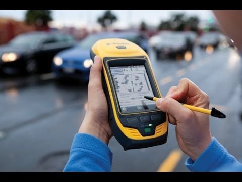
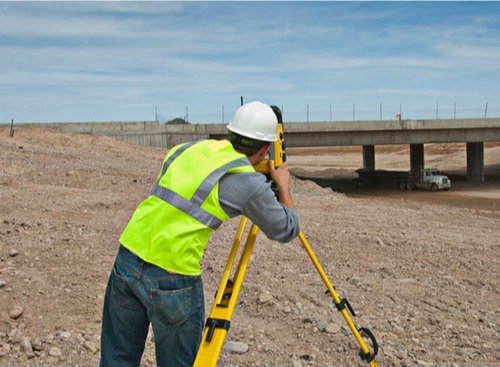
Total Station Surveyor training is a program designed to provide individuals with the knowledge and skills necessary to operate a total station, a modern surveying instrument used to measure distances and angles with high accuracy. The training typically covers a range of topics including the principles of surveying, data collection techniques, use of total station software, calibration of equipment, and safety procedures.
Core Features Of This Course:
- Principles of Total
- Station Practical
- Session Calculations
- Using collected data
Career Opportunities:
- Land surveyor
- Survey Assistant


Participants in Total Station Surveyor training may include land surveyors, engineers, architects, construction professionals, and students seeking to enter these fields. The training may be offered by vocational schools, community colleges, technical institutes, or private training centers.
Upon completion of the training, individuals are expected to be able to operate a total station effectively, accurately measure and record data, create maps and plans, and communicate effectively with other members of a survey team. The skills acquired through Total Station Surveyor training are in high demand in various industries such as construction, land surveying, civil engineering, and architecture.
Total Station Surveyor training typically covers a range of topics that are necessary for individuals to be able to operate a total station accurately and effectively. Some of the topics covered in the training may include:
-
Principles of Surveying: This topic covers the basic principles of surveying, including the use of surveying instruments, surveying techniques, and the principles of trigonometry.
-
Data Collection Techniques: Participants learn about different data collection techniques using a total station, such as measuring distances, angles, and elevations, and how to collect and record data accurately.
-
Total Station Software: Participants learn how to use software associated with total stations, such as AutoCAD, Trimble, and Leica software. This includes data management, processing, and visualization of data.
-
Calibration of Equipment: Participants learn how to calibrate and maintain a total station to ensure that it is accurate and reliable. This includes checking and adjusting the instrument for various errors.
-
Safety Procedures: Participants learn about safety procedures associated with total station use, such as electrical safety, traffic safety, and personal safety.
Total Station Surveyor training may be offered in different formats, such as online or in-person classes, and may vary in duration depending on the level of expertise needed. Additionally, some training programs may offer certifications upon completion that are recognized by industry associations, such as the National Society of Professional Surveyors (NSPS).
Interested in this course?
Leave your number and our training coordinator will call you with batch dates and fees.
Other courses
1 year
1 Month
1 MonthCertification in GIS Professional
SSLC and above (with minimum GIS knowledge), Civil Engineering graduates
Course details