Core Features Of This Course:
- FUNDAMENTALS OF CIVIL ENGINEERING
- LAND SURVERY TECHNIQUES
- LAND DOCUMENTATION METHODS
Career Opportunities:
- Civil Draughtsman in Abroad
- Civil Surveyor


![]()

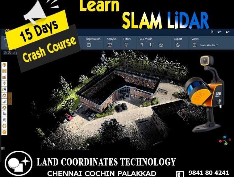
LCT provides Training on the Civil and Geomatics platform with its expert trainers.
The BSS Diploma in Land Survey & Documentation Training is a professional certification program that provides comprehensive training in land surveying and documentation. The program is designed to equip students with the skills and knowledge required to carry out accurate land surveying, mapping, and documentation.
![]()
LCT supplies conventional to advance Survey Instruments And Accessories of leading OEMs on a very Cost effective basis
To become a DGPS surveyor, you typically need to have a degree or diploma in surveying, geomatics engineering, or a related field. Some employers may also require additional training or certification in DGPS technology and software.
View Case Studie Details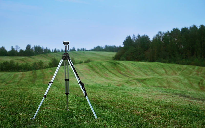
Advanced Land Surveyor training is a program designed to provide individuals with the necessary skills and knowledge to become an expert in the field of land surveying.
View Case Studie Details