Core Features Of This Course:
- Basics of Photogrammetry
- Data Capture Techniques
- Practical Session on Photogrammetry
Career Opportunities:
- Career growth from the current position
- Photogrammetry specialist


![]()

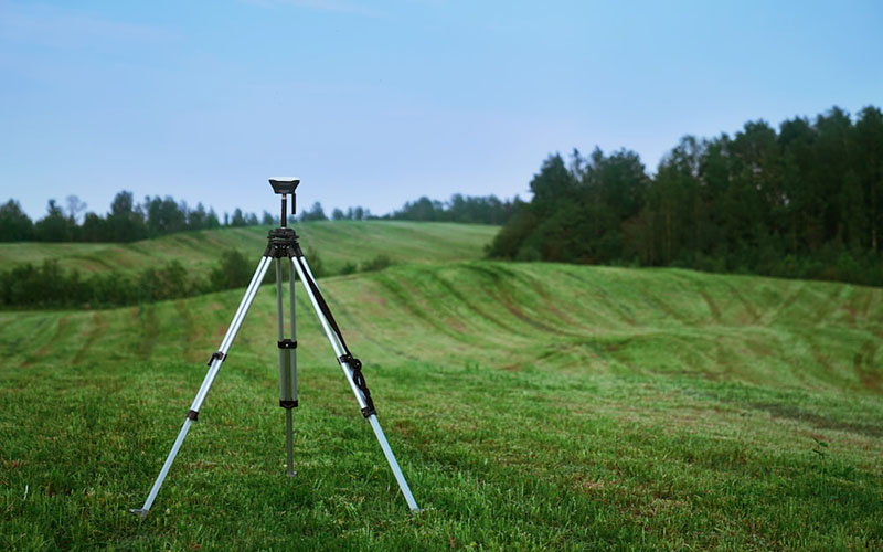
LCT provides Training on the Civil and Geomatics platform with its expert trainers.
Photogrammetry is the process of using photographs to measure and map physical objects and environments. It has a wide range of applications, including in mapping, surveying, construction, archaeology, and many others.
![]()
LCT supplies conventional to advance Survey Instruments And Accessories of leading OEMs on a very Cost effective basis
Advanced Land Surveyor training is a program designed to provide individuals with the necessary skills and knowledge to become an expert in the field of land surveying.
View Case Studie Details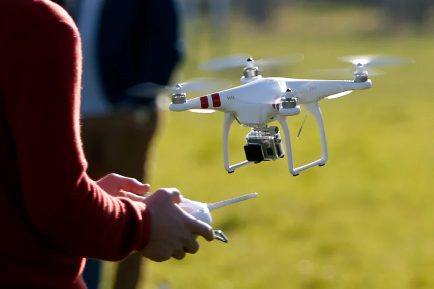
Drone surveying is a rapidly growing field that uses unmanned aerial vehicles (UAVs), or drones, to collect high-resolution data for a variety of applications such as mapping, construction, land surveying, and environmental monitoring.
View Case Studie Details