GPR Survey
A GPR survey involves using a specialized antenna to focus electromagnetic pulses (radar signals) of short duration into the ground. These signals propagate and
Read MorePhotogrammetry deals with acquiring imageries of the Earth’s surface and carrying out analysis with the data. Our team expertise in feature extraction, 3D modelling in the required LoD (Level of Detail) and reality capturing.
Photogrammetry is the science of obtaining reliable measurements and information about the physical properties of objects and their environment using photographs. This technique involves taking multiple overlapping images of an object or scene from different angles, and then processing these images to create a 3D model or map of the object or environment.
Photogrammetry has a wide range of applications, including land surveying, cartography, archaeology, geology, forestry, civil engineering, and many others. It is particularly useful in cases where direct measurements are difficult or impossible to obtain.
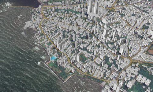
The process of photogrammetry involves various steps, including image acquisition, image preprocessing, image matching, 3D reconstruction, and data analysis. The accuracy and reliability of photogrammetric results depend on various factors such as camera calibration, image quality, and the availability of control points. With the advent of advanced digital cameras and software, photogrammetry has become more accessible and widely used in many fields.
Photogrammetry is a complex process that involves the use of specialized software and techniques to obtain accurate and reliable measurements and information from photographs. Here are some more details about the different stages involved in photogrammetry:
Image Acquisition: The first step in photogrammetry is to capture a series of overlapping photographs of the object or scene of interest using a camera or drone. The photographs should be taken from different angles to provide a complete coverage of the object or scene.
Image Preprocessing: The next step is to preprocess the images to remove any distortion, noise, or artifacts that might affect the accuracy of the results. This can involve correcting lens distortion, adjusting exposure, and enhancing image quality.
Image Matching: The images are then processed to identify corresponding points and features that can be used to create a 3D model. This is done by using algorithms that analyze the images and identify common points of interest.
3D Reconstruction: Once the corresponding points have been identified, the images are used to create a 3D model of the object or scene. This involves triangulating the position of each point in 3D space based on the corresponding points in multiple images.
Data Analysis: Finally, the 3D model is analyzed to obtain the desired measurements and information. This can involve measuring distances, volumes, areas, or angles, or extracting other features such as texture or color.
Photogrammetry can be done using various types of cameras, including traditional film cameras, digital cameras, or drones equipped with cameras. The accuracy of the results depends on several factors, such as the quality of the camera, the number of images taken, and the level of control and accuracy used in the image processing.
Applications of photogrammetry include creating topographic maps, modeling buildings and structures, creating digital elevation models, analyzing geological features, and monitoring environmental changes.
The services provided by us are,
•Aerial Triangulation
•Image Processing
•Terrain Modelling
•Orthomosaic
•3D Modelling
Land Coordinated Technology Company in India, provides the best quality of services in Civil Engineering Surveying, GPR Survey, Land Surveying, and Civil Based Traffic Services etc.

A GPR survey involves using a specialized antenna to focus electromagnetic pulses (radar signals) of short duration into the ground. These signals propagate and
Read More
GIS deals with the information about the earth and its features. The spatial and non-spatial data of the Earth’s surface are managed precisely with the
Read More
LCT has well qualified civil engineers who have esteemed experience in handling civil related works. We have associates qualified from Institution of Valuers.
Read More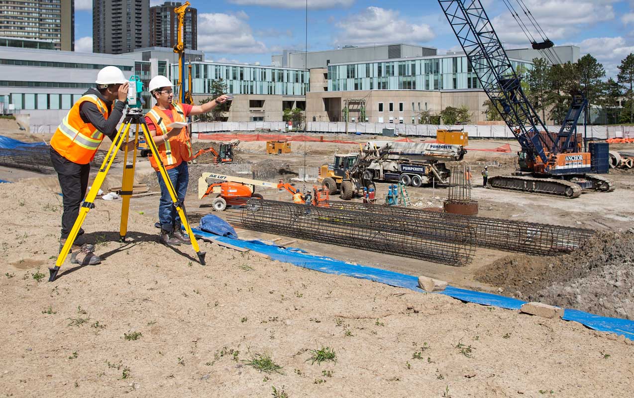
LCT has well qualified civil engineers who have esteemed experience in handling civil related works. We have associates qualified from Institution of Valuers.
Read More
LCT has well qualified civil engineers who have esteemed experience in handling civil related works. We have associates qualified from Institution of Valuers.
Read More
LCT has well qualified civil engineers who have esteemed experience in handling civil related works. We have associates qualified from Institution of Valuers.
Read More


LCT provides Training on the Civil and Geomatics platform with its expert trainers. We provide Government of India approved and recognised course.
Get a professional BSS Diploma in Civil Draughts man with our widely recognized certificate programme.
Students get theoretical and practical knowledge from our Industrial experts. Our students are made to develop the skills to face the real world projects confidently.
Drone surveying is a rapidly growing field that uses unmanned aerial vehicles (UAVs), or drones, to collect high-resolution data for a variety of applications such as mapping, construction, land surveying, and environmental monitoring.
View Course DetailsChoose wisely and move ahead in your career by taking the GIS Professional Certificate course from LCT. This is a best course which covers all the advanced technologies in the syllabus. The course will be taught by industrial experts, so the students get abundant knowledge on the technology and the real world projects.
View Course DetailsCAD (Computer-Aided Design) Draftsman training course is designed to train individuals in the use of computer software and technology to create technical drawings and 3D models used in the manufacturing, engineering, and architecture industries.
View Course Details


