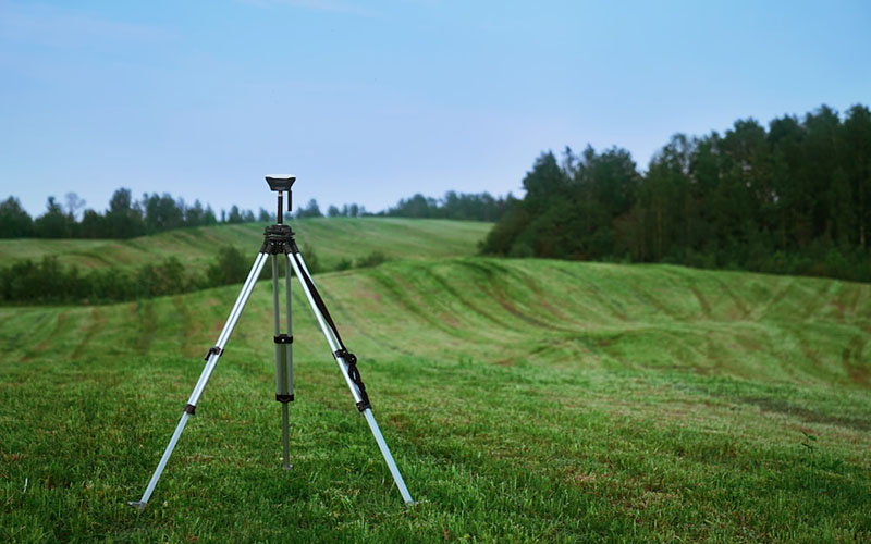
Land surveying training typically involves a combination of classroom learning and hands-on experience. You will learn about the principles of geodesy, cartography, surveying methods, and other related topics. You will also develop practical skills such as using surveying instruments, analyzing data, and creating maps.
Depending on your area, you may need to obtain certifications or licenses to practice as a land surveyor. These certifications typically require you to pass an exam and demonstrate your knowledge and skills in the field.
Land surveying is a rewarding career that offers opportunities for growth and advancement. With the right training and experience, you can build a successful career in this field and contribute to the development of your community and the world at large.
Land surveying is a critical field that involves measuring and mapping land and other natural resources. If you’re interested in pursuing a career in land surveying, you’ll need to undergo training and acquire the necessary skills and knowledge.
Here are some steps you can take to get started with land surveying training:
Research the requirements in your area: The requirements for becoming a land surveyor vary from one country or region to another. You should research the requirements in your area to determine what qualifications, certifications, or licenses you need to practice as a surveyor.
Enroll in a land surveying program: There are many schools and universities that offer land surveying programs. Look for a program that is accredited by the relevant professional bodies in your area. A land surveying program typically covers topics such as geodesy, land development, surveying methods, and mapping.
Seek hands-on experience: Land surveying requires practical skills that you can only acquire through hands-on experience. You can seek internships, apprenticeships, or part-time work with established surveying firms to gain practical experience.
Obtain relevant certifications: Depending on your area, you may need to obtain certifications to practice as a land surveyor. Examples include the Certified Survey Technician (CST) certification offered by the National Society of Professional Surveyors (NSPS) and the Professional Land Surveyor (PLS) certification offered by the National Council of Examiners for Engineering and Surveying (NCEES).
Stay up-to-date with the latest developments: Land surveying is a field that is constantly evolving. You should stay up-to-date with the latest developments in the industry by attending conferences, participating in professional organizations, and reading relevant publications.