Core Features Of This Course:
- Principles of Drone
- Instrument Handling
- Data visualization
Career Opportunities:
- Survey expert
- Drone operator


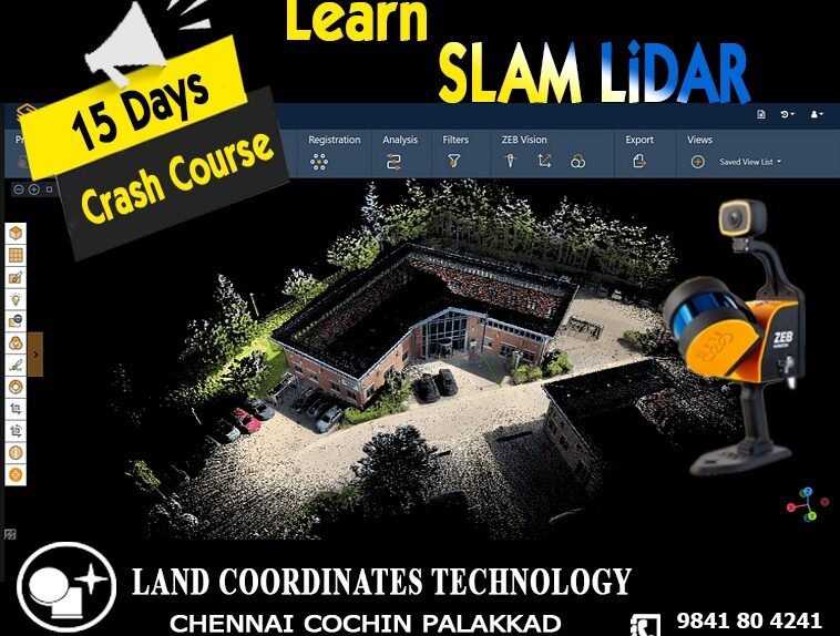
LCT provides Training on the Civil and Geomatics platform with its expert trainers.
Drone surveying is a rapidly growing field that uses unmanned aerial vehicles (UAVs), or drones, to collect high-resolution data for a variety of applications such as mapping, construction, land surveying, and environmental monitoring. Drone surveyors use advanced technology and software to capture images and data from the air and create detailed 2D and 3D models of the land and structures below.
LCT supplies conventional to advance Survey Instruments And Accessories of leading OEMs on a very Cost effective basis
To become a DGPS surveyor, you typically need to have a degree or diploma in surveying, geomatics engineering, or a related field. Some employers may also require additional training or certification in DGPS technology and software.
View Case Studie Details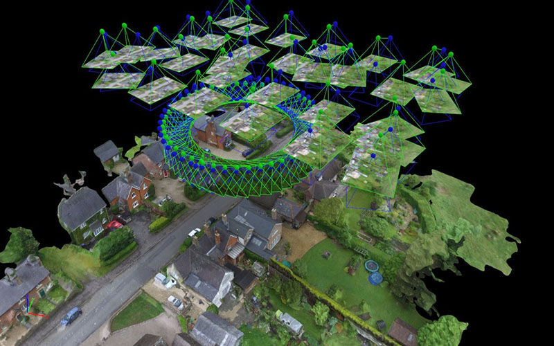
Photogrammetry is the process of using photographs to measure and map physical objects and environments. It has a wide range of applications, including in mapping, surveying, construction, archaeology, and many others.
View Case Studie Details