The SLAM process with LiDAR involves two primary tasks:
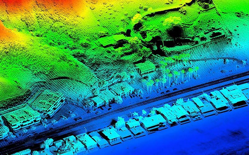
Mapping: The LiDAR sensor scans its surroundings and builds a detailed 3D map of the environment, including objects, obstacles, walls, and other structures. This map is usually represented as a point cloud or a collection of 3D data points.
Localization: At the same time, the SLAM algorithm uses the LiDAR data, along with other sensor inputs such as odometry or IMU (Inertial Measurement Unit), to estimate the precise location and orientation of the LiDAR sensor (and by extension, the robot or vehicle) within the created map.
Combining both mapping and localization in real-time allows the system to understand its immediate surroundings while continuously updating its position within that environment. This dynamic capability is particularly valuable for autonomous vehicles, drones, robotic exploration, and other applications where accurate localization and mapping are essential for safe and efficient operation.
SLAM with LiDAR has seen remarkable advancements in recent years, making it a fundamental technology in the development of autonomous systems. It has paved the way for innovative applications in industries like transportation, agriculture, construction, and urban planning, promising a future where robots and intelligent machines can navigate and interact seamlessly with the world around them.
However, I can provide a general overview of SLAM LiDAR training and what it typically involves:
SLAM LiDAR training is a specialized program that educates individuals or professionals in the field of Simultaneous Localization and Mapping (SLAM) with LiDAR technology. It aims to equip participants with the necessary knowledge and skills to implement SLAM algorithms using LiDAR sensors for mapping and localization tasks.
The training program might cover the following topics:
Introduction to LiDAR: Understanding the principles and working of LiDAR sensors, laser scanning, and point cloud data generation.
SLAM Fundamentals: Learning the basics of SLAM algorithms, sensor fusion, and the underlying mathematics behind the process.
LiDAR Data Processing: Preprocessing, filtering, and feature extraction from LiDAR point cloud data.
SLAM Techniques: Exploring different SLAM approaches, such as EKF-SLAM (Extended Kalman Filter SLAM), Graph-Based SLAM, and Particle Filter SLAM.
Map Representation: Understanding various methods to represent the generated maps, such as occupancy grids, octrees, or point clouds.
Localization Methods: Studying techniques for estimating the position and orientation of a robot or vehicle using LiDAR data and sensor fusion.
SLAM Implementation: Practical hands-on sessions where participants implement SLAM algorithms using real LiDAR datasets and open-source libraries.
SLAM Applications: Exploring real-world applications of SLAM with LiDAR, such as autonomous vehicles, robotic navigation, and augmented reality.
Challenges and Limitations: Understanding the challenges faced in SLAM LiDAR applications and potential solutions.
It’s essential to verify the authenticity and reputation of any training provider or website before enrolling in a course. If “lctss.in” is a real website offering SLAM LiDAR training, I recommend checking their course details, instructors’ qualifications, reviews from previous participants, and other relevant information to ensure the quality of the training program they offer.