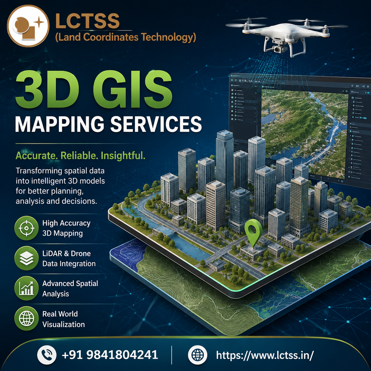
3D GIS Mapping Services – Advanced Geospatial Solutions for Accurate Mapping
LCTSS (Land Coordinates Technology) provides professional 3D GIS Mapping Services designed to help businesses, engineers, surveyors, planners, and infrastructure professionals understand locations and spatial information with greater accuracy and clarity. 3D GIS mapping combines Geographic Information System technology with three-dimensional visualization to represent buildings, terrain, roads, infrastructure, land features, and other geographic elements in a realistic digital environment. By transforming conventional spatial information into interactive 3D models, organizations can analyze complex locations, visualize proposed developments, and make better decisions based on accurate geospatial data.
Traditional 2D maps are useful for displaying locations and boundaries, but they may not provide enough information for projects that involve elevation, height, terrain variation, structures, and complex infrastructure. 3D GIS Mapping Services add another dimension to spatial analysis by representing geographic features according to their real-world height, depth, and position. This makes it easier to understand terrain conditions, building structures, urban environments, transportation networks, and infrastructure layouts.
At LCTSS, 3D GIS mapping solutions can support the conversion of survey information, aerial imagery, LiDAR data, drone data, satellite imagery, CAD drawings, and other geospatial datasets into meaningful 3D GIS environments. These datasets can be processed, organized, analyzed, and visualized to create detailed spatial representations suitable for engineering, construction, land development, urban planning, infrastructure management, and other applications.
High-Accuracy 3D GIS Mapping and Spatial Data Solutions
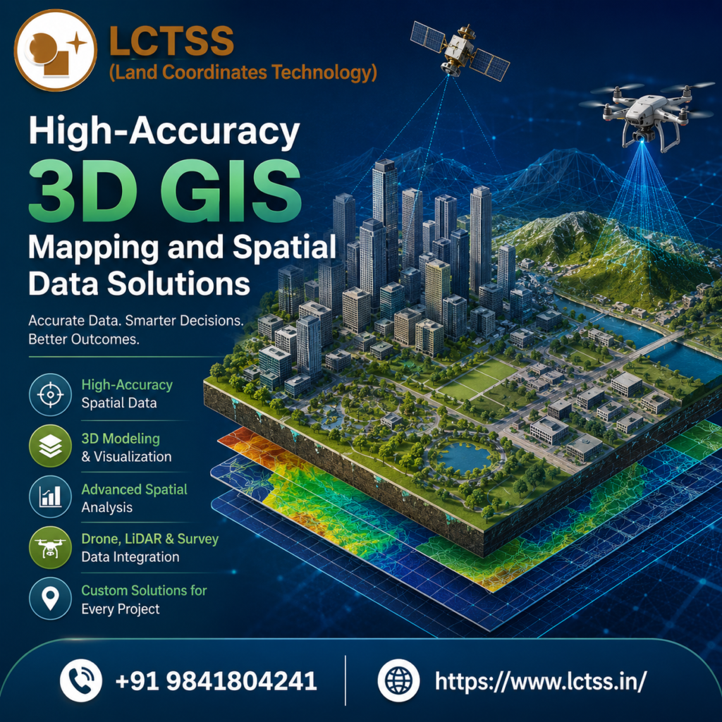
Accuracy is one of the most important requirements in surveying, engineering, construction, and infrastructure projects. LCTSS focuses on developing reliable geospatial datasets that can support project planning and spatial decision-making. Our 3D GIS Mapping Services can integrate different sources of geographic information to create a comprehensive view of the project area. Depending on project requirements, spatial datasets can include elevation information, land boundaries, buildings, roads, utilities, vegetation, terrain surfaces, and other geographic features.
3D GIS mapping can be particularly useful when a project requires a detailed understanding of elevation and terrain.
Digital Elevation Models, Digital Surface Models, point clouds, contour information, aerial imagery, and survey datasets can be incorporated into a 3D GIS environment. This allows professionals to visualize slopes, terrain changes, building heights, drainage patterns, road levels, and other important geographic characteristics.
For construction and civil engineering projects, 3D GIS mapping can provide valuable support during planning and design stages. Project teams can visualize existing site conditions and compare them with proposed developments. This can help identify spatial relationships, potential constraints, access requirements, terrain challenges, and infrastructure conflicts before construction begins. A detailed 3D representation can also make complex technical information easier for project stakeholders to understand.
LCTSS can also support 3D GIS data processing and visualization for large and complex datasets. GIS professionals can organize spatial information into appropriate layers and coordinate systems, enabling users to analyze different features within the same geographic environment. By combining spatial and attribute information, organizations can create intelligent mapping solutions where geographic objects can be linked with relevant project information.
Modern surveying technologies such as LiDAR and drone-based mapping can further enhance 3D GIS projects. LiDAR data can capture detailed information about terrain and structures, while drone photogrammetry can provide high-resolution aerial information for mapping and modeling. When these datasets are integrated with GIS technology, they can provide a detailed representation of real-world environments and support advanced spatial analysis.
Applications of 3D GIS Mapping Services
3D GIS Mapping Services have applications across several industries because they provide a more realistic representation of geographic environments. In urban planning, 3D GIS can be used to visualize buildings, roads, public infrastructure, land parcels, and proposed developments. Planners can examine how new structures may fit within an existing urban environment and study relationships between buildings, transportation networks, open spaces, and other geographic features.
In civil engineering and construction, 3D GIS mapping can support site analysis, infrastructure planning, terrain assessment, construction monitoring, and project visualization. Engineers can use 3D spatial information to understand existing conditions and evaluate how proposed infrastructure may interact with the surrounding environment. Roads, bridges, buildings, pipelines, drainage systems, and other assets can be represented within a unified geographic environment.
For land surveying and property development, 3D GIS mapping can help organize spatial information relating to land boundaries, terrain, structures, and other site features. Survey data can be integrated with GIS layers to create a detailed digital representation of a project area. This can support land development planning, site evaluation, property visualization, and infrastructure coordination.
Transportation and road development projects can also benefit from 3D GIS technology. Roads, intersections, terrain, bridges, traffic infrastructure, and surrounding structures can be visualized in three dimensions. This can assist with corridor planning, road alignment studies, infrastructure management, and visualization of proposed transportation projects.
Environmental and natural resource projects can use 3D GIS to analyze terrain, vegetation, water bodies, land-use patterns, and environmental features. Combining elevation data with other geographic information can help professionals understand the spatial characteristics of an area and support environmental assessment and planning activities.
3D GIS is also becoming increasingly valuable for smart city initiatives and digital infrastructure management. Cities can create digital representations of buildings, roads, utilities, public spaces, and other assets. Such models can support urban visualization, infrastructure planning, asset management, and data-driven decision-making. When updated with current spatial information, 3D GIS environments can become valuable digital resources for long-term planning and management.
Why Choose LCTSS for 3D GIS Mapping?
LCTSS (Land Coordinates Technology) combines surveying, GIS, mapping, and modern geospatial technologies to deliver practical spatial data solutions for different project requirements. Our approach to 3D GIS Mapping Services focuses on transforming complex geographic datasets into structured and understandable information that can support engineering, planning, surveying, and infrastructure-related decisions.
A major advantage of working with professional 3D GIS solutions is the ability to bring multiple datasets together within a single geographic environment. Survey data, CAD drawings, satellite imagery, drone imagery, LiDAR point clouds, terrain models, and existing GIS information can be integrated according to project requirements. This helps reduce data fragmentation and provides stakeholders with a more complete understanding of the project area.
LCTSS can support projects that require accurate mapping, spatial analysis, 3D visualization, GIS data processing, and geospatial information management. Our solutions can be customized according to the scale and objectives of each project, whether it involves a specific site, large infrastructure corridor, urban environment, land development project, or extensive geographic area.
With the growing adoption of digital transformation, 3D GIS is becoming an important technology for organizations that need better visualization and spatial intelligence. Instead of relying only on conventional maps and disconnected datasets, businesses can use interactive 3D geographic information to understand complex environments more effectively. This can improve communication between technical teams, project managers, planners, engineers, and other stakeholders.
LCTSS is committed to supporting organizations with modern geospatial mapping solutions that improve the way spatial information is captured, processed, visualized, and used. Our 3D GIS Mapping Services can help convert geographic data into meaningful digital models that support planning, analysis, visualization, and project management.
Whether you are working on a construction project, land development, infrastructure project, urban planning initiative, surveying assignment, transportation project, or GIS-based application, 3D GIS technology can provide a powerful way to understand geographic conditions. With the integration of modern surveying and mapping technologies, LCTSS can help organizations build detailed and useful 3D spatial datasets for their specific requirements.
Choose LCTSS (Land Coordinates Technology) for professional 3D GIS Mapping Services and transform complex geographic information into accurate, informative, and visually engaging 3D mapping solutions. Our geospatial expertise and technology-driven approach can help organizations use spatial data more effectively and support smarter planning for modern engineering and infrastructure projects.