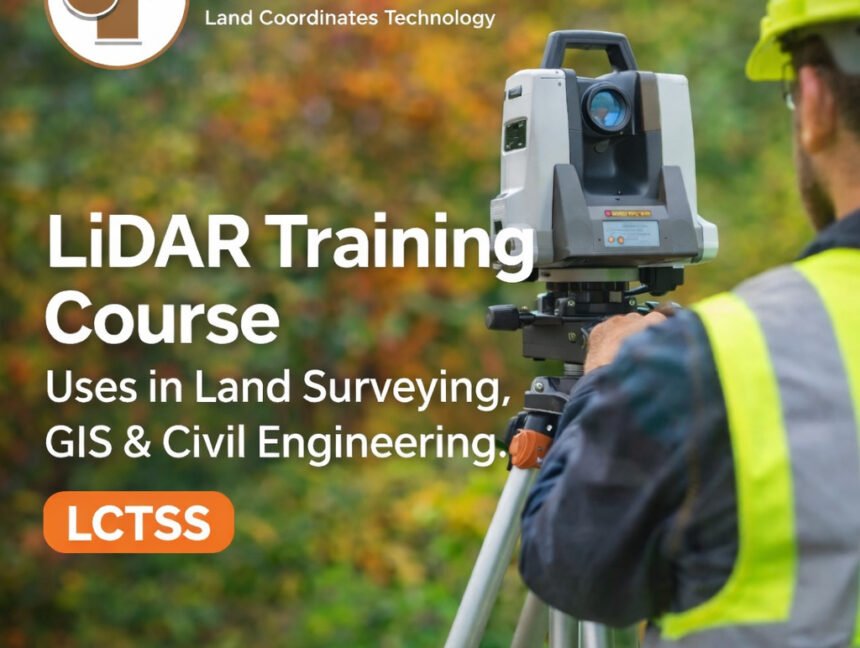
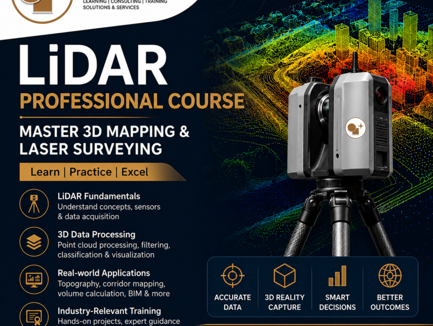
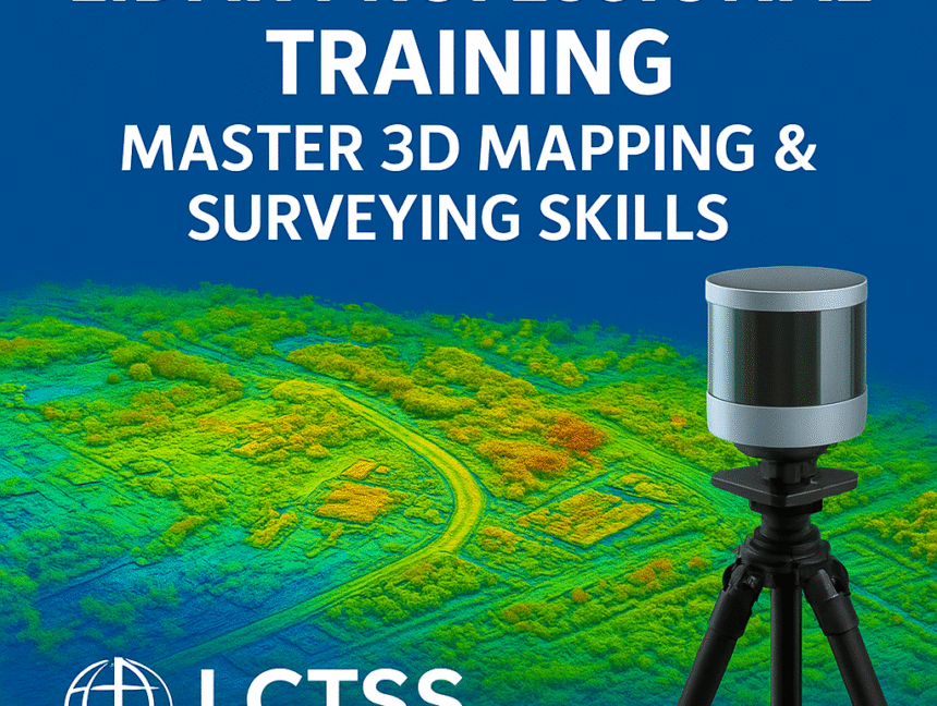
Category: LiDAR Training

  • Blog
  • Category: LiDAR Training
LiDAR Training Institute & Land Survey Course Training at LCTSS (Land Coordinates Technology)
  • No Comments

LiDAR Training Institute & Land Survey Course Training at LCTSS (Land Coordinates Technology)

Empowering Surveying Professionals with Industry-Leading Training Land Coordinates Technology (LCTSS) is a premier training institute dedicated to providing world-class education and hands-on training in LiDAR technology and land survey course training. As the demand for skilled geospatial professionals continues to rise, our programs are designed to equip students, professionals, and organizations with the technical expertise

  • No Comments

LiDAR Professional Training in Thiruvananthapuram: The Best Choice for Skill Enhancement

Are you looking to enhance your skills in LiDAR technology and advance your career in the geospatial industry? Enroll in the Top Advanced LiDAR Professional Training in Thiruvananthapuram, designed to equip participants with in-depth knowledge and hands-on expertise. Whether you are a professional aiming to improve your technical skills or a student pursuing a career

  • No Comments

Certification in SLAM LiDAR Professional Training in Thiruvananthapuram: A Comprehensive Guide

In today’s rapidly advancing technological landscape, SLAM (Simultaneous Localization and Mapping) and LiDAR (Light Detection and Ranging) technologies have gained immense importance. These technologies are now being widely used in various industries such as robotics, autonomous vehicles, geospatial mapping, and urban planning. As demand for skilled professionals in these fields grows, obtaining the best Certification

  • No Comments

Lidar Training Institute in Tiruchirappalli (Trichy), Tamilnadu: Elevate Your Geospatial Skills with Land Coordinates Technology (Lctss)

Introduction to Lidar Technology Light Detection and Ranging (Lidar) is a remote sensing technology that uses laser light to map the surface of the Earth with high precision and accuracy. This cutting-edge technology is revolutionizing various fields such as archaeology, geography, forestry, and urban planning by providing detailed topographical data. Understanding and mastering Lidar technology