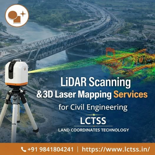
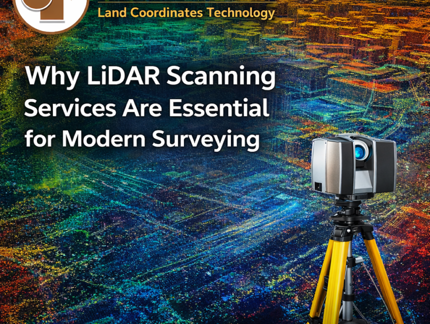
Category: Lidar Scanning Services

  • Blog
  • Category: Lidar Scanning Services
LiDAR Scanning Experts – Detailed Topographic & Site Surveys
  • No Comments

LiDAR Scanning Experts – Detailed Topographic & Site Surveys

In the world of modern land surveying, LiDAR (Light Detection and Ranging) technology stands as a game-changer. It provides surveyors, engineers, and planners with high-precision 3D data that captures every detail of the terrain, structures, and landscape. At Lctss (Land Coordinates Technology), we take pride in being recognized as LiDAR scanning experts delivering detailed topographic

  • No Comments

Affordable LiDAR Scanning Services Near You | Accurate & Fast

In today’s fast-paced construction, land development, and infrastructure landscape, precision and efficiency are non-negotiable. Lctss (Land Coordinates Technology) is your trusted partner offering affordable LiDAR scanning services that are not only cost-effective but also accurate and delivered with unmatched speed. Whether you’re working on a residential project, industrial site, or infrastructure planning, our cutting-edge LiDAR

  • No Comments

Lidar Data Processing Services and LiDAR Scanning Services by Land Coordinates Technology (Lctss)

In the rapidly evolving world of geospatial technologies, LiDAR (Light Detection and Ranging) has revolutionized how we perceive, map, and analyze our environment. At Land Coordinates Technology (Lctss), we offer advanced LiDAR Data Processing Services and high-precision LiDAR Scanning Services tailored to meet the growing demand for accurate, efficient, and scalable spatial data solutions across

  • No Comments

Advanced LiDAR Scanning Services & Data Production for LCTSS (Land Coordinates Technology)

Introduction LiDAR (Light Detection and Ranging) technology has revolutionized the way land surveying and geospatial data collection are performed. With advanced LiDAR scanning services, industries such as construction, forestry, urban planning, and infrastructure development can achieve highly accurate 3D mapping and modeling. At LCTSS (Land Coordinates Technology Surveying Services), we provide cutting-edge LiDAR data production