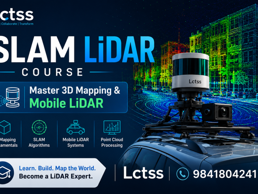
Category: SLAM LiDAR Professional Training

  • Blog
  • Category: SLAM LiDAR Professional Training
Enroll in SLAM LiDAR Training in Chennai, Tamilnadu at Land Coordinates Technology
  • No Comments

Enroll in SLAM LiDAR Training in Chennai, Tamilnadu at Land Coordinates Technology

In the rapidly evolving field of surveying and geospatial technology, staying ahead of the curve is crucial. With the advent of cutting-edge technologies like SLAM (Simultaneous Localization and Mapping) LiDAR, professionals now have the tools to capture detailed and accurate spatial data like never before. If you are looking to elevate your career in this

  • No Comments

SLAM LiDAR Training in Tiruchirappalli, Tamilnadu by Land Coordinates Technology (Lctss)

Introduction to SLAM LiDAR Simultaneous Localization and Mapping (SLAM) using LiDAR technology is revolutionizing the way we understand and interact with our environment. By simultaneously creating a map of an unknown area while keeping track of the device’s location within it, SLAM LiDAR technology offers unprecedented accuracy and efficiency in various fields such as autonomous

  • No Comments

Step Up Your Game with SLAM LiDAR Training in Salem

In the dynamic field of geospatial technology, the integration of advanced tools and techniques is essential for achieving precise and efficient land surveying and mapping. One of the most transformative technologies in this domain is SLAM (Simultaneous Localization and Mapping) combined with LiDAR (Light Detection and Ranging). Recognizing the growing demand for expertise in this

  • No Comments

Master SLAM LiDAR Training in Madurai: Land Coordinates Technology

Unlock the potential of cutting-edge technology with SLAM LiDAR training in Madurai, brought to you by Land Coordinates Technology (LCT). As the forefront runners in Land Coordinates Technology, LCT is proud to introduce this specialized training program aimed at empowering individuals and organizations with the skills necessary to harness the power of LiDAR for mapping