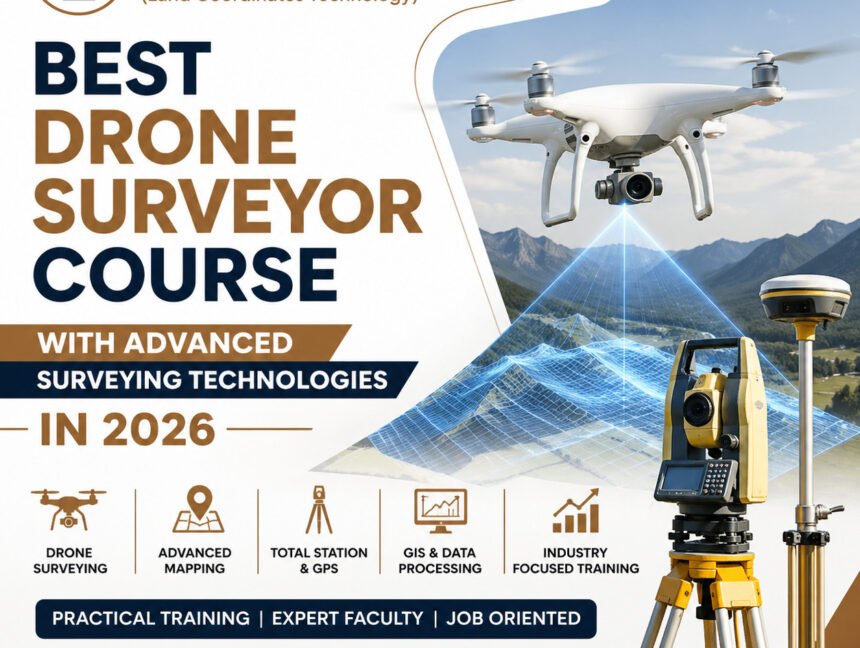
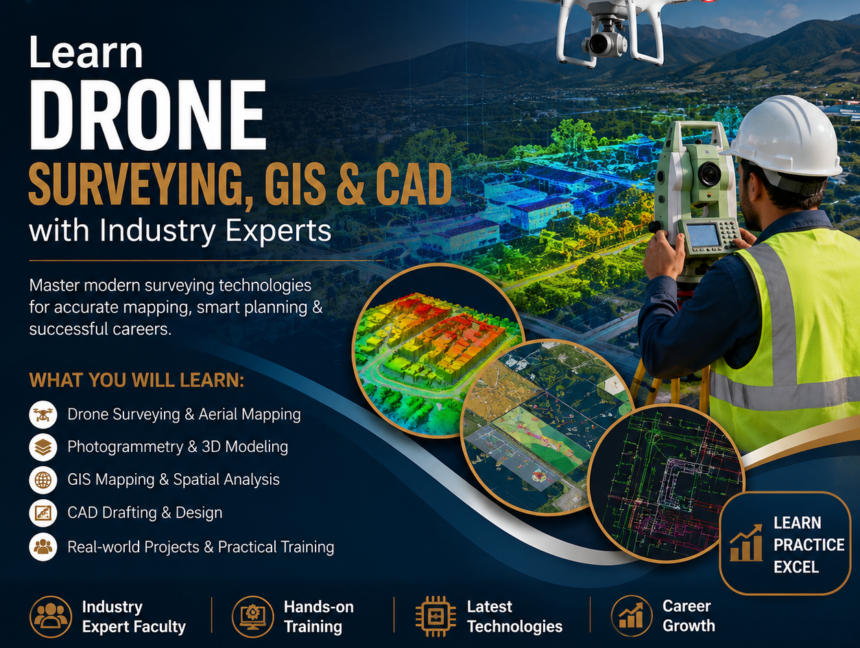
Category: Drone Surveyor Training

  • Blog
  • Category: Drone Surveyor Training
Best Drone Surveyor Course with Advanced Surveying Technologies in 2026
  • No Comments

Best Drone Surveyor Course with Advanced Surveying Technologies in 2026

Best Drone Surveyor Course with Advanced Surveying Technologies in 2026 The demand for skilled drone surveyors is growing rapidly in 2026 as industries such as construction, infrastructure, mining, agriculture, real estate, highways, and urban planning increasingly depend on modern aerial surveying solutions. If you are looking to build a successful career in this fast-growing field,

  • No Comments

Drone Surveyor Course Uses in Modern Land Surveying & Mapping

Introduction to Drone Surveying in Modern Mapping The rapid evolution of surveying technology has transformed the way land surveying and mapping are carried out across industries. Among these advancements, drone-based surveying has emerged as a powerful, efficient, and highly accurate solution for modern land measurement needs. The Drone Surveyor Course offered by LCTSS (Land Coordinates

  • No Comments

Drone Surveyor Course – Launch Your Career in Aerial Mapping with Lctss

In today’s fast-paced geospatial and infrastructure sectors, drone surveying has emerged as a game-changing technology that redefines the way land data is collected, analyzed, and utilized. From construction planning and land mapping to mining, agriculture, and urban development, drone-based surveying offers unmatched precision and efficiency. If you’re an aspiring land surveyor, civil engineer, or GIS

  • No Comments

Drone Surveyor Training – Launch Your Career in Aerial Mapping Today!

In today’s data-driven world, aerial mapping using drones has transformed the landscape of land surveying, construction, agriculture, and infrastructure planning. With the demand for precise, real-time geospatial data rising rapidly, Drone Surveyor Training has become a crucial pathway for individuals aspiring to join the growing geospatial and mapping industry. At Lctss (Land Coordinates Technology), we