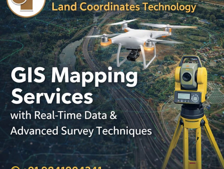
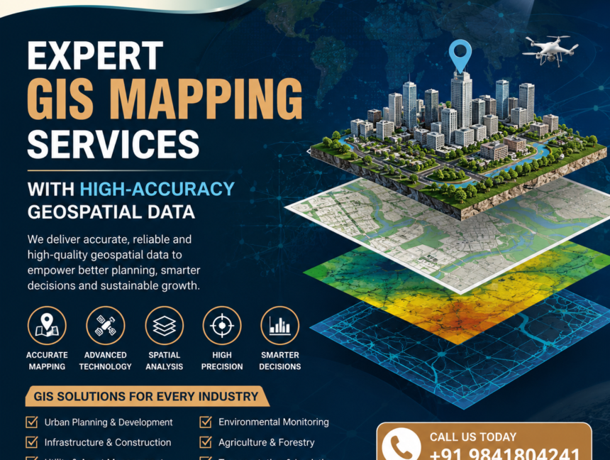
Category: GIS Mapping

  • Blog
  • Category: GIS Mapping
Future of GIS Mapping with AI, GPS & Drone Surveying Technology
  • No Comments

Future of GIS Mapping with AI, GPS & Drone Surveying Technology

Future of GIS Mapping with AI, GPS & Drone Surveying Technology The future of GIS Mapping with AI, GPS & Drone Surveying Technology is transforming the way industries collect, analyze, and manage spatial data. Businesses today require accurate mapping solutions for land development, infrastructure planning, agriculture, mining, construction, and smart city projects. Traditional surveying methods,

  • No Comments

GIS Mapping Services with Real-Time Data & Advanced Survey Techniques

GIS Mapping Services with Real-Time Data & Advanced Survey Techniques In today’s rapidly evolving infrastructure and development landscape, accurate geospatial data plays a vital role in decision-making and project execution. Land Coordinates Technology (LCTSS) stands at the forefront of this transformation by offering advanced GIS Mapping Services powered by real-time data and cutting-edge survey techniques.

  • No Comments

Complete GIS Mapping & Spatial Data Solutions

Complete GIS Mapping & Spatial Data Solutions – Land Coordinates Technology (LCTSS) In today’s data-driven world, accurate geographic information is the foundation of smart planning and sustainable development. Land Coordinates Technology (LCTSS) delivers complete GIS Mapping & Spatial Data Solutions designed to support government departments, infrastructure developers, construction companies, urban planners, and private organizations with

  • No Comments

GIS Digital Mapping Services – High-Quality Maps for Engineering & Construction

In today’s rapidly evolving engineering, construction, and land development sectors, GIS Digital Mapping Services have become essential for accurate planning, smart decision-making, and efficient project execution. At Lctss (Land Coordinates Technology), we deliver high-quality GIS digital maps designed to support civil engineering, infrastructure design, land surveys, and large-scale construction projects. With advanced geospatial tools, professional