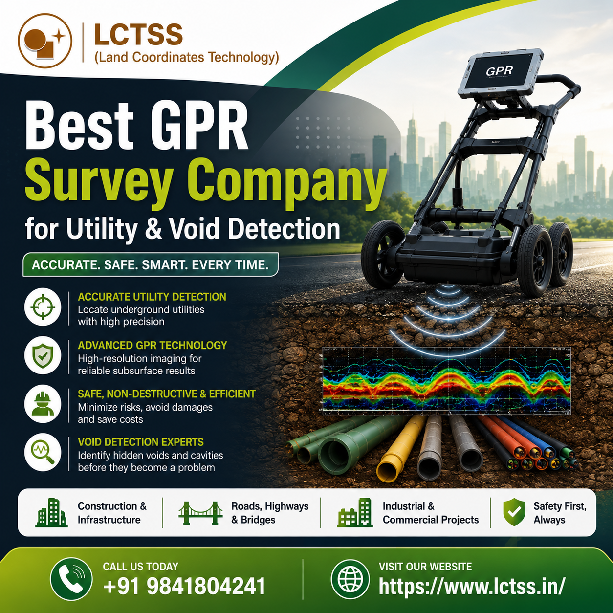
Best GPR Survey Company for Utility & Void Detection – LCTSS (Land Coordinates Technology)
When it comes to identifying hidden underground utilities, cavities, and structural voids, choosing the Best GPR Survey Company for Utility & Void Detection is essential for the safety and success of any construction, infrastructure, or land development project. LCTSS (Land Coordinates Technology) has established itself as a trusted name in the field of Ground Penetrating Radar (GPR) survey services, delivering accurate, non-destructive, and reliable subsurface investigation solutions across various industries. With advanced GPR equipment, experienced survey professionals, and a commitment to precision, LCTSS helps clients detect underground utilities, voids, pipelines, cables, and structural anomalies before excavation begins.
Ground Penetrating Radar is one of the most effective technologies for underground utility detection because it provides real-time imaging of subsurface conditions without damaging the ground or existing structures. Traditional excavation methods can be risky, expensive, and time-consuming, especially in areas with buried electrical cables, water pipelines, gas lines, drainage networks, or communication ducts. LCTSS uses high-performance GPR systems to accurately locate these utilities and create detailed underground utility maps that help engineers, contractors, and project managers make informed decisions. By identifying underground assets before excavation, clients can avoid costly utility strikes, project delays, safety hazards, and legal complications.
Advanced Utility Detection Services
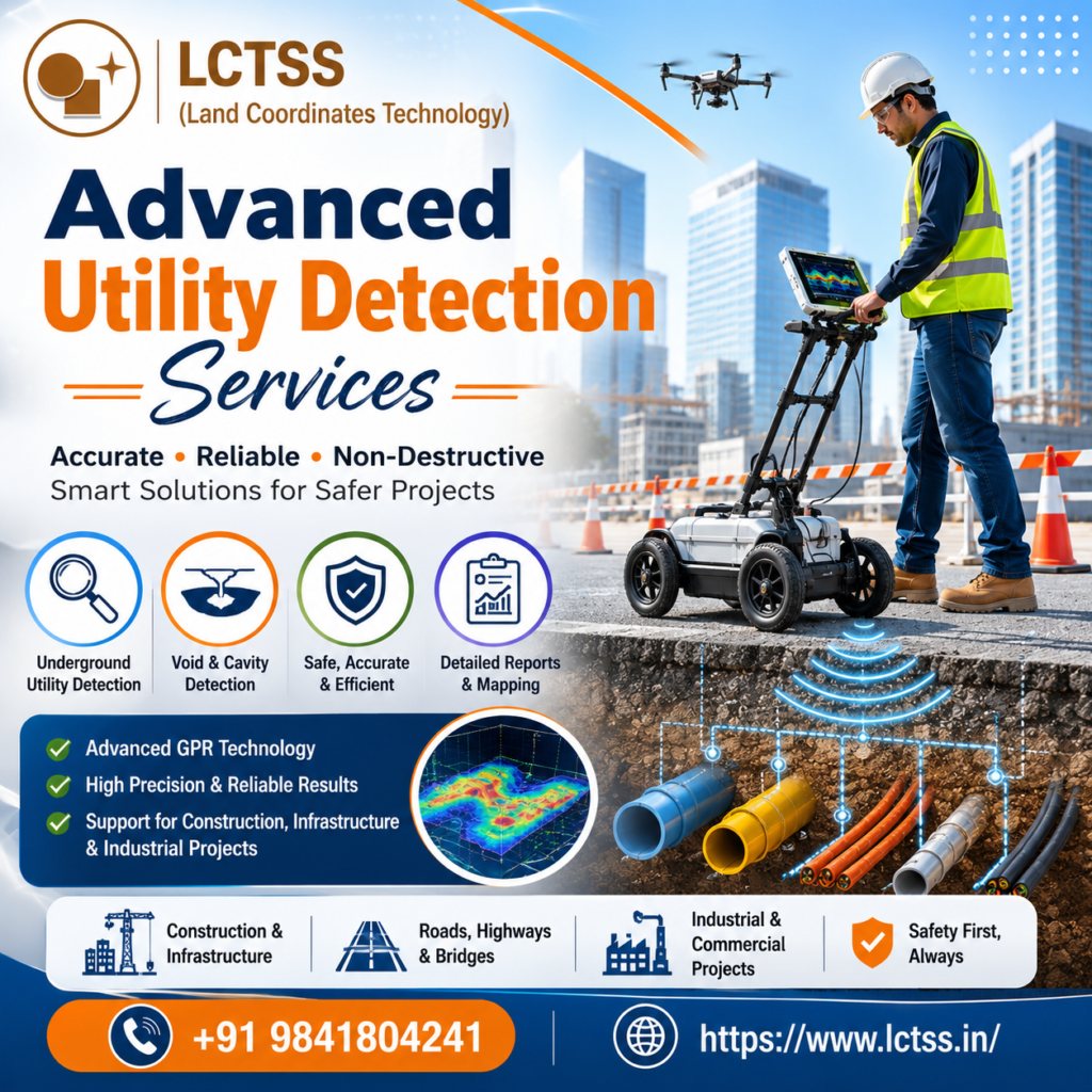
As the Best GPR Survey Company for Utility & Void Detection, LCTSS provides comprehensive utility detection services for construction sites, roads, highways, industrial facilities, commercial buildings, residential developments, airports, ports, railways, and infrastructure projects. The company’s GPR surveys can detect metallic and non-metallic utilities, including electrical cables, fiber-optic networks, water pipelines, sewer lines, gas pipelines, stormwater drains, and buried conduits. The collected data is processed and interpreted by skilled professionals to generate accurate utility maps and reports that support safe excavation and project planning.
LCTSS also specializes in void detection using GPR technology. Underground voids can develop due to soil erosion, water leakage, abandoned structures, mining activities, poor compaction, or natural geological processes. If left undetected, these voids can lead to ground settlement, pavement failure, sinkholes, or structural damage. Using advanced GPR scanning techniques, LCTSS can identify hidden cavities and voids beneath roads, buildings, bridges, foundations, and other structures. Early detection allows engineers to take corrective measures before serious damage occurs, helping to protect both public safety and project investments.
Concrete Scanning and Structural Investigation
In addition to utility and void detection, LCTSS offers GPR concrete scanning services for structural investigation and construction safety. Before drilling, coring, cutting, or anchoring into concrete, it is critical to locate embedded reinforcement bars, post-tension cables, conduits, and other hidden elements. LCTSS uses high-resolution GPR scanners to provide precise concrete imaging, reducing the risk of damaging structural components and improving workplace safety. These services are widely used in commercial buildings, hospitals, factories, bridges, metro projects, and renovation works.
One of the key advantages of working with LCTSS is the company’s focus on accuracy and reliability. Every project begins with a detailed site assessment to understand the client’s objectives, site conditions, and potential underground risks. Experienced surveyors then conduct systematic GPR scans using advanced equipment capable of capturing high-quality subsurface data. The data is carefully analyzed and interpreted to identify utilities, voids, and other underground features with maximum precision. Clients receive clear reports, utility maps, and actionable insights that can be integrated into engineering and construction workflows.
Why Choose LCTSS for GPR Surveys
LCTSS serves a wide range of industries, including civil engineering, construction, real estate, infrastructure development, oil and gas, utilities, transportation, and industrial projects. Whether it is a small residential development or a large-scale infrastructure project, the company delivers customized GPR survey solutions tailored to the specific needs of each client. The combination of advanced technology, technical expertise, and responsive customer service has made LCTSS a preferred partner for organizations seeking dependable underground investigation services.
Safety is another major reason why many clients choose LCTSS as the Best GPR Survey Company for Utility & Void Detection. Accidental utility strikes can result in injuries, service interruptions, environmental damage, and significant financial losses. By accurately locating underground utilities before excavation, LCTSS helps create safer worksites and ensures compliance with project safety requirements. Similarly, detecting underground voids before construction or maintenance activities helps prevent unexpected ground failures and structural issues.
As infrastructure development continues to grow, the demand for reliable underground utility mapping and void detection services is increasing rapidly. LCTSS remains at the forefront of this industry by continuously adopting modern GPR technologies and improving survey methodologies. The company’s mission is to provide accurate, efficient, and cost-effective subsurface investigation services that help clients reduce risks, save time, and complete projects successfully.
For organizations looking for the Best GPR Survey Company for Utility & Void Detection, LCTSS (Land Coordinates Technology) offers the expertise, technology, and professional support needed to deliver dependable results. From underground utility detection and utility mapping to void detection and concrete scanning, LCTSS provides comprehensive GPR survey solutions designed to improve safety, minimize excavation risks, and support smarter construction and infrastructure decisions.