


Table of Contents
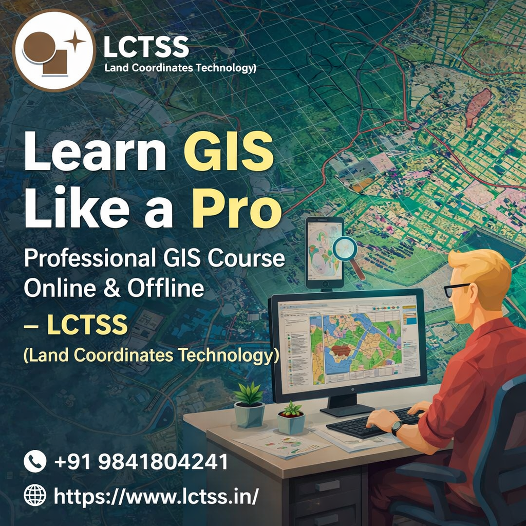
ToggleGeographic Information Systems (GIS) have become a core technology in modern surveying, urban planning, infrastructure development, environmental studies, and geospatial analysis. As industries increasingly rely on spatial data for accurate decision-making, the demand for skilled GIS professionals continues to grow rapidly across India and globally. The Professional GIS Course by LCTSS (Land Coordinates Technology) is designed to help students, surveyors, engineers, and working professionals learn GIS like a pro, through industry-oriented training delivered in both online and offline modes.
At LCTSS, GIS training is not limited to theoretical concepts. The course is structured to provide strong foundational knowledge along with extensive hands-on practical exposure using industry-standard GIS tools and real-world datasets. Learners gain in-depth understanding of spatial data creation, management, analysis, and visualization, enabling them to confidently apply GIS techniques in real project environments. Whether you are a beginner entering the geospatial field or a professional looking to upgrade your skills, this course offers a clear learning pathway to master GIS technology.
The Professional GIS Course at LCTSS covers essential concepts such as spatial data models, coordinate systems, map projections, geodatabases, raster and vector data handling, spatial analysis techniques, and map design principles. Students are trained to work with popular GIS software such as ArcGIS and QGIS, ensuring they gain practical expertise aligned with current industry requirements. Through guided exercises, case studies, and project-based learning, participants develop problem-solving skills that are highly valued in surveying, construction, and planning industries.
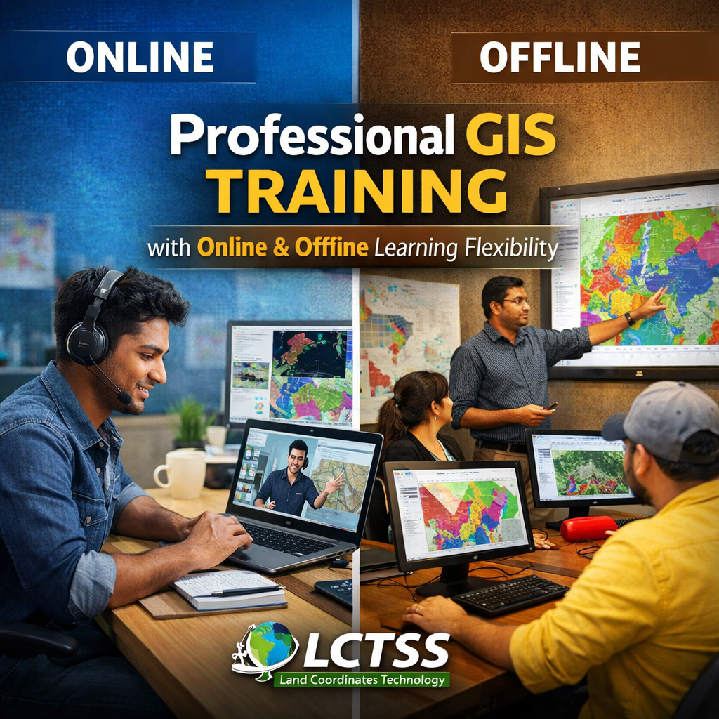
LCTSS understands that learners have different schedules and learning preferences. To accommodate this, the Professional GIS Course is available in both online and offline formats, allowing students to choose the mode that best suits their needs. The offline classroom training provides direct interaction with expert trainers, hands-on lab sessions, and collaborative learning experiences. For learners who prefer remote education or are located outside the training center’s vicinity, the online mode offers live instructor-led sessions, recorded lessons, and interactive assignments without compromising on quality.
The curriculum is designed to be practical and application-driven. Students work on real-world GIS projects related to land surveying, infrastructure mapping, utility mapping, environmental analysis, and urban planning.
This exposure helps learners understand how GIS is applied across multiple domains and prepares them to handle real-time project challenges. By the end of the course, participants gain confidence in managing spatial datasets, performing advanced analysis, and producing professional-quality maps and reports.
Another key strength of LCTSS is its experienced faculty. The trainers are industry professionals with hands-on experience in GIS, land surveying, LiDAR, drone mapping, and geospatial data processing. Their practical insights bridge the gap between academic learning and industry expectations. Students also receive guidance on best practices, data accuracy standards, and workflow optimization, which are critical for professional GIS work.
The course is structured in a step-by-step manner, making it easy for beginners to grasp concepts while still offering advanced modules for experienced professionals. Continuous assessments, assignments, and project reviews ensure learners stay engaged and progress effectively throughout the training period.

LCTSS (Land Coordinates Technology) is a trusted name in surveying and geospatial training, known for delivering skill-based, industry-relevant courses. The Professional GIS Course stands out because it focuses not only on software usage but also on real-world applications and job-oriented skills. Learners gain a clear understanding of how GIS integrates with modern surveying technologies such as Total Station, GNSS, Drone Surveying, LiDAR, and GIS-based mapping solutions.
The course is ideal for land surveyors, civil engineers, urban planners, environmental professionals, GIS aspirants, and students looking to build a strong career in the geospatial domain. Upon completion, participants are equipped to work in roles such as GIS Analyst, GIS Technician, Survey GIS Specialist, Mapping Executive, and Geospatial Data Analyst. The skills gained are applicable across government projects, infrastructure development, smart city initiatives, environmental studies, and private geospatial firms.
LCTSS also emphasizes career readiness. The training includes exposure to industry workflows, data standards, and practical problem-solving techniques used in professional GIS projects. This approach ensures learners are not just certified but are also job-ready. The certification provided by LCTSS adds credibility and value to the learner’s professional profile, helping them stand out in a competitive job market.
In addition to technical training, LCTSS offers guidance on project execution, portfolio development, and career pathways in the GIS field. The institute’s strong industry orientation and practical teaching methodology make it an excellent choice for anyone serious about mastering GIS technology.
By enrolling in the Learn GIS Like a Pro – Professional GIS Course Online & Offline, learners gain more than just knowledge—they gain confidence, practical expertise, and a clear direction for their geospatial career. With flexible learning options, expert trainers, hands-on projects, and industry-aligned curriculum, LCTSS continues to empower professionals and students to succeed in the evolving world of GIS and geospatial technology.