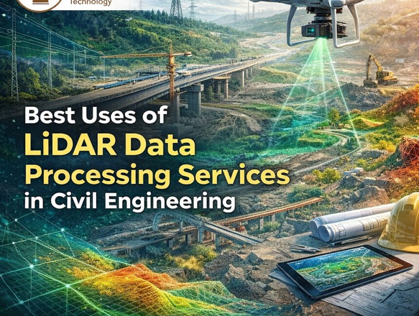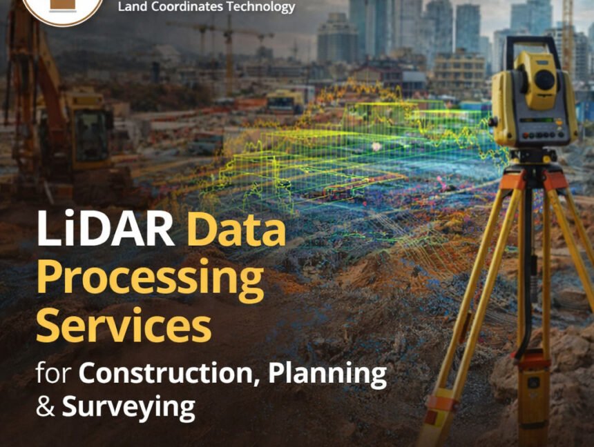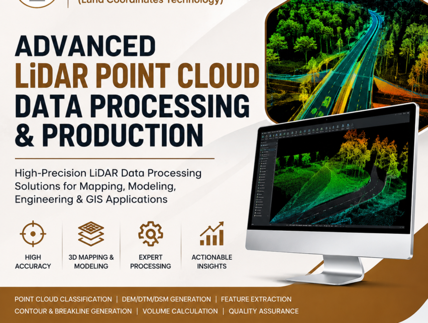
Advanced LiDAR Point Cloud Data Processing & Production
Advanced LiDAR Point Cloud Data Processing & Production In today’s fast-paced infrastructure and geospatial industry, accurate spatial data is essential for planning, engineering, construction, and asset management. Advanced LiDAR Point Cloud Data Processing & Production has become one of the most reliable technologies for capturing highly detailed three-dimensional information about the Earth’s surface. Land Coordinates