


Table of Contents
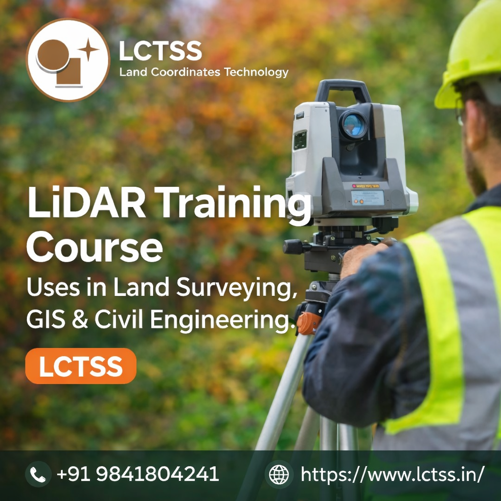
ToggleLiDAR (Light Detection and Ranging) technology has become one of the most transformative tools in the fields of land surveying, GIS, and civil engineering. With the increasing demand for high-accuracy spatial data, faster project execution, and advanced 3D analysis, professionals equipped with LiDAR skills are highly valued across infrastructure, construction, and geospatial industries. A comprehensive LiDAR training course offered by LCTSS (Land Coordinates Technology) helps students and professionals understand not only the theory of LiDAR but also its real-world applications across multiple domains.
LiDAR training courses are designed to bridge the gap between traditional surveying techniques and modern digital mapping technologies. Through structured learning, hands-on practice, and industry-oriented case studies, learners gain the ability to collect, process, analyze, and interpret LiDAR data efficiently. The use of LiDAR is no longer limited to large government projects; it is now widely adopted in private construction, smart city planning, transportation engineering, mining, utilities, and environmental studies.
By enrolling in a LiDAR training course at LCTSS, participants develop the technical confidence required to handle airborne LiDAR, UAV-based LiDAR, mobile LiDAR, and terrestrial laser scanning systems. This knowledge directly enhances their career prospects while enabling them to deliver precise, data-driven outcomes in land surveying, GIS mapping, and civil engineering projects.
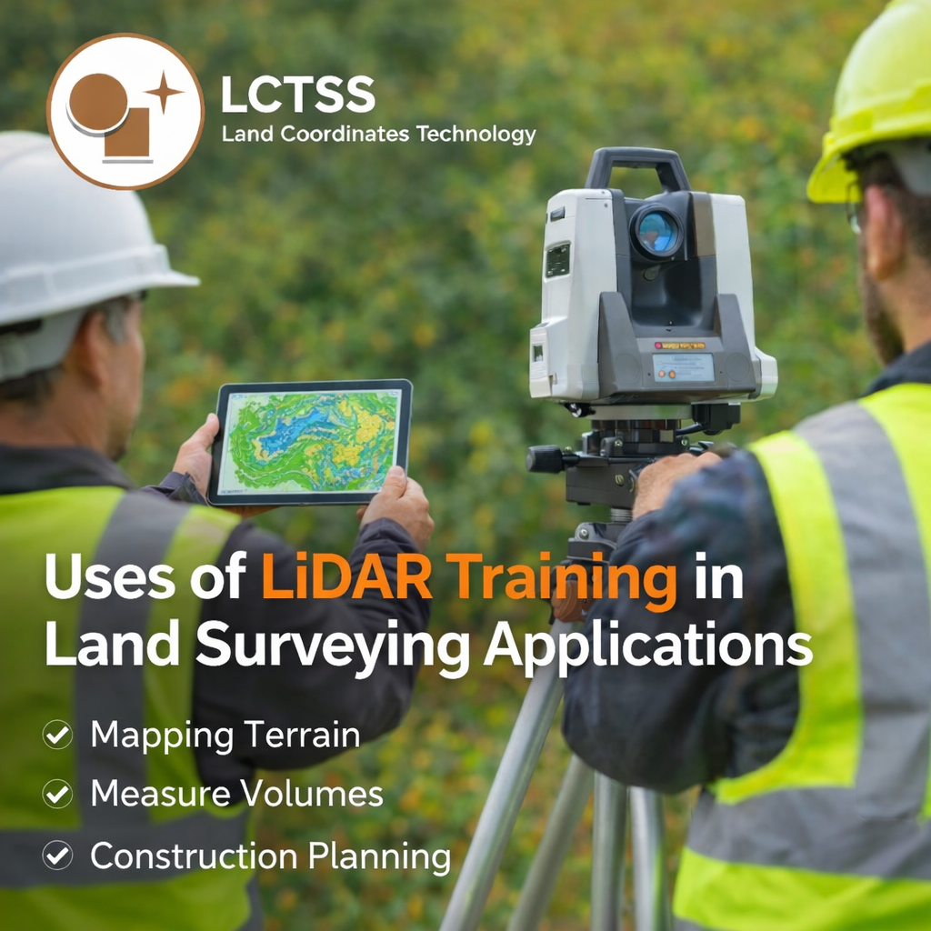
In land surveying, accuracy and efficiency are critical. LiDAR training plays a vital role in modern surveying practices by enabling professionals to capture highly detailed elevation and terrain data even in complex environments. Traditional ground survey methods can be time-consuming and limited by accessibility, whereas LiDAR allows surveyors to collect millions of data points within a short time span.
A LiDAR training course equips surveyors with the skills to perform topographic surveys, contour mapping, and digital elevation model (DEM) generation with unmatched precision. Surveyors trained in LiDAR can easily map large areas, dense vegetation, hilly terrain, and inaccessible locations without compromising accuracy. This capability is especially valuable for highway projects, rail corridors, pipeline routes, and large land development works.
Another important use of LiDAR training in land surveying is boundary and cadastral support. While LiDAR does not replace legal boundary determination, it significantly enhances base mapping accuracy and supports survey planning. Trained professionals can integrate LiDAR datasets with total station and GNSS data to produce comprehensive survey outputs.
LiDAR training also enables surveyors to perform volume calculations for earthwork estimation, quarry surveys, and stockpile measurement. These applications are crucial for construction planning, cost estimation, and progress monitoring. At LCTSS, learners are trained using industry-standard software and real project datasets, ensuring they are job-ready and capable of meeting professional survey requirements.
LiDAR has become a cornerstone technology in Geographic Information Systems (GIS). A LiDAR training course helps GIS professionals understand how raw point cloud data can be transformed into meaningful spatial information for analysis, planning, and decision-making. Through LiDAR training at LCTSS, learners gain hands-on experience in point cloud classification, filtering, and feature extraction.
One of the major uses of LiDAR training in GIS is terrain modeling. Accurate digital terrain models (DTM) and digital surface models (DSM) are essential for hydrological analysis, flood modeling, watershed management, and environmental impact assessments. LiDAR-trained GIS professionals can generate these models with high resolution, enabling precise simulations and risk analysis.
LiDAR training is also widely used in urban GIS applications. Trained professionals can extract building footprints, road networks, utility corridors, and vegetation layers from LiDAR data. This information supports smart city initiatives, urban planning, zoning analysis, and infrastructure asset management. GIS experts with LiDAR skills are increasingly involved in city mapping projects that require 3D visualization and spatial accuracy.
Another significant use of LiDAR training in GIS is environmental and forestry analysis. LiDAR data helps estimate tree height, canopy density, biomass, and land cover changes. GIS professionals trained at LCTSS can apply these techniques in environmental monitoring, climate studies, and natural resource management projects.
LiDAR training also enhances GIS integration with remote sensing data such as satellite imagery and photogrammetry. This multi-source data fusion improves mapping accuracy and provides deeper spatial insights. LCTSS ensures learners gain practical exposure to such integrated workflows, making them highly competitive in the GIS job market.
Civil engineering projects demand precise planning, accurate measurements, and efficient execution. LiDAR training courses are extremely valuable for civil engineers involved in infrastructure development, construction management, and design engineering. LiDAR-trained engineers can analyze terrain conditions before project initiation, reducing design errors and unexpected site challenges.
One of the primary uses of LiDAR training in civil engineering is route alignment and corridor mapping. For roads, highways, railways, canals, and transmission lines, LiDAR provides detailed longitudinal and cross-sectional profiles. Engineers trained in LiDAR can optimize alignments, reduce earthwork costs, and improve safety and design efficiency.
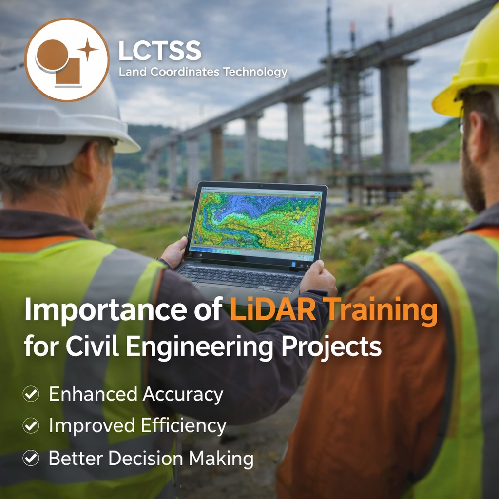
LiDAR training is also widely applied in construction planning and monitoring. Engineers can use LiDAR data to track construction progress, calculate cut-and-fill volumes, and compare as-built conditions with design models. This data-driven approach improves project control, minimizes disputes, and enhances overall project quality.
In urban infrastructure projects, LiDAR training enables civil engineers to work with 3D city models. These models support drainage planning, utility design, traffic management, and smart infrastructure development. Engineers trained at LCTSS learn how to interpret LiDAR data for real-world engineering decisions, not just theoretical analysis.
LiDAR training is equally important for structural assessment and rehabilitation projects. Mobile and terrestrial LiDAR systems help engineers inspect bridges, buildings, and industrial structures safely and efficiently. Engineers with LiDAR expertise can identify deformations, clearances, and structural conditions without extensive manual inspections.
LCTSS (Land Coordinates Technology) is a trusted name in geospatial and surveying education, offering industry-focused LiDAR training courses tailored to current market demands. The training programs are designed for surveyors, GIS professionals, civil engineers, students, and working professionals seeking to upgrade their technical skills.
At LCTSS, LiDAR training emphasizes practical learning through real project datasets, modern equipment exposure, and hands-on software training. Learners gain experience in data acquisition methods, point cloud processing, classification, modeling, and final output generation. This practical approach ensures participants are not only certified but also confident in applying LiDAR technology in real projects.
The LiDAR training courses at LCTSS are aligned with industry standards and emerging trends, including UAV LiDAR, mobile mapping, and 3D GIS integration. With expert trainers and a career-oriented curriculum, LCTSS helps learners build strong technical foundations and opens doors to opportunities in surveying firms, GIS companies, construction industries, and government projects.
The uses of a LiDAR training course in land surveying, GIS, and civil engineering are vast and continually expanding. As infrastructure projects become more complex and data-driven, LiDAR skills are no longer optional—they are essential. By choosing a professional LiDAR training course from LCTSS (Land Coordinates Technology), learners gain the expertise required to meet modern industry challenges, improve project accuracy, and advance their careers in the geospatial and engineering sectors.