


Table of Contents
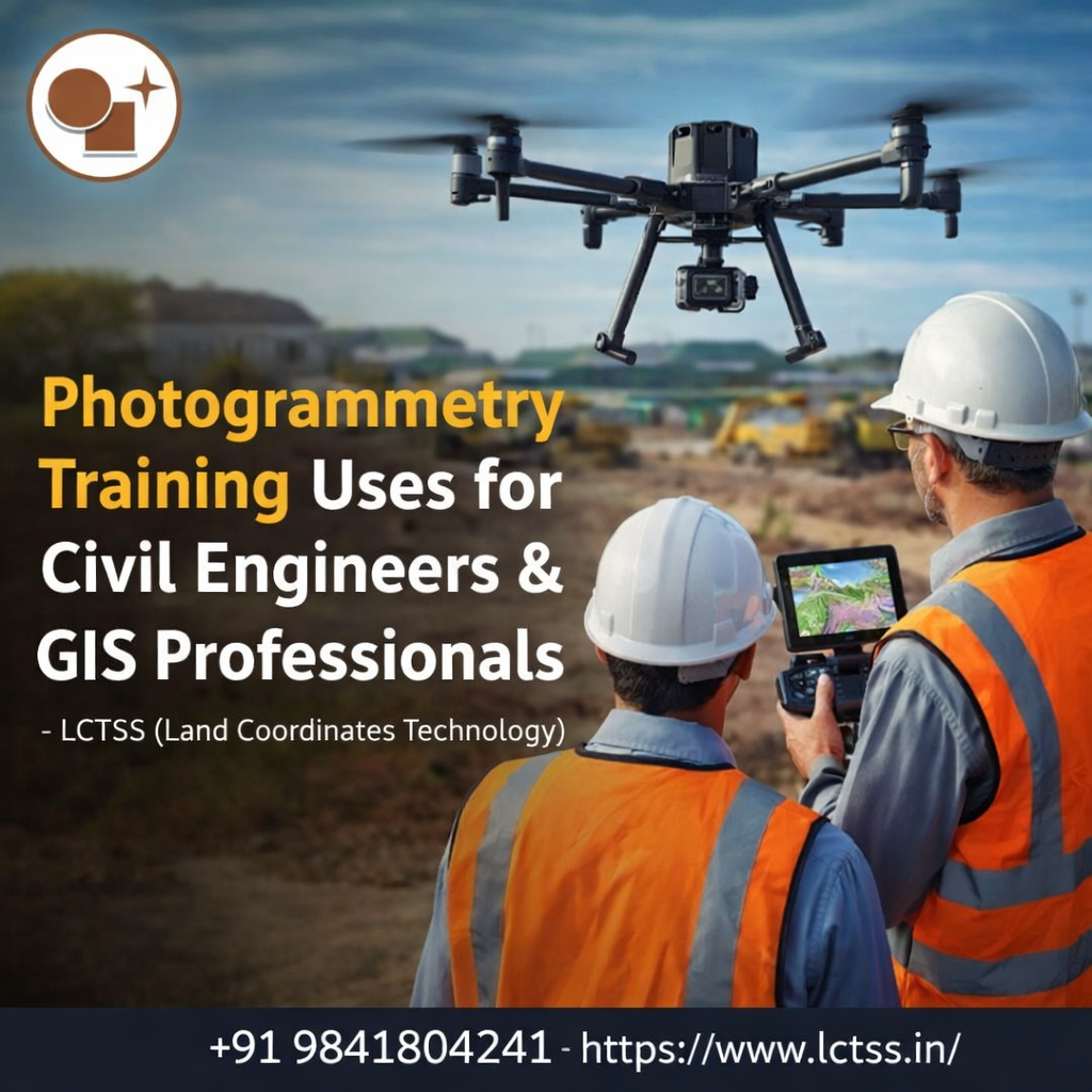
TogglePhotogrammetry training has become an essential skill set for civil engineers and GIS professionals as infrastructure development, smart city planning, and geospatial data accuracy continue to evolve rapidly. At LCTSS (Land Coordinates Technology), photogrammetry training is designed to bridge the gap between traditional surveying methods and modern digital mapping technologies. By learning how to extract precise measurements, elevations, and spatial data from aerial and ground-based imagery, professionals gain the ability to work faster, safer, and more accurately across a wide range of engineering and geospatial applications.
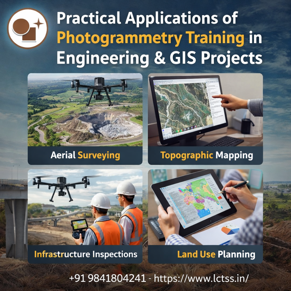
For civil engineers, photogrammetry training is widely used in planning, design, construction, and monitoring of infrastructure projects. High-resolution drone imagery processed through photogrammetric software allows engineers to generate accurate orthomosaics, digital elevation models (DEM), and digital surface models (DSM). These outputs are critical for site analysis, earthwork calculations, road alignment planning, drainage design, and volume estimation. Compared to conventional surveying, photogrammetry reduces field time while delivering reliable data even in large or inaccessible project areas. Through structured training at LCTSS, civil engineers learn how to integrate photogrammetric outputs directly into CAD, BIM, and civil design workflows.
GIS professionals benefit significantly from photogrammetry training as it enhances their ability to create, analyze, and manage spatial datasets with higher precision. Photogrammetry-derived products such as georeferenced maps, 3D models, and point clouds serve as valuable inputs for GIS platforms. These datasets are widely used in land-use planning, utility mapping, environmental analysis, disaster management, and urban development projects. At LCTSS, photogrammetry training focuses on real-world GIS integration, enabling professionals to seamlessly combine aerial imagery with vector data, satellite data, and attribute information for advanced spatial analysis.
One of the key uses of photogrammetry training for civil engineers is topographic and land surveying. Accurate terrain representation is fundamental for infrastructure projects such as highways, railways, bridges, canals, and industrial layouts. Photogrammetry enables engineers to generate contour maps and elevation profiles quickly, even for large-scale projects. Training at LCTSS emphasizes accuracy standards, ground control point (GCP) usage, and quality assurance methods, ensuring that survey outputs meet engineering and regulatory requirements.
In construction monitoring and progress tracking, photogrammetry training plays a crucial role. Civil engineers can use time-series aerial data to monitor construction stages, verify work quantities, and detect deviations from design plans. This is particularly useful for large construction sites where manual measurement is time-consuming and prone to error.
By learning photogrammetry techniques at LCTSS, professionals gain the ability to produce visual progress reports, 3D site models, and volumetric comparisons that support better decision-making and project control.
For GIS professionals, photogrammetry training is extensively used in urban planning and smart city projects. High-resolution orthophotos and 3D city models generated through photogrammetry help planners analyze building footprints, road networks, green spaces, and infrastructure density. These datasets are essential for zoning analysis, infrastructure expansion planning, and population impact studies. LCTSS training programs focus on producing GIS-ready outputs that align with government and private-sector project requirements across India.
Photogrammetry training is also widely applied in environmental and natural resource management. GIS professionals trained at LCTSS learn how to use photogrammetric data for watershed analysis, flood modeling, forest mapping, coastal monitoring, and erosion studies. Accurate surface models derived from photogrammetry allow for detailed environmental assessments and long-term monitoring, supporting sustainable development goals and regulatory compliance.

At LCTSS (Land Coordinates Technology), photogrammetry training is structured to meet the practical needs of civil engineers and GIS professionals working in real project environments. The training covers the complete workflow, including data acquisition using drones and cameras, mission planning, ground control setup, image processing, accuracy assessment, and final data export. Emphasis is placed on industry-standard software tools and best practices followed in surveying, construction, and geospatial projects.
The training programs are designed to support professionals involved in land development, infrastructure design, utility mapping, mining, and transportation projects. Civil engineers gain hands-on experience in converting photogrammetric data into actionable engineering outputs, while GIS professionals learn how to manage and analyze large spatial datasets efficiently.
LCTSS ensures that trainees understand coordinate systems, projections, and data interoperability, which are critical for multi-disciplinary project execution.
Another major advantage of photogrammetry training at LCTSS is its career-oriented approach. As demand for drone surveying, 3D mapping, and geospatial analysis continues to grow, professionals with photogrammetry expertise are highly valued by engineering firms, GIS consultancies, government agencies, and infrastructure companies. The training helps participants upgrade their technical skills, improve project efficiency, and expand their career opportunities in the geospatial and civil engineering domains.
In today’s data-driven infrastructure landscape, photogrammetry training is no longer optional for civil engineers and GIS professionals—it is a necessity. By choosing LCTSS (Land Coordinates Technology), professionals gain practical knowledge, industry exposure, and technical confidence to apply photogrammetry effectively across surveying, mapping, construction, and GIS projects. This training empowers them to deliver accurate results, reduce project risks, and stay competitive in a rapidly evolving geospatial industry.