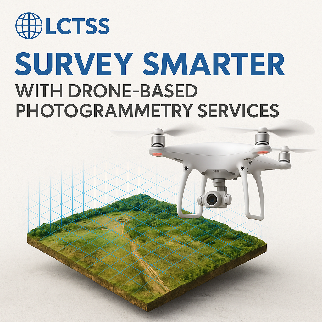


In the evolving landscape of land surveying and geospatial mapping, Drone-Based Photogrammetry has emerged as a game-changing solution. Combining high-resolution imaging with powerful geospatial software, photogrammetry provides precise 2D and 3D maps for a wide range of industries, including civil engineering, agriculture, urban planning, and environmental monitoring.
At Lctss (Land Coordinates Technology), we are pioneers in leveraging drone technology to deliver smart, efficient, and highly accurate photogrammetry services tailored to the unique needs of clients across India. Whether it’s large-scale land development or micro-level terrain analysis, our drone-based approach redefines what’s possible in land surveying.
Table of Contents
ToggleDrone-Based Photogrammetry is the process of capturing aerial images using drones equipped with high-resolution cameras, and then processing those images using specialized software to generate accurate spatial data such as:
Orthomosaic maps
Digital Elevation Models (DEM)
Digital Terrain Models (DTM)
3D point clouds
Contour maps
This method offers significant advantages over traditional surveying, especially in terms of speed, cost, and data richness.
The traditional method of land surveying is often labor-intensive, time-consuming, and less scalable. Drone photogrammetry, by contrast, offers:
Rapid Data Collection: Cover large areas in less time with minimal fieldwork.
Cost-Effective: Fewer field personnel and faster project delivery reduce total costs.
High Accuracy: Sub-centimeter level precision with post-processing.
Comprehensive Output: Generate multiple data layers—2D maps, 3D models, contour lines, and more—from a single flight.
Safe Access: Survey hard-to-reach or hazardous areas without physical access.
Our services are tailored to cater to a wide array of sectors:
Site planning, grading analysis, and infrastructure layout mapping
Volume calculations for excavation and earthworks
Crop health monitoring using multispectral data
Precision farming applications like irrigation management
Detailed terrain models for city planning
Monitoring construction progress and infrastructure updates
Stockpile volume estimation
Terrain monitoring and safety assessment
River basin mapping and watershed analysis
Forest and biodiversity monitoring
Rapid terrain mapping after floods or landslides
Damage assessment for insurance and government reports
We define ground control points (GCPs), flight paths, and altitude to ensure complete coverage and optimal image resolution.
Using professional-grade UAVs, our team captures hundreds or thousands of geo-tagged images with overlapping accuracy.
Images are stitched together and processed using software such as Pix4D, Agisoft Metashape, or DroneDeploy to generate orthomosaics, 3D models, and elevation maps.
Clients receive high-resolution maps, CAD-compatible models, and actionable insights tailored to their project’s requirements.
At Lctss, we go beyond simply capturing drone data. Here’s what sets us apart:
Certified UAV Pilots & Survey Engineers
Use of RTK/PPK drones for higher accuracy
Custom reports and GIS integration
Fast turnaround and scalable solutions
Coverage across Tamil Nadu, Kerala, Karnataka, and PAN India
We focus on accuracy, reliability, and client satisfaction—delivering cutting-edge geospatial insights with maximum efficiency.

 Real-World Case Studies
 Infrastructure Development in Tamil Nadu
Lctss supported a large real estate developer in Tamil Nadu with 3D terrain modeling for their site grading plan. With drone photogrammetry, we reduced their field survey time from 3 weeks to just 2 days, delivering high-resolution topographic data within 72 hours.
 Highway Expansion in Kerala
For a major NHAI highway expansion project, our drone survey helped identify elevation changes, cut-fill volumes, and environmental impact zones, contributing to more accurate project planning and budgeting.
 Deliverables You Can Expect
When you choose Lctss for drone-based photogrammetry, here’s what you receive:
Orthomosaic image (GeoTIFF, JPEG, KMZ)
DSM & DTM models (GeoTIFF)
Point clouds (.LAS, .XYZ)
Contour lines (DWG, DXF)
3D mesh models
Custom analytics and CAD/GIS-ready files
 Industries We Serve
Real Estate & Construction
Agriculture & Forestry
Energy & Utilities
Transportation & Logistics
Environmental Agencies
Mining & Exploration
 Partner with Lctss for Your Next Survey Project
Whether you’re a construction firm, government agency, or private landowner, Lctss offers drone photogrammetry services that deliver results faster, safer, and with unparalleled accuracy. Let’s take your land survey to new heights—literally and figuratively.


 Frequently Asked Questions (FAQs)
With RTK/PPK-equipped drones, horizontal accuracy can be up to 2 cm, and vertical accuracy up to 5 cm, depending on GCP integration.
Yes. Lctss operates with DGCA-approved UAVs and licensed drone pilots, ensuring compliance with Indian drone regulations.
Our drones can map up to 10–20 square kilometers per day, depending on terrain and project needs.
We use a mix of multi-rotor and fixed-wing drones, including RTK/PPK-enabled UAVs for enhanced accuracy.
Absolutely. We deliver AutoCAD-compatible formats (DWG, DXF) and GIS-ready shapefiles or GeoTIFFs.
Depending on the project size, we typically deliver within 2–5 business days.
No, but client presence is welcome. Our team handles all planning, flight, and data processing.
Yes, though it requires airspace permission. We handle the necessary clearances for city-based projects.
Photogrammetry uses images to create 3D models, while LiDAR uses laser pulses. Lctss offers both services based on project needs.
Simply contact us via our website or phone. Our team will guide you through the project scoping, costing, and timeline.
 Conclusion
Survey smarter. Build faster. Plan better. With Lctss’s Drone-Based Photogrammetry Services, you gain a competitive edge through high-resolution, geo-referenced data that transforms the way you manage land and construction projects.
Ready to elevate your land surveying process?
Get in touch with Lctss (Land Coordinates Technology) today.


