


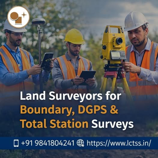
Accurate land surveying is the foundation of every successful construction, infrastructure, and land development project. At LCTSS (Land Coordinates Technology), we provide professional Land Surveyors for Boundary, DGPS & Total Station Surveys, delivering precise, reliable, and legally compliant survey solutions across Tamil Nadu, Kerala, Karnataka, and other regions in India.
With advanced technology, experienced surveyors, and a commitment to quality, LCTSS ensures that your project begins with the right data, the right measurements, and complete confidence.
Table of Contents
ToggleLCTSS is a trusted name in land surveying, geospatial services, and civil engineering solutions. Our team consists of highly skilled land surveyors, GIS experts, and civil engineers who combine technical expertise with modern surveying instruments to deliver accurate and cost-effective results.
We cater to:
Real estate developers
Infrastructure & road projects
Industrial & commercial developments
Government & private landowners
Architects, engineers, and contractors
Land surveying plays a critical role in:
Establishing legal land boundaries
Avoiding property disputes
Planning construction layouts accurately
Ensuring compliance with government regulations
Supporting design, estimation, and execution
Using advanced techniques like DGPS surveys and Total Station surveys, LCTSS provides highly accurate spatial data essential for modern projects.
A boundary survey determines the exact legal boundaries of a property by identifying corner points, property lines, and encroachments based on revenue records and field measurements.
Study of legal documents (Patta, FMB, Title Deed)
Ground verification and control point establishment
Precise field measurements
Boundary demarcation with stones or markers
Preparation of boundary survey maps and reports
Clear identification of property limits
Prevention of legal disputes
Essential for land registration and sale
Required for construction approvals
LCTSS ensures all boundary surveys meet statutory and local authority requirements.
DGPS (Differential Global Positioning System) surveying provides centimeter-level accuracy using satellite-based positioning corrected by reference stations.
Large land parcel mapping
Infrastructure and highway projects
Government land surveys
Utility and corridor mapping
Coastal and river alignment surveys
High accuracy over large areas
Faster data collection
Ideal for remote and open terrains
Reliable geo-referencing
LCTSS uses advanced DGPS equipment to deliver accurate coordinates aligned with national and international standards.
A Total Station survey uses electronic distance measurement and angular measurement to collect highly precise data for detailed land and construction surveys.
Topographic surveys
Construction layout and setting out
Road and drainage surveys
Plot division and layout planning
As-built surveys
High precision and reliability
Ideal for urban and congested sites
Supports detailed design and execution
Accurate elevation and contour data
At LCTSS, our skilled surveyors ensure error-free data capture and professional reporting.
✅ Experienced and certified land surveyors
✅ Advanced DGPS & Total Station equipment
✅ Accurate, reliable, and timely delivery
✅ Compliance with local and statutory norms
✅ Customized survey solutions
✅ Competitive pricing
✅ Excellent client support
Our commitment to accuracy and professionalism makes us a preferred surveying partner for diverse projects.
Real Estate & Housing Projects
Roads, Highways & Railways
Industrial & SEZ Developments
Renewable Energy Projects
Smart City & Urban Planning
Government & Public Sector Projects
Survey drawings (CAD & GIS formats)
Boundary demarcation plans
Coordinate and control point reports
Contour and topographic maps
Final survey reports for approvals
Mr. R. Kannan – Real Estate Developer
“LCTSS provided extremely accurate boundary and DGPS survey data for our large residential project. Their professionalism and timely delivery were impressive.”
Ms. Anitha S – Civil Engineer
“The Total Station survey conducted by LCTSS helped us execute our construction layout with zero errors. Highly reliable team.”
Mr. Prakash M – Infrastructure Contractor
“We have worked with LCTSS on multiple road projects. Their DGPS surveys are precise and fully compliant with government standards.”
Boundary surveys define legal property limits, DGPS surveys provide high-accuracy coordinates over large areas, and Total Station surveys are ideal for detailed site and construction measurements.
DGPS surveys are best suited for large land parcels due to their high accuracy and efficiency.
Yes, our survey reports are prepared following statutory guidelines and are suitable for approvals and legal purposes.
The duration depends on land size, terrain, and survey type. Small plots may take 1–2 days, while large projects may take longer.
Yes, LCTSS provides boundary demarcation and stone fixing as part of boundary survey services.
Yes, we deliver survey drawings in AutoCAD, GIS, and PDF formats as required.
Yes, LCTSS undertakes both government and private land surveying projects.
Both are highly accurate. DGPS is ideal for large areas, while Total Station offers superior precision for localized and construction surveys.
Yes, we provide construction layout and ongoing survey support as needed.
You can contact LCTSS through our website or call +91 9841804241 to discuss your project requirements.
If you are looking for reliable Land Surveyors for Boundary, DGPS & Total Station Surveys, LCTSS (Land Coordinates Technology) is your trusted partner. Get accurate data, professional service, and peace of mind for your land and construction projects.
📞 Call Us: +91 9841804241
🌐 Website: https://www.lctss.in
LCTSS – Precision in Every Coordinate.