


Table of Contents
ToggleIn today’s rapidly evolving civil engineering landscape, accuracy, speed, and data reliability are critical to the success of infrastructure projects. From highways and bridges to smart cities and industrial developments, engineers need highly detailed spatial data to plan, design, and execute projects efficiently. This is where LiDAR Scanning & 3D Laser Mapping Services for Civil Engineering play a transformative role.
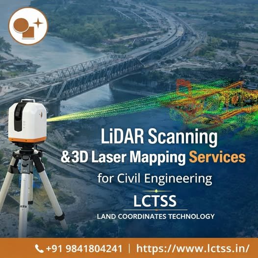
At LCTSS (Land Coordinates Technology), we deliver advanced LiDAR scanning and 3D laser mapping solutions that empower civil engineers, planners, and construction professionals with high-resolution, survey-grade data. Our services help minimize errors, reduce project risks, and optimize decision-making at every stage of development.
LiDAR (Light Detection and Ranging) is a remote sensing technology that uses laser pulses to measure distances between the sensor and the Earth’s surface or structures. By emitting thousands of laser points per second and capturing their reflections, LiDAR creates an extremely accurate 3D point cloud representing terrain, buildings, roads, utilities, and vegetation.
3D Laser Mapping converts this raw LiDAR data into detailed digital models such as:
Digital Elevation Models (DEM)
Digital Terrain Models (DTM)
Digital Surface Models (DSM)
3D CAD & BIM-ready datasets
For civil engineering projects, these outputs are invaluable for design validation, volume calculations, alignment planning, and construction monitoring.
Traditional surveying methods can be time-consuming, labor-intensive, and limited in complex or large-scale environments. LiDAR scanning overcomes these challenges by offering:
LiDAR delivers centimeter-level accuracy, even across vast or inaccessible areas, ensuring dependable survey results.
Large corridors, urban zones, and infrastructure sites can be surveyed in a fraction of the time compared to conventional methods.
Engineers gain a complete 3D view of the project site, enabling better planning and clash detection.
Remote data capture minimizes the need for surveyors to work in hazardous environments such as highways, railways, or construction zones.
Accurate upfront data reduces rework, delays, and design errors, resulting in significant cost savings.
At LCTSS (Land Coordinates Technology), we provide end-to-end LiDAR and laser mapping solutions tailored specifically for civil engineering applications.
Using UAVs (drones) and aerial platforms, we capture high-density point clouds for:
Road and highway projects
Large infrastructure corridors
Urban and rural land development
Ground-based laser scanning for:
Bridges, flyovers, and tunnels
Industrial plants and buildings
Structural deformation analysis
Vehicle-mounted LiDAR systems ideal for:
Road asset mapping
Pavement analysis
Railway and utility corridors
We process LiDAR data into:
3D topographic maps
CAD-ready drawings
BIM-compatible models
Cross-sections, contours, and profiles
LCTSS LiDAR solutions support a wide range of civil engineering projects:
Highways, expressways, and bridges
Metro rail and railway alignments
Airports and ports
City-scale 3D modeling
Utility mapping and drainage planning
Land-use analysis
As-built documentation
Deformation monitoring
Retrofitting and renovation planning
Cut-and-fill analysis
Stockpile volume estimation
Quarry and mining surveys
Watershed modeling
Floodplain mapping
Terrain analysis
LCTSS is a trusted name in land surveying, LiDAR services, GIS mapping, and civil engineering survey solutions across India.
Our team consists of skilled surveyors, GIS experts, and LiDAR data analysts with deep industry knowledge.
We use state-of-the-art LiDAR sensors, UAV platforms, and processing software to ensure the highest data quality.
Every civil engineering project is unique. We tailor our LiDAR scanning approach to match your project scope, terrain, and deliverables.
All datasets undergo rigorous quality checks to meet engineering and regulatory standards.
We understand project deadlines and ensure fast turnaround without compromising accuracy.
LCTSS provides comprehensive data processing services, including:
Classified point clouds
Contour maps (0.5m / 1m intervals)
Digital Elevation & Terrain Models
Longitudinal and cross-sections
3D surface models
CAD, GIS, and BIM-compatible formats
These deliverables seamlessly integrate into civil engineering workflows, supporting planning, design, and execution.
Civil Engineering & Construction
Infrastructure Development Companies
Government & Urban Local Bodies
Real Estate Developers
Mining & Quarrying Firms
Engineering Consultants
⭐⭐⭐⭐⭐
“LCTSS provided highly accurate LiDAR data for our highway expansion project. Their 3D models significantly reduced our design errors and saved time.”
— Senior Project Engineer, Infrastructure Firm
⭐⭐⭐⭐⭐
“The LiDAR scanning and laser mapping services from LCTSS helped us visualize complex terrain with unmatched clarity. Excellent technical support and timely delivery.”
— Civil Engineering Consultant, Chennai
⭐⭐⭐⭐⭐
“We partnered with LCTSS for mobile LiDAR mapping of urban roads. The accuracy and data quality exceeded our expectations.”
— Urban Planning Manager
⭐⭐⭐⭐⭐
“Professional team, advanced technology, and precise outputs. LCTSS is our go-to partner for LiDAR-based civil engineering surveys.”
— Construction Project Manager
LiDAR scanning uses laser technology to capture accurate 3D data of terrain and structures, supporting planning, design, and construction activities.
LiDAR surveys can achieve centimeter-level accuracy, depending on the platform and project requirements.
LiDAR complements traditional surveys by covering large and complex areas faster, while ground surveys may still be used for control points.
We deliver data in CAD, GIS, BIM, and standard point cloud formats as per client needs.
Yes, LiDAR is ideal for urban infrastructure, smart city planning, and utility mapping.
Data capture is fast, often completed in days, while processing time depends on project size and deliverables.
Yes, we provide UAV-based LiDAR surveys for high-resolution and cost-effective data collection.
Absolutely. LiDAR is widely used for cut-fill analysis and stockpile volume estimation.
Yes, LiDAR can penetrate vegetation to capture ground elevations accurately.
LCTSS combines expertise, advanced technology, and reliable delivery, making us a trusted LiDAR partner for civil engineering projects.
If you’re looking for LiDAR Scanning & 3D Laser Mapping Services for Civil Engineering, LCTSS (Land Coordinates Technology) is your reliable partner. Our solutions help you build smarter, faster, and with greater confidence.
📞 Call us today to discuss your project requirements
🌐 Visit: https://www.lctss.in