


Table of Contents
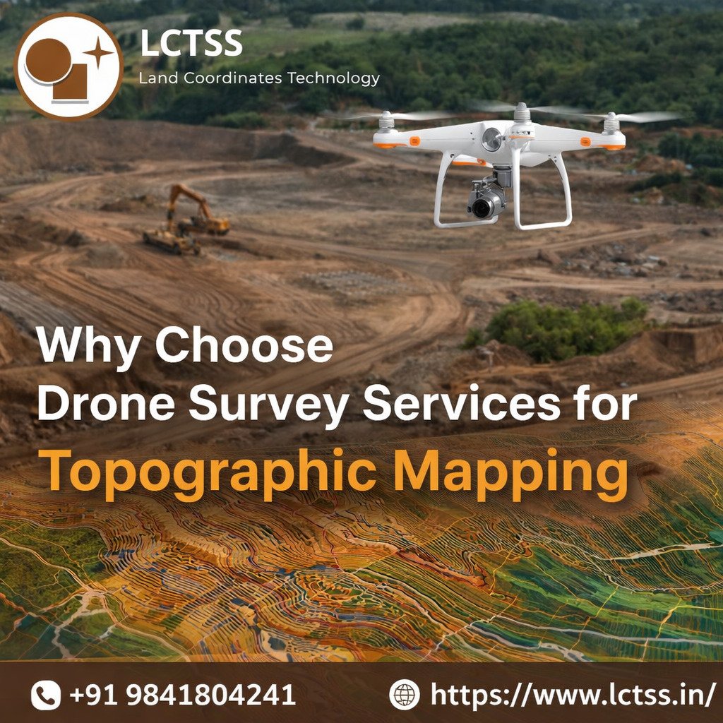
ToggleIn today’s fast-evolving infrastructure and construction landscape, accuracy, speed, and cost-efficiency are essential for successful project execution. Traditional land surveying methods, while reliable, often involve time-consuming processes and limitations in accessing challenging terrains. This is where drone survey services have revolutionized the field, especially in topographic mapping. At Lctss (Land Coordinates Technology), advanced UAV/drone technology is transforming how topographic data is captured, analyzed, and utilized across various industries.
One of the most compelling reasons to choose drone survey services for topographic mapping is the exceptional level of accuracy they provide. Lctss (Land Coordinates Technology) uses state-of-the-art UAV systems equipped with high-resolution cameras and sensors to capture detailed aerial data. These drones can generate precise digital elevation models (DEMs), contour maps, and 3D terrain models with minimal margin of error.
Unlike traditional methods that rely on manual measurements, drone surveys use automated flight paths and GPS-based positioning systems to ensure consistent and reliable data collection. This high level of precision is crucial for engineering, construction planning, and land development projects where even minor inaccuracies can lead to significant issues later. With Lctss, clients can be confident in receiving accurate and dependable topographic data tailored to their project requirements.
Time is a critical factor in any project, and delays in surveying can impact the overall timeline. Drone survey services significantly reduce the time required for topographic mapping. What once took days or even weeks using conventional surveying methods can now be completed within hours using UAV technology.
Lctss (Land Coordinates Technology) leverages efficient drone workflows to deliver faster results without compromising quality. Rapid data collection and processing enable clients to make quicker decisions, streamline project planning, and avoid costly delays. Additionally, drone surveys reduce the need for large field crews and heavy equipment, making them a more cost-effective solution for both small-scale and large-scale projects.
By minimizing labor costs and increasing productivity, Lctss ensures that clients receive maximum value for their investment. This combination of speed and affordability makes drone survey services an ideal choice for modern topographic mapping needs.
Topographic mapping often involves surveying areas that are difficult, unsafe, or even impossible to access using traditional methods. Steep slopes, dense vegetation, water bodies, and construction zones can pose significant challenges for surveyors. Drone technology eliminates these limitations by enabling aerial data collection from virtually any location.
Lctss (Land Coordinates Technology) utilizes advanced UAV systems capable of navigating complex terrains with ease. Drones can fly over obstacles, capture data from multiple angles, and provide comprehensive coverage of the entire area. This not only enhances safety by reducing the need for surveyors to enter hazardous environments but also ensures that no critical data is missed.
Whether it’s a remote land parcel, a mining site, or a large infrastructure project, Lctss delivers reliable topographic mapping solutions even in the most challenging conditions.
Another significant advantage of drone survey services is the ability to generate detailed visual outputs that improve understanding and decision-making. Lctss (Land Coordinates Technology) provides high-quality orthomosaic images, 3D models, and contour maps that offer a clear and comprehensive view of the terrain.
These visual representations allow engineers, architects, and project managers to analyze the landscape more effectively, identify potential challenges, and plan accordingly. With accurate topographic data and advanced visualization tools, clients can make informed decisions that enhance project efficiency and reduce risks.
Furthermore, drone-generated data can be easily integrated with GIS and CAD software, enabling seamless collaboration and data sharing among project stakeholders. This level of integration ensures that all teams work with consistent and up-to-date information throughout the project lifecycle.
Choosing drone survey services for topographic mapping is a smart and forward-thinking decision in today’s technology-driven world. With benefits such as high accuracy, faster turnaround times, cost efficiency, and the ability to access challenging terrains, UAV technology has become an essential tool for modern surveying.
Lctss (Land Coordinates Technology) stands at the forefront of this innovation, offering reliable and advanced drone survey solutions tailored to diverse industry needs. By combining cutting-edge technology with expert knowledge, Lctss ensures that every project is supported with precise and actionable topographic data.
For businesses looking to enhance their surveying processes and achieve better project outcomes, drone survey services from Lctss provide the perfect solution.