


Table of Contents
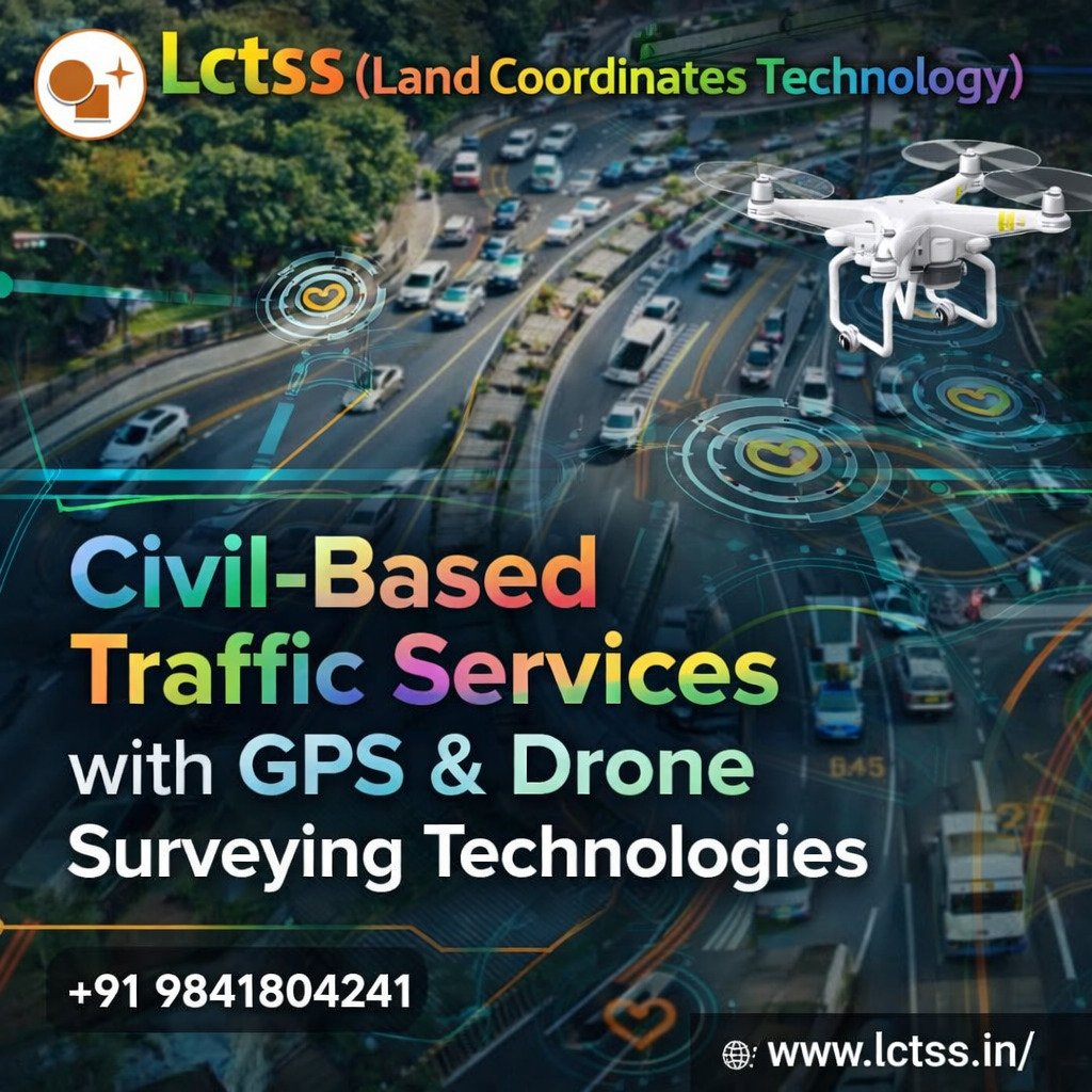
ToggleIn today’s rapidly growing urban and infrastructure landscape, efficient traffic planning and management have become essential for sustainable development. Civil-based traffic services powered by advanced GPS and drone surveying technologies are transforming how transportation systems are designed, monitored, and optimized. Land Coordinates Technology (Lctss) stands at the forefront of this transformation, offering innovative solutions that combine precision engineering with cutting-edge geospatial tools. By integrating real-time data collection, accurate mapping, and intelligent analysis, Lctss ensures that traffic systems are safer, more efficient, and future-ready.
Traffic congestion, road safety concerns, and urban expansion demand a scientific and data-driven approach to civil traffic management. Traditional survey methods often lack the speed and accuracy required for modern infrastructure projects. Lctss addresses these challenges by utilizing high-precision GPS systems and drone-based aerial surveys to capture detailed spatial data. These technologies enable engineers and planners to understand traffic flow patterns, identify bottlenecks, and design better road networks with minimal errors. The result is improved mobility, reduced travel time, and enhanced safety for commuters.
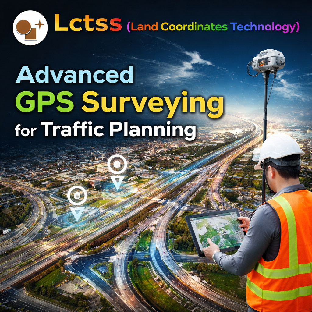
GPS surveying plays a crucial role in civil-based traffic services by providing accurate positioning data for road networks, intersections, and transportation corridors. Lctss uses advanced GPS equipment to collect geospatial data with high accuracy, ensuring precise mapping and alignment of roads and highways. This technology is especially beneficial in large-scale infrastructure projects where even minor inaccuracies can lead to significant issues in design and execution.
With GPS-based surveys, Lctss can efficiently map existing road conditions, analyze elevation profiles, and determine optimal routes for new developments. This data helps in planning traffic signals, lane expansions, and road diversions with greater confidence. Additionally, GPS technology supports real-time data collection, allowing engineers to make quick decisions during project execution. By leveraging these capabilities, Lctss enhances the overall efficiency and reliability of civil traffic projects.

Drone surveying has revolutionized the way traffic data is collected and analyzed. Lctss utilizes advanced UAV (Unmanned Aerial Vehicle) technology to capture high-resolution aerial imagery and videos of traffic conditions. These drones can cover large areas in a short time, providing comprehensive insights into traffic patterns, congestion points, and road usage.
The use of drones allows Lctss to conduct real-time traffic monitoring without disrupting ongoing transportation activities. This is particularly useful in busy urban areas where traditional survey methods may cause delays or safety concerns. The aerial perspective provided by drones enables accurate assessment of road geometry, vehicle movement, and infrastructure conditions. By processing this data using advanced software, Lctss delivers detailed reports that support effective traffic management strategies.
Drone surveys also play a vital role in construction monitoring and progress tracking. Engineers can compare real-time data with project plans to ensure that road construction aligns with design specifications. This helps in identifying potential issues early and implementing corrective measures promptly, reducing project delays and costs.
The true strength of Lctss lies in its ability to integrate GPS and drone technologies into a unified traffic management solution. By combining ground-based and aerial data, Lctss provides a holistic view of transportation systems. This integrated approach enables better decision-making, improved planning, and optimized resource utilization.
Civil-based traffic services offered by Lctss include traffic impact analysis, road safety audits, route optimization, and infrastructure planning. These services are tailored to meet the specific needs of urban planners, government agencies, and private developers. By using advanced data analytics, Lctss identifies trends and patterns that help in predicting future traffic scenarios and planning accordingly.
Moreover, the integration of geospatial data with modern software tools allows Lctss to create detailed maps, 3D models, and simulations. These visualizations help stakeholders understand complex traffic systems and make informed decisions. The result is a more efficient and sustainable transportation network that meets the demands of growing cities.
Land Coordinates Technology (Lctss) is committed to delivering high-quality civil-based traffic services that drive infrastructure development and urban growth. With a strong focus on innovation and accuracy, Lctss leverages GPS and drone surveying technologies to provide reliable and cost-effective solutions. The company’s expertise in geospatial data collection and analysis ensures that every project is executed with precision and efficiency.
By adopting advanced surveying methods, Lctss helps clients reduce project timelines, minimize risks, and improve overall outcomes. Whether it is road construction, traffic management, or urban planning, Lctss provides end-to-end support to ensure successful project completion. The use of modern technologies not only enhances accuracy but also promotes sustainable development by reducing environmental impact.
In conclusion, civil-based traffic services powered by GPS and drone surveying technologies are shaping the future of transportation infrastructure. Land Coordinates Technology (Lctss) continues to lead this evolution by offering innovative solutions that address the challenges of modern traffic management. With its commitment to excellence and technological advancement, Lctss is helping build smarter, safer, and more efficient road networks for the future.