


Table of Contents
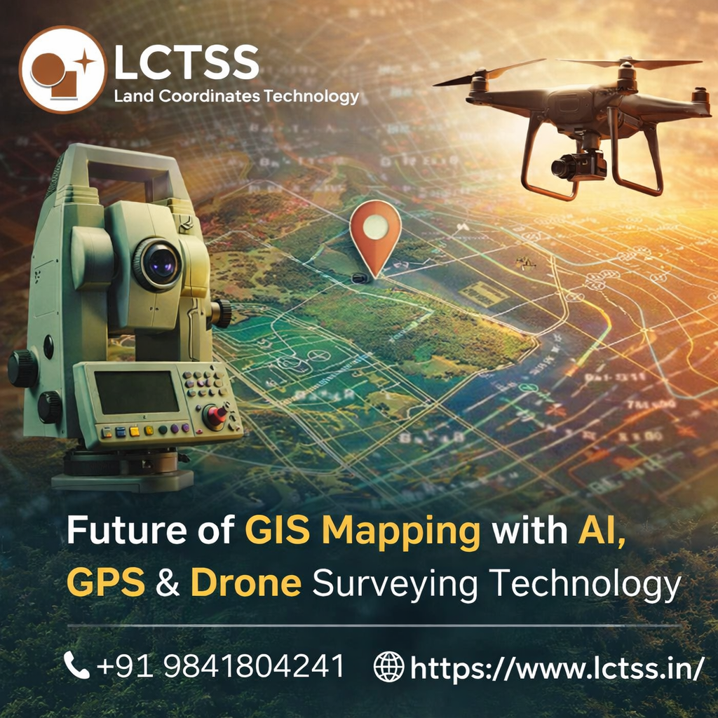
ToggleThe future of GIS Mapping with AI, GPS & Drone Surveying Technology is transforming the way industries collect, analyze, and manage spatial data. Businesses today require accurate mapping solutions for land development, infrastructure planning, agriculture, mining, construction, and smart city projects. Traditional surveying methods, while effective, often take more time and manpower. With modern advancements such as Artificial Intelligence, high-precision GPS systems, and drone surveying, GIS mapping has entered a smarter and faster era. Lctss (Land Coordinates Technology) is at the forefront of this revolution, delivering advanced GIS mapping services that combine innovation, precision, and efficiency for clients across multiple industries.
GIS Mapping, also known as Geographic Information System Mapping, is the process of collecting, storing, analyzing, and displaying geographic data. It helps organizations understand land patterns, terrain conditions, boundaries, and infrastructure layouts through interactive maps and digital models. With the integration of AI, GIS systems can now process large datasets quickly, detect patterns automatically, and generate highly accurate predictions. Lctss uses intelligent GIS tools to help businesses make informed decisions based on real-time spatial information.
Artificial Intelligence is playing a major role in shaping the future of GIS mapping. AI can analyze satellite imagery, drone-captured photos, terrain data, and survey reports within minutes, saving valuable time and resources. It can identify land changes, vegetation growth, road expansions, water bodies, and urban development with exceptional speed and accuracy. Instead of manually reviewing thousands of images, AI algorithms automatically classify and organize the data for faster project execution.
Lctss (Land Coordinates Technology) uses AI-powered GIS mapping solutions to improve project planning and reduce errors. For construction companies, AI can detect potential obstacles on a site before development begins. For agricultural sectors, AI can map soil conditions, irrigation zones, and crop health. For municipal projects, AI-based GIS helps in traffic management, drainage planning, and utility network mapping. This technology allows businesses to gain valuable insights while reducing operational costs.
AI also supports predictive analytics in GIS mapping. By studying historical land data and environmental changes, AI can forecast flood risks, erosion patterns, and future urban growth. These insights are highly beneficial for governments, builders, and planners who need sustainable long-term development strategies. Lctss ensures every GIS project benefits from smart data interpretation and future-ready mapping intelligence.
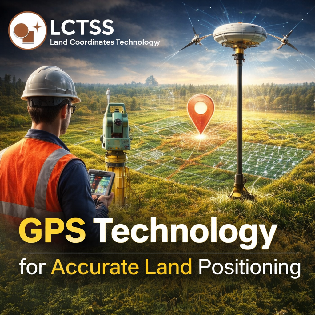
Global Positioning System (GPS) technology has become one of the most essential tools in modern GIS mapping. High-accuracy GPS devices provide exact coordinates of land parcels, structures, roads, pipelines, and utilities. This precision is critical for projects that demand accurate measurements and legal boundary verification. Traditional mapping often depended on manual references, but GPS now offers centimeter-level accuracy when combined with advanced survey equipment.
Lctss uses professional-grade GPS and DGPS systems to collect highly reliable field data for GIS mapping projects. Whether it is a small residential plot or a large industrial corridor, GPS technology ensures every location is recorded accurately. This eliminates measurement errors, reduces rework, and improves project confidence.
GPS-integrated GIS mapping is especially useful for transportation planning, telecom tower placement, utility asset management, and environmental monitoring. Engineers can locate underground pipelines, power lines, drainage systems, and road alignments with ease. Lctss provides GPS-enabled GIS services that help clients maintain accurate digital records of physical assets for long-term management and maintenance.
Real-time GPS data collection is another growing advantage. Field survey teams can instantly upload location data to GIS platforms, allowing office teams and project managers to monitor progress live. This creates faster communication, better coordination, and quicker project completion. Lctss leverages this smart workflow to deliver efficient surveying solutions with reduced delays.
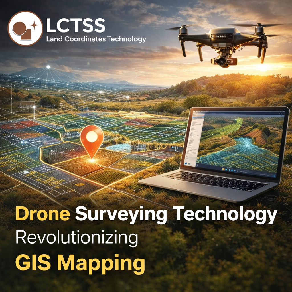
Drone surveying has completely changed how GIS data is captured. Equipped with high-resolution cameras, LiDAR sensors, and advanced navigation systems, drones can cover large areas in a fraction of the time required by ground crews. They can access difficult terrains such as mountains, forests, highways, construction zones, and mining sites safely and efficiently. Drone surveying produces accurate aerial imagery, orthomosaic maps, contour models, and 3D terrain data for GIS applications.
Lctss (Land Coordinates Technology) offers professional drone surveying services integrated with GIS mapping for faster and smarter project execution. Drone surveys provide clients with clear visual insights of land parcels, construction progress, and topographic conditions. Compared to traditional methods, drones reduce labor costs, improve safety, and speed up data collection significantly.
In construction projects, drone GIS mapping helps track progress, calculate earthwork volumes, and monitor site changes regularly. In agriculture, drones assist in crop mapping, irrigation planning, and yield analysis. In mining, drones provide accurate pit measurements, stockpile volume calculations, and terrain monitoring. Lctss combines drone data with GIS platforms to deliver detailed reports and maps that help clients make confident decisions.
Drone surveying also supports emergency response and disaster management. During floods, landslides, or storms, drones can quickly capture affected areas and update GIS systems with real-time information. Authorities can then plan rescue operations and damage assessments more effectively. Lctss recognizes the growing importance of rapid-response mapping solutions and provides advanced drone-based GIS support for urgent situations.
As technology continues to evolve, businesses need a trusted partner who understands both traditional surveying principles and modern digital innovations. Lctss (Land Coordinates Technology) combines expertise in GIS mapping, AI analytics, GPS surveying, and drone technology to deliver complete geospatial solutions for every project size.
The company focuses on accuracy, speed, affordability, and customer satisfaction. Every project is handled by trained professionals using advanced equipment and software tools. Whether clients need land surveys, utility mapping, construction planning, agricultural analysis, or infrastructure development support, Lctss provides reliable GIS services tailored to specific needs.
Future GIS mapping is not just about creating maps; it is about creating smart solutions that save time, reduce costs, and improve planning. AI helps interpret data faster, GPS ensures precise positioning, and drones capture large areas quickly. Together, these technologies are redefining surveying standards across industries.
Lctss remains committed to helping businesses embrace this future with innovative mapping services and professional support. By choosing Lctss, clients gain access to cutting-edge GIS solutions designed for modern challenges and long-term success. As demand for intelligent land data continues to grow, Lctss stands ready to lead the way with advanced GIS mapping powered by AI, GPS & Drone Surveying Technology.