




Table of Contents
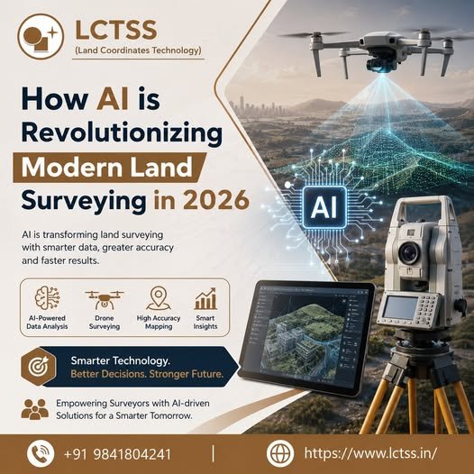
ToggleThe land surveying industry is undergoing a powerful transformation in 2026, driven by the rapid integration of Artificial Intelligence (AI). What was once a field heavily dependent on manual measurements, physical site visits, and time-consuming data processing has now evolved into a technology-driven domain that delivers speed, precision, and efficiency. At Lctss (Land Coordinates Technology), this transformation is embraced with a forward-thinking approach, equipping aspiring surveyors and professionals with cutting-edge AI-powered surveying solutions. The combination of AI with modern tools such as drones, LiDAR, GPS, and GIS is redefining how survey data is captured, analyzed, and utilized across industries.
AI has significantly enhanced the accuracy and speed of data collection in land surveying. Traditional methods often required surveyors to spend days or even weeks collecting and processing field data. Today, AI-powered drones and smart surveying instruments can capture vast amounts of geospatial data in a matter of hours. These systems use intelligent algorithms to identify terrain features, detect boundaries, and generate high-resolution maps with minimal human intervention. At Land Coordinates Technology (Lctss), students and professionals are trained to work with these advanced tools, ensuring they stay ahead in a competitive and technology-driven job market.
One of the most impactful contributions of AI in modern land surveying is its ability to process and analyze large datasets with remarkable efficiency. Surveying projects generate massive volumes of data, especially when technologies like LiDAR and drone mapping are used. AI algorithms can quickly process this data, filter out noise, and produce accurate 3D models, contour maps, and digital elevation models. This not only reduces the time required for data analysis but also minimizes the risk of human error.
At Lctss, emphasis is placed on teaching how AI-driven software tools can automate complex calculations and provide real-time insights. Surveyors can now make informed decisions faster, improving project timelines and reducing operational costs. AI also enables predictive analysis, allowing professionals to anticipate potential issues such as land deformation, environmental changes, or construction challenges before they arise. This proactive approach is transforming the way surveying projects are planned and executed.
The real power of AI in land surveying lies in its integration with other advanced technologies. Drones equipped with AI capabilities can autonomously navigate survey areas, capture images, and identify key features without manual control. LiDAR systems use AI to interpret laser-scanned data and create highly accurate 3D representations of the terrain. GPS and GNSS technologies combined with AI ensure precise positioning and real-time tracking, even in challenging environments.
Land Coordinates Technology (Lctss) provides hands-on training in these integrated technologies, enabling learners to understand how AI enhances each stage of the surveying process. From data acquisition to final reporting, AI acts as a powerful assistant that improves efficiency and accuracy. Additionally, AI-driven Geographic Information Systems (GIS) allow surveyors to visualize spatial data in more meaningful ways, supporting better planning and decision-making in infrastructure, construction, and urban development projects.
As AI continues to evolve, the demand for skilled professionals in modern land surveying is rapidly increasing. Companies are looking for surveyors who are not only familiar with traditional methods but also proficient in AI-based tools and technologies. This shift is creating new career opportunities in areas such as drone surveying, geospatial data analysis, remote sensing, and smart city development.
Lctss (Land Coordinates Technology) is committed to preparing students for this future by offering industry-oriented training programs that focus on the latest advancements in surveying technology. By learning how to leverage AI in land surveying, individuals can enhance their career prospects and become valuable assets in the industry. The ability to work with intelligent systems, interpret complex data, and deliver precise results is becoming a key requirement for modern surveyors.

In conclusion, AI is not just an addition to land surveying—it is a revolutionary force that is reshaping the entire industry. From improving data accuracy and reducing project timelines to enabling advanced analysis and decision-making, AI is setting new standards for efficiency and innovation. With institutions like Land Coordinates Technology (Lctss) leading the way in training and development, the future of land surveying in 2026 looks smarter, faster, and more promising than ever before.