Author:

Certified GIS Professional Course – Build Your Career in Geospatial Technology
  • No Comments

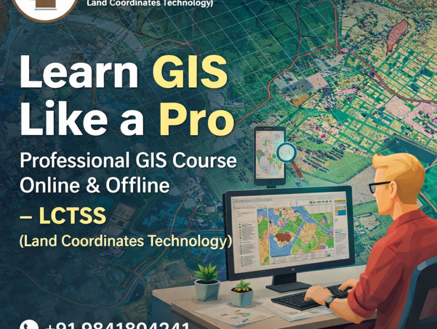
Certified GIS Professional Course – Build Your Career in Geospatial Technology

Empower Your Future with the Certified GIS Professional Course at Lctss In today’s world, Geospatial Technology plays a vital role in understanding, managing, and shaping our environment. From urban planning and environmental monitoring to disaster management and infrastructure development, GIS (Geographic Information Systems) has become the backbone of modern decision-making. At Lctss (Land Coordinates Technology),

  • No Comments

SLAM LiDAR Course – Master 3D Mapping & Mobile LiDAR at Lctss

In today’s rapidly evolving world of geospatial technology, SLAM LiDAR (Simultaneous Localization and Mapping) is revolutionizing the way land surveying and mapping are performed. From mobile mapping vehicles and drones to handheld scanners, SLAM LiDAR enables professionals to capture accurate 3D data in real time — even in GPS-denied environments. At Lctss (Land Coordinates Technology),

  • No Comments

Certified Land Surveyor Course – Master Total Station, GPS & Drone Survey

Introduction The demand for certified land surveyors has never been higher. From infrastructure development to smart city planning, skilled land surveyors play a crucial role in shaping the modern world. At Lctss (Land Coordinates Technology), we offer a Certified Land Surveyor Course designed to provide practical and theoretical knowledge of modern surveying technologies — including

  • No Comments

Advanced Land Surveyor Course – Master Modern Surveying Techniques

Unlock the Next Level of Surveying Expertise In today’s rapidly evolving infrastructure and geospatial industries, land surveyors play a vital role in shaping our world. As technology advances, so do the methods and tools used in surveying. Lctss (Land Coordinates Technology) brings you an Advanced Land Surveyor Course designed to empower professionals with cutting-edge skills