Best Drone Surveyor Course with Advanced Surveying Technologies in 2026
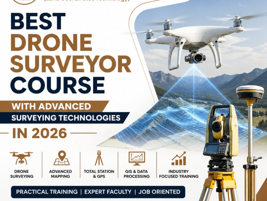
Best Drone Surveyor Course with Advanced Surveying Technologies in 2026 The demand for skilled drone surveyors is growing rapidly in 2026 as industries such as construction, infrastructure, mining, agriculture, real estate, highways, and urban planning increasingly depend on modern aerial surveying solutions. If you are looking to build a successful career in this fast-growing field,