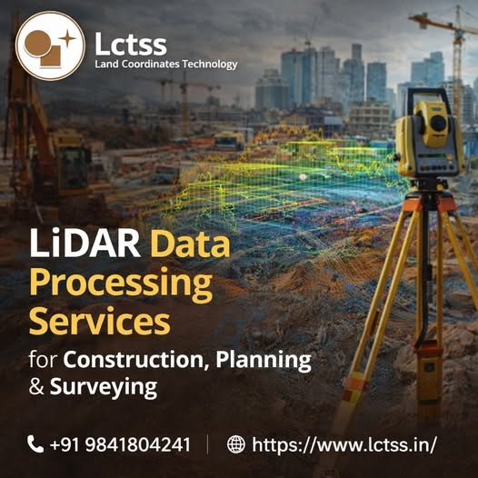
LiDAR Data Processing Services for Construction, Planning & Surveying
In today’s fast-paced construction and infrastructure landscape, accuracy, speed, and data reliability are critical for project success. LiDAR Data Processing Services play a vital role in delivering highly precise terrain models, elevation data, and spatial insights required for construction, urban planning, and land surveying projects. LCTSS (Land Coordinates Technology) offers advanced LiDAR data processing services