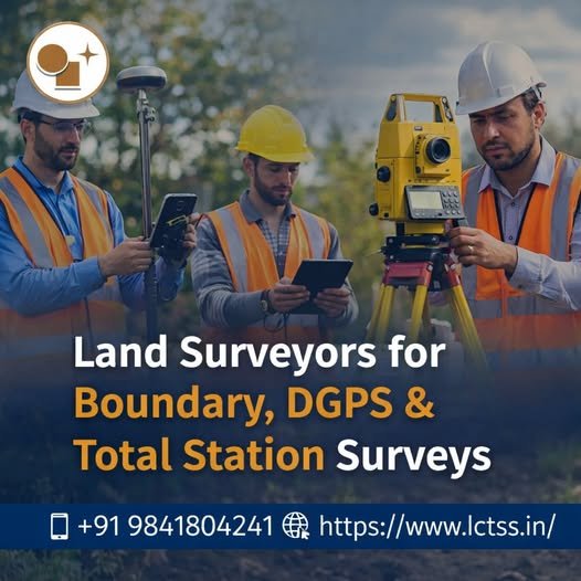
Land Surveyors for Boundary, DGPS & Total Station Surveys – LCTSS (Land Coordinates Technology)
Accurate land surveying is the foundation of every successful construction, infrastructure, and land development project. At LCTSS (Land Coordinates Technology), we provide professional Land Surveyors for Boundary, DGPS & Total Station Surveys, delivering precise, reliable, and legally compliant survey solutions across Tamil Nadu, Kerala, Karnataka, and other regions in India. With advanced technology, experienced surveyors,