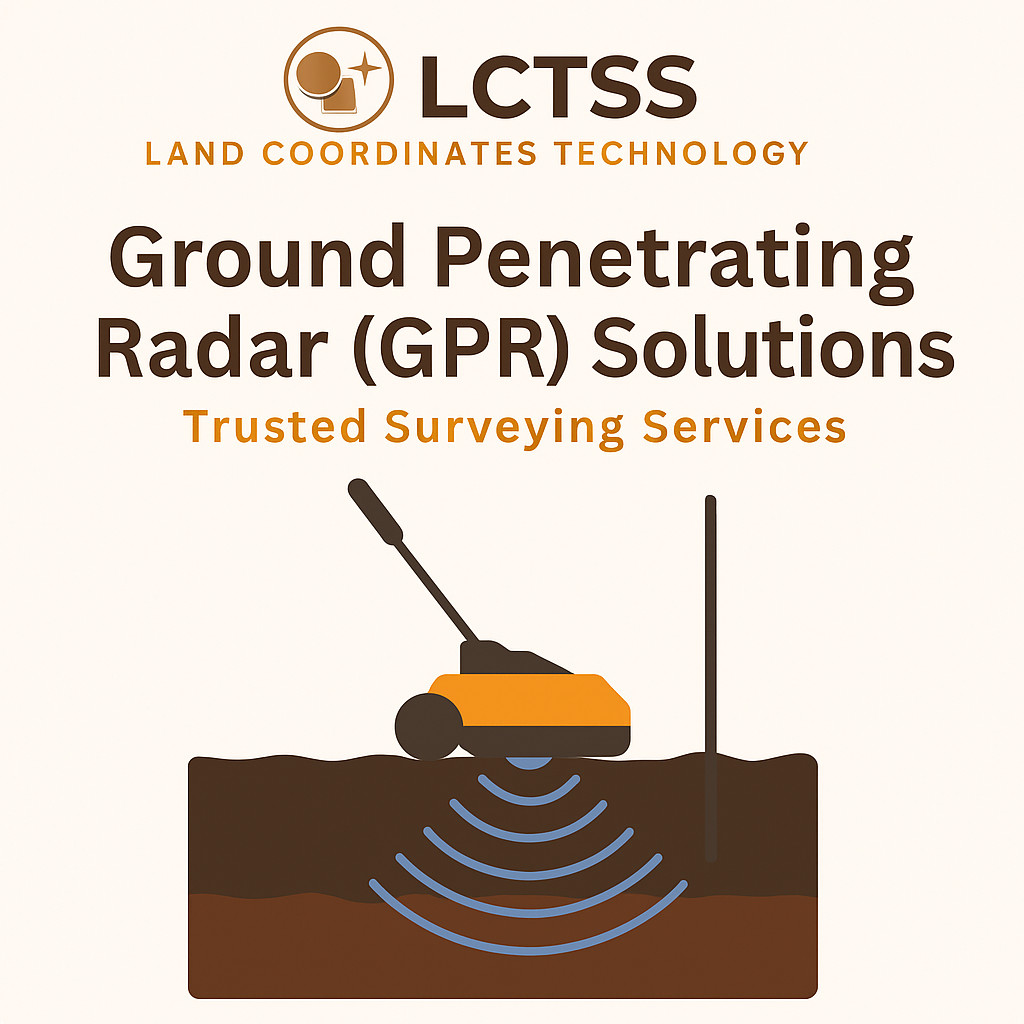
Blog

Land Surveying Training and SLAM LiDAR Training at Lctss (Land Coordinates Technology)
  • No Comments

Land Surveying Training and SLAM LiDAR Training at Lctss (Land Coordinates Technology)

In today’s fast-evolving geospatial industry, high-quality Land Surveying Training and SLAM LiDAR Training are critical to building a strong workforce ready to tackle real-world challenges. Lctss (Land Coordinates Technology) stands at the forefront, offering comprehensive, industry-driven courses that empower surveyors, engineers, GIS professionals, and technicians with the skills they need to succeed. Whether you’re starting

  • No Comments

DGPS Surveyor Training and Drone Surveyor Training at Land Coordinates Technology (Lctss)

In the fast-evolving landscape of geospatial technology, accurate data collection is the cornerstone of modern surveying. At Land Coordinates Technology (Lctss), we understand the critical role played by advanced surveying methods such as Differential Global Positioning System (DGPS) and Drone Surveying. That’s why we offer comprehensive, industry-relevant training programs designed to equip professionals and aspiring

  • No Comments

Master Total Station Surveyor Training and Advanced Land Surveyor Training at Lctss – Land Coordinates Technology

Are you passionate about land surveying and eager to master cutting-edge surveying technologies? At Land Coordinates Technology (Lctss), we offer industry-recognized Total Station Surveyor Training and Advanced Land Surveyor Training programs that equip you with practical knowledge and technical expertise for a rewarding career in geospatial sciences and land surveying. Whether you’re a beginner stepping

  • No Comments

UAV/Drone Survey Services and Land Surveying Services by Land Coordinates Technology (Lctss)

In today’s rapidly advancing world, the demand for accurate, efficient, and cost-effective surveying methods has increased exponentially. At Land Coordinates Technology (Lctss), we are proud to offer state-of-the-art UAV/Drone Survey Services and professional Land Surveying Services across India. Our solutions combine modern drone technology with traditional expertise, enabling us to deliver topographic data, 3D mapping,