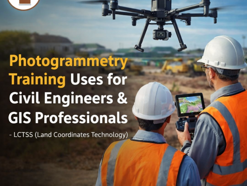
Blog

Advanced Land Surveyor Course – Master Modern Surveying Techniques
  • No Comments

Advanced Land Surveyor Course – Master Modern Surveying Techniques

Unlock the Next Level of Surveying Expertise In today’s rapidly evolving infrastructure and geospatial industries, land surveyors play a vital role in shaping our world. As technology advances, so do the methods and tools used in surveying. Lctss (Land Coordinates Technology) brings you an Advanced Land Surveyor Course designed to empower professionals with cutting-edge skills

  • No Comments

Drone Surveyor Course – Launch Your Career in Aerial Mapping with Lctss

In today’s fast-paced geospatial and infrastructure sectors, drone surveying has emerged as a game-changing technology that redefines the way land data is collected, analyzed, and utilized. From construction planning and land mapping to mining, agriculture, and urban development, drone-based surveying offers unmatched precision and efficiency. If you’re an aspiring land surveyor, civil engineer, or GIS

  • No Comments

Join Our DGPS Surveyor Course – Learn Advanced Land Surveying Skills

About the DGPS Surveyor Course by Lctss (Land Coordinates Technology) In today’s rapidly advancing surveying industry, DGPS (Differential Global Positioning System) has become one of the most essential technologies for accurate land mapping, infrastructure planning, and geospatial data analysis. At Lctss (Land Coordinates Technology), we offer a comprehensive DGPS Surveyor Course designed for students, engineers,

  • No Comments

Total Station Surveyor Course – Master Modern Land Surveying Techniques

Learn Precision Surveying with Lctss – Your Gateway to a Successful Surveying Career In today’s fast-paced infrastructure and construction world, modern land surveying techniques are essential for accuracy, efficiency, and reliability. One of the most powerful tools transforming the industry is the Total Station—a combination of electronic theodolite, distance meter, and microprocessor. At Lctss (Land