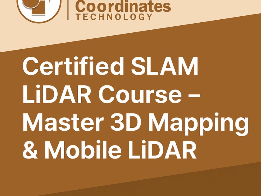
SLAM LiDAR Course – Master 3D Mapping & Mobile LiDAR at Lctss
In today’s rapidly evolving world of geospatial technology, SLAM LiDAR (Simultaneous Localization and Mapping) is revolutionizing the way land surveying and mapping are performed. From mobile mapping vehicles and drones to handheld scanners, SLAM LiDAR enables professionals to capture accurate 3D data in real time — even in GPS-denied environments. At Lctss (Land Coordinates Technology),