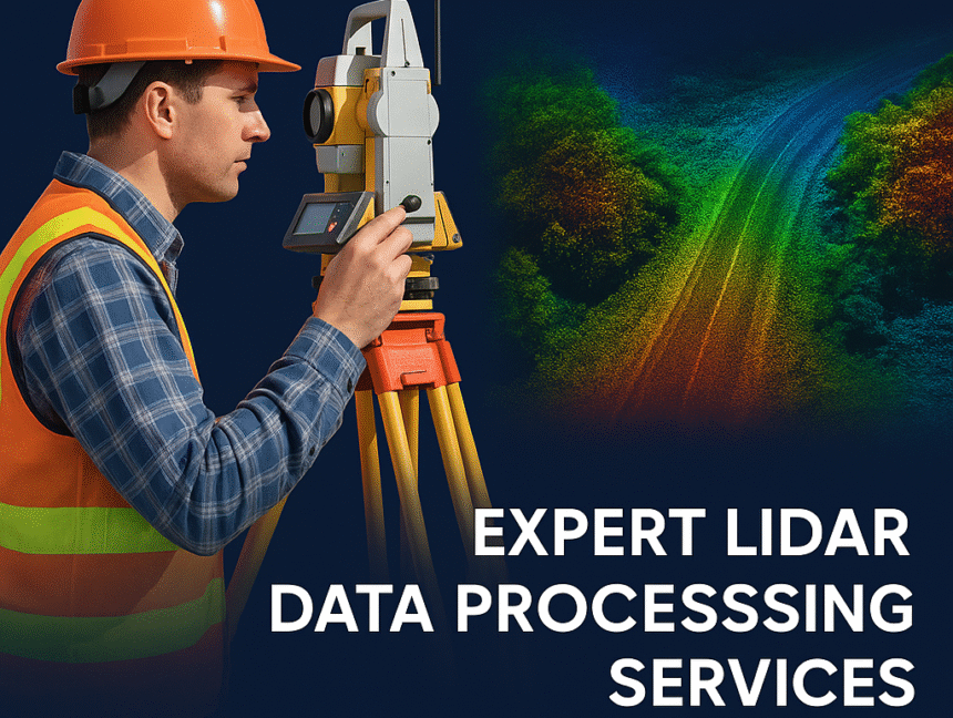
Expert Lidar Data Processing Services for Accurate Land Surveys
In the world of modern surveying and geospatial technology, Lidar (Light Detection and Ranging) has revolutionized how we capture, analyze, and interpret spatial data. At Lctss (Land Coordinates Technology), we offer Expert Lidar Data Processing Services tailored for accurate land surveys across India. Our advanced solutions support infrastructure development, urban planning, environmental assessments, and much