Modern Land Surveyors with Advanced GPS & Total Station Tools
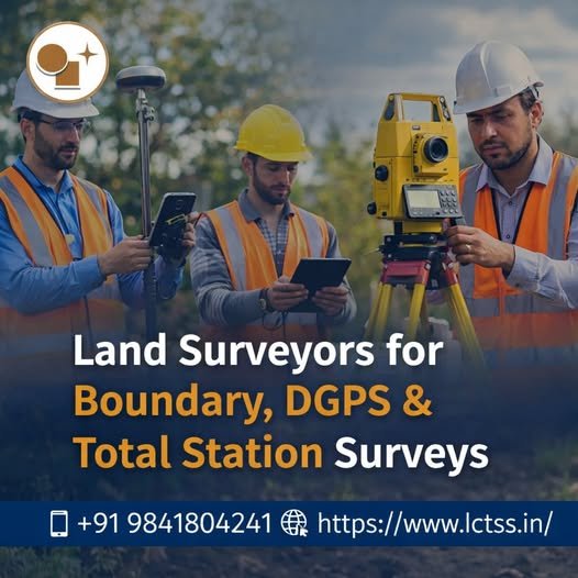
Modern Land Surveyors with Advanced GPS & Total Station Tools Modern land surveyors play a crucial role in shaping infrastructure, construction, and land development projects. With the rapid advancement of technology, traditional surveying methods have evolved into highly precise and efficient digital processes. At Lctss (Land Coordinates Technology), modern land surveyors utilize advanced GPS systems