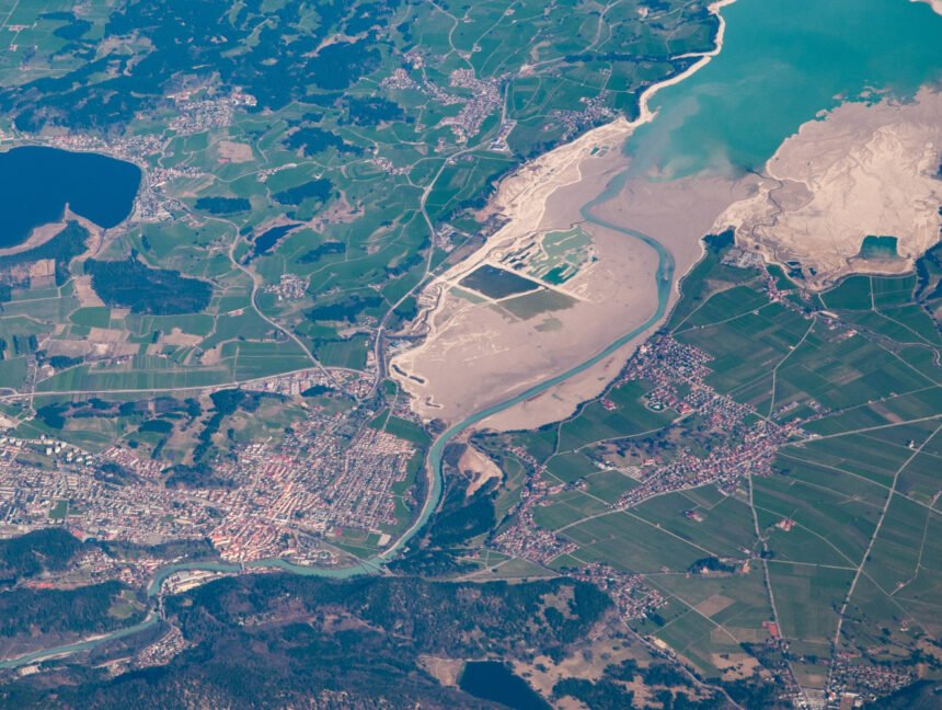
Accurate and Reliable Lidar Data Processing Services for Land Coordinates Technology in Karnataka
Welcome to Land Coordinates Technology, where we offer accurate and reliable Lidar Data Processing Services for seamless land analysis in Karnataka. Our cutting-edge technology combined with our expertise in Lidar data processing ensures that you receive precise and actionable insights for your land-related projects. Lidar, which stands for Light Detection and Ranging, is a remote