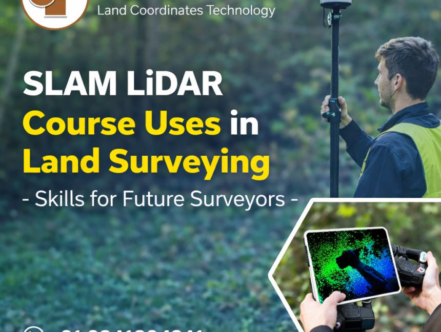
SLAM LiDAR Course Uses in Land Surveying – Skills for Future Surveyors
SLAM LiDAR Course Uses in Land Surveying – Skills for Future Surveyors The land surveying industry is undergoing a major technological shift, driven by the growing demand for speed, accuracy, and digital data integration. Traditional surveying methods, while still relevant, often struggle to meet the requirements of complex environments such as dense urban areas, indoor