Category: UAV/Drone Survey

  • Blog
  • Category: UAV/Drone Survey
Reliable UAV/Drone Survey Solutions for Construction & Land Planning – Lctss
  • No Comments

Reliable UAV/Drone Survey Solutions for Construction & Land Planning – Lctss

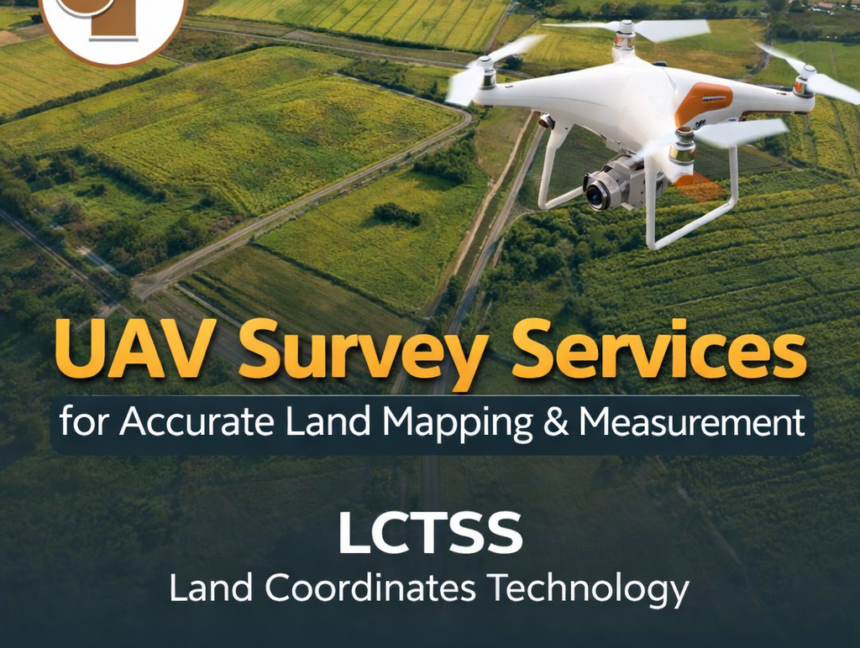
In today’s fast-paced infrastructure and development world, accuracy, efficiency, and real-time data are key to successful land planning and construction execution. At Lctss (Land Coordinates Technology), we provide reliable UAV/Drone Survey Solutions that revolutionize how projects are designed, analyzed, and completed across Tamil Nadu, Kerala, Karnataka, and beyond. Why Choose UAV/Drone Surveying? Traditional surveying methods,

  • No Comments

UAV/Drone Survey Services and Land Surveying Services by Land Coordinates Technology (Lctss)

In today’s rapidly advancing world, the demand for accurate, efficient, and cost-effective surveying methods has increased exponentially. At Land Coordinates Technology (Lctss), we are proud to offer state-of-the-art UAV/Drone Survey Services and professional Land Surveying Services across India. Our solutions combine modern drone technology with traditional expertise, enabling us to deliver topographic data, 3D mapping,

  • No Comments

Professional UAV/Drone Survey Services in Thiruvananthapuram, Kerala

In the ever-evolving landscape of technology, the use of UAV (Unmanned Aerial Vehicles) or drones has revolutionized various industries, particularly in surveying and mapping. In Thiruvananthapuram, Kerala, Land Coordinates Technology (LCTSS) stands out as a premier provider of professional UAV/Drone survey services. Our commitment to precision, efficiency, and innovative technology makes us the best choice

  • No Comments

UAV/Drone Survey Services in Kerala: Precision Land Coordinates Technology

In today’s rapidly evolving world, accurate land mapping and surveying are essential for development projects, construction, land ownership disputes, environmental studies, and infrastructure planning. Traditional surveying methods, while effective, can be time-consuming, labor-intensive, and often limited in accuracy over large areas. Enter UAV (Unmanned Aerial Vehicle) or drone survey services – a game-changer in land