

Table of Contents
ToggleEvery successful construction project starts with a strong foundation—and that foundation begins with accurate surveying. From highways and bridges to residential layouts and industrial complexes, Civil Engineering Surveying plays a critical role in ensuring precision, safety, and cost efficiency.
At Lctss (Land Coordinates Technology), we specialize in delivering Accurate Land & Site Survey Solutions that empower engineers, architects, planners, and developers to make informed decisions. With state-of-the-art technology, experienced surveyors, and industry best practices, we provide reliable data that sets the stage for project success.
Civil Engineering Surveying is the science and art of determining the relative positions of points on the earth’s surface. It involves measuring distances, angles, and elevations to create accurate maps, layouts, and designs. Surveying ensures that construction projects are carried out according to plan, avoiding costly errors, legal disputes, and safety issues.
Accuracy in Design & Construction – Ensures structures are built in the right location and alignment.
Legal Compliance – Helps establish property boundaries and avoid disputes.
Cost Savings – Prevents rework, design flaws, and miscalculations.
Risk Reduction – Identifies natural and man-made obstacles.
Future Planning – Provides data for expansion, maintenance, and infrastructure upgrades.
At Lctss, we provide comprehensive surveying solutions tailored to civil engineering needs, including:
Topographic Surveying – Mapping land features, contours, and elevations.
Construction Layout Surveying – Marking reference points for buildings, roads, and bridges.
Boundary & Property Surveys – Defining land ownership lines.
Geodetic Surveys – Large-scale surveys considering the earth’s curvature.
As-Built Surveys – Verifying completed construction against design plans.
Utility & Underground Surveys – Detecting pipelines, cables, and subsurface utilities using Ground Penetrating Radar (GPR).
Drone-Based Photogrammetry & LiDAR – High-resolution aerial mapping for faster, more accurate data.
GIS Mapping & Data Processing – Integrating survey data with geographic information systems for analysis and planning.
To ensure accuracy and reliability, Lctss integrates modern surveying technologies such as:
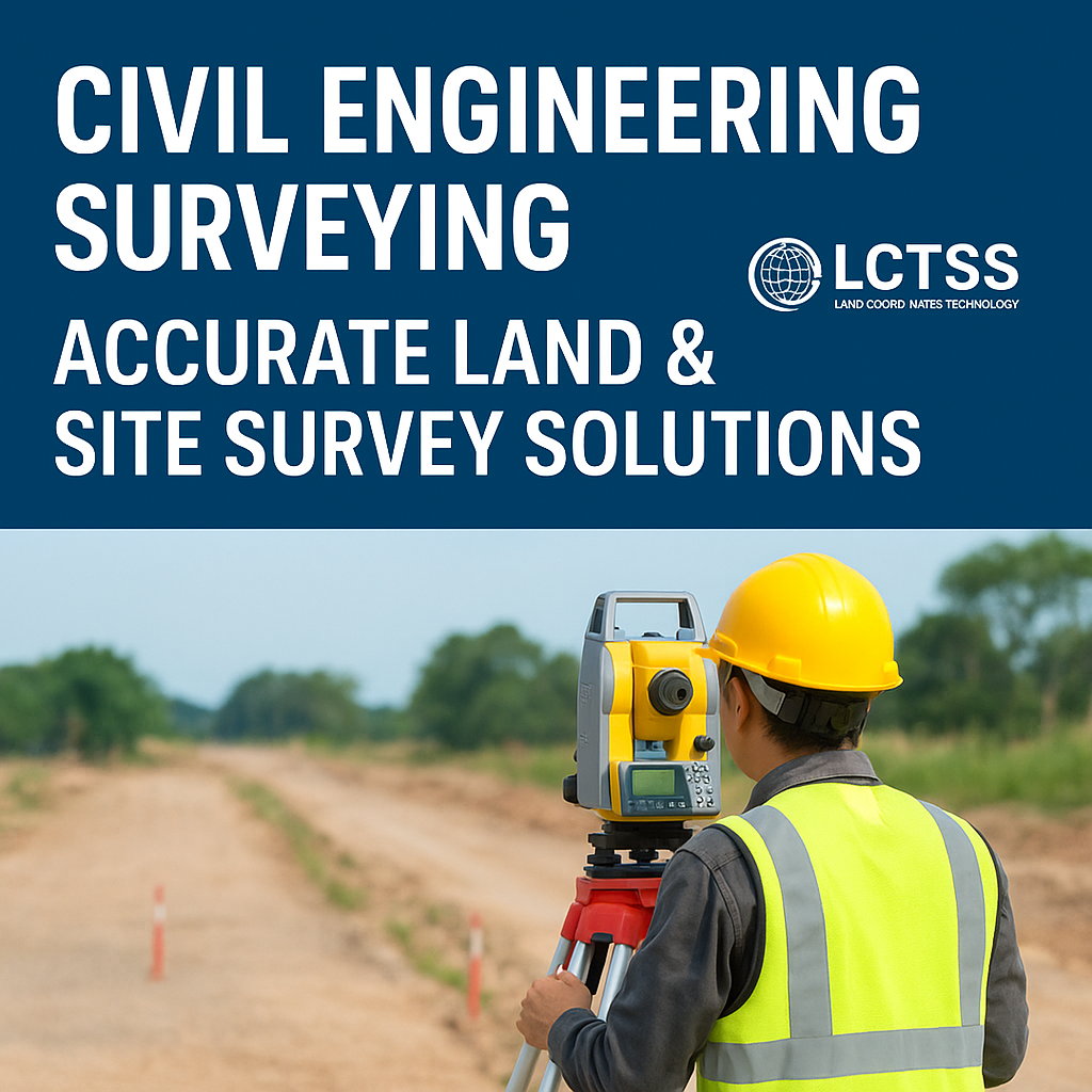
Total Station Surveying – High-precision measurement of angles and distances.
GPS/GNSS Surveying – Real-time satellite positioning for large projects.
LiDAR (Light Detection and Ranging) – 3D mapping for terrain and infrastructure analysis.
Drone/ UAV Surveys – Quick, cost-effective, and high-resolution aerial data.
Ground Penetrating Radar (GPR) – Non-invasive method to detect underground utilities and soil layers.
AutoCAD & GIS Integration – For advanced drafting, design, and analysis.


Civil Engineering Surveying by Lctss is applied across a wide range of industries:
Infrastructure Development – Highways, railways, airports, and bridges.
Urban Planning – Residential layouts, smart cities, and industrial parks.
Water Resources – Dams, canals, and irrigation systems.
Environmental Projects – Land reclamation, coastal studies, and disaster management.
Construction Projects – Commercial complexes, factories, and institutions.
Proven expertise in Civil Engineering Surveying.
Equipped with cutting-edge survey technologies.
Trusted partner for government, private, and industrial projects.
Dedicated to accuracy, safety, and client satisfaction.
Providing services across Tamil Nadu, Kerala, Karnataka, and beyond.
When you partner with Lctss, you get more than data—you gain insights that drive project success.
Q1. What is Civil Engineering Surveying used for?
Civil Engineering Surveying is used to measure and map land for planning, designing, and executing construction projects.
Q2. How accurate are Lctss surveying services?
With advanced tools like Total Station, GPS, LiDAR, and GPR, our surveys achieve high precision, reducing costly errors.
Q3. Do you provide drone surveys?
Yes, Lctss offers UAV/Drone-based photogrammetry and LiDAR surveys for faster and more detailed mapping.
Q4. Can you help with property boundary disputes?
Absolutely. Our boundary surveys clearly define land ownership lines to settle disputes legally.
Q5. How long does a survey take?
Survey timelines depend on project size and terrain complexity. Small plots may take a few days, while larger projects require weeks.
Q6. Are your surveys legally valid?
Yes, all surveys conducted by Lctss comply with government standards and legal requirements.
Q7. What industries benefit from your services?
Our surveying solutions serve construction, real estate, infrastructure, utilities, and government projects.
Q8. Do you provide digital maps and CAD drawings?
Yes, we deliver survey results in digital formats (CAD, GIS, 3D models) for easy integration into design workflows.
Q9. How do I request a survey from Lctss?
You can reach out via our website, email, or contact number to discuss project details and get a customized quote.
Q10. Why should I choose Lctss over other survey companies?
Because we combine expertise, advanced technology, and client-centric service to deliver reliable results every time.

“Lctss provided us with precise land surveying for our industrial park project. Their professionalism and accuracy saved us both time and money.”

“The drone survey done by Lctss was excellent. We received detailed 3D maps that made our design planning much easier.”

“We trusted Lctss for a major road construction project. Their team was highly skilled and used modern equipment, ensuring smooth project execution.”

“From boundary surveys to layout design, Lctss delivered outstanding service. Highly recommended for civil engineering projects.”
Accurate surveying is the backbone of every successful civil engineering project. At Lctss (Land Coordinates Technology), we pride ourselves on delivering Civil Engineering Surveying – Accurate Land & Site Survey Solutions that empower clients with data-driven insights, precision, and confidence.
Whether you’re planning a new highway, designing a residential layout, or developing an industrial facility, our expert team and advanced technology ensure your project begins on the right foundation.
