


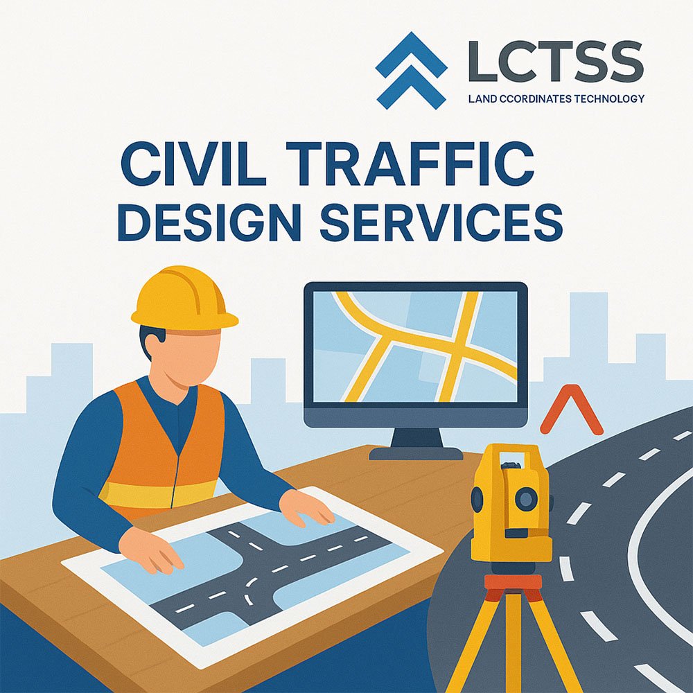
In today’s rapidly urbanizing world, effective civil traffic design services are crucial to creating sustainable, efficient, and safe transportation infrastructure. At Lctss (Land Coordinates Technology), we specialize in offering comprehensive civil traffic design services integrated with precise land surveying for projects across Tamil Nadu, Kerala, and Karnataka. Our advanced technical solutions ensure that every civil development—be it residential, commercial, or public infrastructure—is built upon accurate data and sound engineering principles.
Whether you are planning a new roadway, upgrading an existing intersection, or developing a township, Lctss brings the perfect blend of geospatial expertise and traffic engineering insight to your project.
Table of Contents
ToggleCivil traffic design services focus on designing roadways, intersections, pedestrian facilities, and transportation systems that are safe, efficient, and compliant with national and regional codes. These services involve a range of technical processes such as:
Traffic flow analysis
Intersection layout and signal design
Pedestrian and cyclist safety planning
Road capacity evaluation
Geometric road design
Parking lot design and circulation planning
These are typically conducted in coordination with land surveys to provide accurate topographical, boundary, and geospatial data essential for precise engineering design.
Combining land surveying with traffic design ensures that your infrastructure is:
Precisely aligned with existing topography
Cost-efficient and compliant with legal property boundaries
Designed based on accurate right-of-way and terrain data
Minimized in environmental impact
Optimized for current and future traffic volumes
At Lctss, our expert land surveyors work hand-in-hand with civil engineers to deliver data-driven traffic designs grounded in reality.
We begin every traffic design project with accurate land surveys:
Terrain elevation data
Utility mapping
Roadside features
Legal property boundaries
Right-of-way identification
We conduct field studies including:
Traffic volume counts
Turning movement counts
Peak-hour analysis
Origin-destination surveys
Speed and delay studies
Using CAD, GIS, and traffic modeling software, we design:
Signal phasing and timings
Roundabouts and grade-separated junctions
Stop-controlled intersections
Traffic calming features
Our team designs roads based on:
National and state highway norms
Safe curve radii and slopes
Lane widths and shoulder placement
Drainage and pedestrian pathways
We assess existing or proposed designs for:
Collision risk factors
Vulnerable road user safety
Road signage and visibility
Speed management
We optimize parking lots and facilities for:
Commercial centers
Institutions
Smart city layouts
Public transportation hubs
Using advanced GIS tools, we provide:
Real-time traffic heat maps
Accident-prone zone mapping
Infrastructure planning overlays
3D road modeling with elevation profiles
Our civil traffic design and land survey services are vital for:
Highway and expressway planning
Smart city projects
Industrial estate layout
Residential township approvals
Railway crossing redesign
Airport approach roads
Commercial complexes and malls
Municipal infrastructure upgrades
✅ Experienced Survey Engineers – Decades of experience in topographical, GPS, and drone-based surveys.
✅ End-to-End Solutions – From land acquisition planning to final traffic signal drawings.
✅ GIS & CAD Expertise – Accurate maps and scalable design outputs.
✅ Local Knowledge – In-depth understanding of terrain and traffic behavior in Tamil Nadu, Kerala, and Karnataka.
✅ Regulatory Compliance – Designs adhere to IRC, MORTH, NACTO, and other standards.
✅ Customized Reporting – Clear documentation and digital deliverables suitable for consultants, contractors, and government approvals.
Initial Consultation & Requirement Study
Land Survey & Data Collection
Traffic Analysis & Simulation Modeling
Preliminary Design & Stakeholder Review
Detailed Engineering & Final Report Submission
Support for Tendering & Construction Phase
Lctss proudly offers civil traffic design and land survey services in:
Tamil Nadu – Chennai, Coimbatore, Madurai, Trichy, Salem
Kerala – Kochi, Thiruvananthapuram, Kozhikode, Palakkad
Karnataka – Bengaluru, Mysuru, Mangalore, Hubli-Dharwad
We also cater to rural development schemes, panchayat road planning, and infrastructure support for smart village initiatives.
High-resolution topographic maps
AutoCAD road and junction layouts
Traffic volume and capacity reports
Road safety audit reports
GIS-based traffic models
Bill of Quantities (BoQ) for civil works
Site-specific design recommendations
Get in touch with Lctss (Land Coordinates Technology) to discuss your project requirements. Whether it’s a greenfield development or urban retrofit, we’re here to provide precise, innovative, and sustainable civil traffic design solutions backed by accurate land survey data.
📍 Website: www.lctss.in
📧 Email: lctsurveyins@gmail.com
📞 Phone: 9841804241
📍 Offices: Tamil Nadu | Kerala | Karnataka
Land surveying provides essential ground data like elevation, terrain, boundaries, and utilities that ensure road and traffic structures are accurately designed and safely implemented.
Yes, we offer full-fledged traffic signal design including phasing, timing plans, and layout based on traffic data and junction geometry.
Absolutely. We have experience working with municipal corporations, smart city authorities, and state highway departments.
Yes, our road safety audits identify potential hazards, suggest improvements, and align with IRC and MoRTH safety norms.
We use AutoCAD Civil 3D, MX Roads, PTV Vissim, GIS, and other industry-leading tools for simulation and design.
Yes. We perform manual and automated traffic counts, turning movement studies, and parking utilization surveys.
Yes, our surveys and traffic designs are aligned with DPR requirements for road, transport, and infrastructure projects.
While our base is in Tamil Nadu, Kerala, and Karnataka, we are open to large-scale projects across India.
Depending on project size, it can range from 2 weeks for small intersections to 2–3 months for larger corridor designs.
Yes, we offer drone-based topographic mapping for road alignment and highway corridor planning.