


Table of Contents
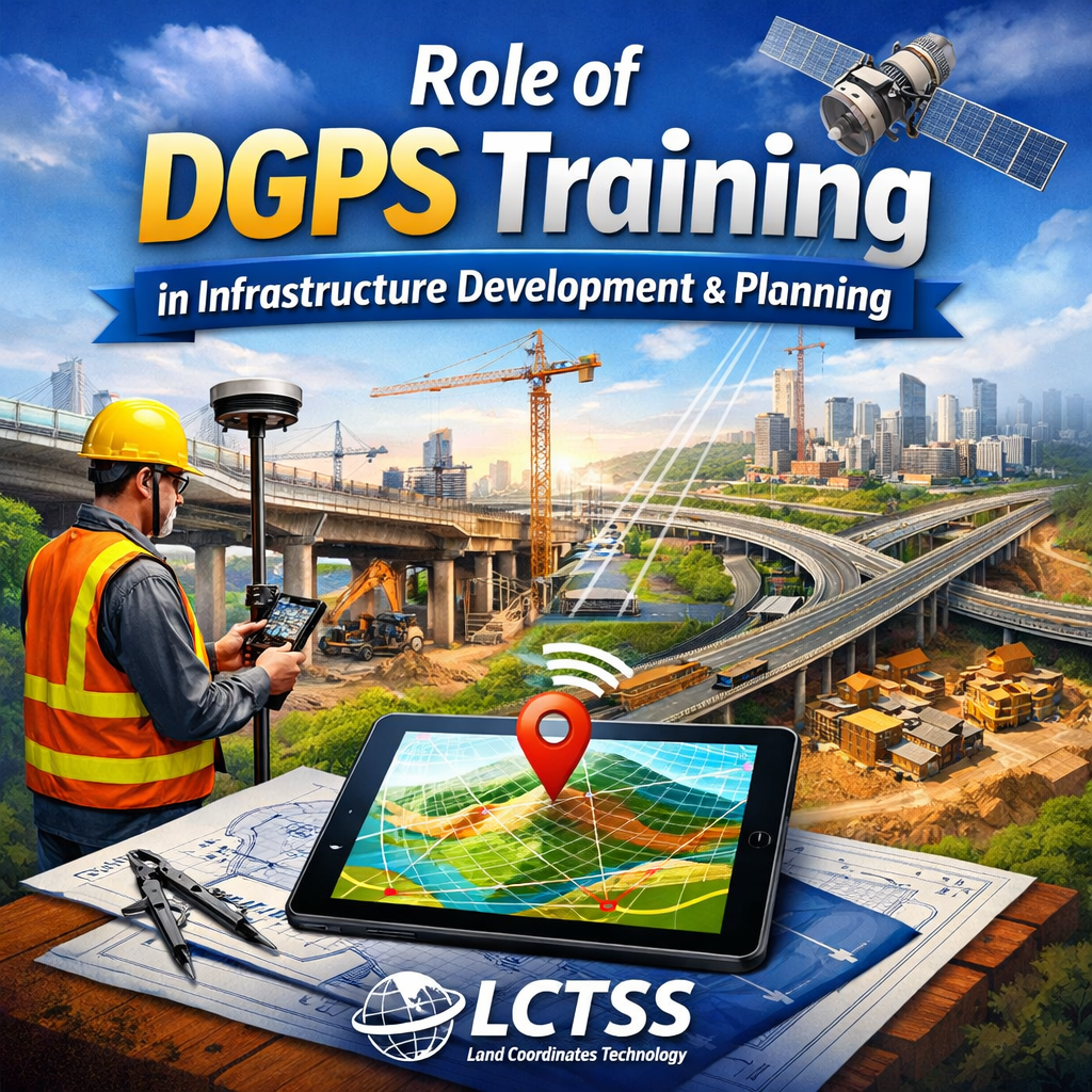
ToggleDGPS (Differential Global Positioning System) Surveyor Training plays a vital role in today’s construction and planning industries, where precision, speed, and data reliability are critical. At LCTSS (Land Coordinates Technology), DGPS surveyor training is designed to equip professionals with the practical skills needed to meet modern project demands. From small-scale land development to large infrastructure projects, DGPS technology ensures centimeter-level accuracy, making it an essential tool for surveyors, engineers, planners, and construction managers. Industry-focused DGPS training helps bridge the gap between traditional surveying methods and advanced geospatial technologies used in contemporary projects.
In construction projects, DGPS-trained surveyors are widely involved in preliminary site surveys and feasibility studies. Accurate positioning data collected using DGPS helps engineers and planners understand site boundaries, existing ground conditions, and reference points before design work begins. This accurate baseline data minimizes design errors, reduces rework, and ensures that construction layouts align perfectly with approved plans. Professionals trained at LCTSS gain hands-on experience in setting up base and rover units, performing static and RTK surveys, and validating field data, which directly improves the efficiency and reliability of construction survey workflows.
DGPS surveyor training is extensively used for boundary demarcation and land parcel mapping in construction planning. Clear and legally accurate boundary identification is essential for avoiding disputes and ensuring regulatory compliance. DGPS allows surveyors to mark property limits with high precision, even across large or irregular land parcels. LCTSS training emphasizes real-world applications such as cadastral surveys, layout marking, and land subdivision, enabling surveyors to confidently support residential, commercial, and industrial development projects.
Infrastructure projects such as roads, highways, railways, bridges, pipelines, and power transmission corridors heavily depend on DGPS-trained professionals. DGPS surveyor training enables accurate alignment surveys, control point establishment, and route mapping over long distances. In linear infrastructure planning, maintaining consistency and positional accuracy across kilometers is crucial. DGPS technology ensures seamless data continuity, helping planners and engineers optimize alignments, reduce land acquisition issues, and improve overall project execution. LCTSS focuses on industry-relevant training modules that reflect real infrastructure challenges faced in the Indian construction and planning sectors.
Urban planning and smart city projects increasingly rely on DGPS surveyor training for creating accurate base maps and geospatial datasets. DGPS data supports master planning, zoning, road network design, drainage planning, and utility mapping. Surveyors trained in DGPS at LCTSS learn how to integrate positioning data with GIS platforms, enabling planners to make data-driven decisions. Accurate spatial data ensures efficient land use, sustainable development, and better coordination between multiple government and private stakeholders involved in planning projects.
DGPS surveyor training is also essential in construction layout and setting-out works. From marking building footprints to aligning structural elements, DGPS-trained professionals ensure that construction activities follow approved drawings with minimal deviation. This level of precision reduces material wastage, improves construction quality, and prevents costly structural errors. LCTSS provides practical field training that mirrors real construction environments, allowing trainees to understand how DGPS technology supports every stage of construction, from foundation marking to final as-built surveys.

Monitoring and progress tracking are key industry uses of DGPS surveyor training in construction and planning. DGPS enables accurate monitoring of earthworks, embankments, and structural components over time. Surveyors can compare planned and actual positions, detect deviations early, and support corrective actions. This is particularly valuable in large-scale projects where even minor positional errors can lead to significant delays and cost overruns. LCTSS training prepares professionals to conduct repeat surveys, manage coordinate systems, and generate reliable reports for engineers and project managers.
DGPS-trained surveyors also play a crucial role in topographic mapping and terrain modeling for planning purposes. Accurate elevation data collected using DGPS supports drainage design, slope analysis, road gradients, and flood risk assessment. In construction planning, this information helps engineers design safer and more efficient structures.
LCTSS emphasizes practical DGPS data collection techniques combined with post-processing and quality checks, ensuring that trainees can deliver industry-ready survey outputs.
In addition, DGPS surveyor training supports asset mapping and utility planning in construction projects. Accurate positioning of underground and surface utilities such as water pipelines, sewer lines, electrical cables, and communication networks is essential for safe construction and long-term infrastructure management. DGPS data helps planners avoid conflicts, reduce excavation risks, and improve coordination between multiple service providers. LCTSS equips trainees with the skills to work alongside other technologies such as GIS, total stations, and UAV surveys, making them versatile professionals in the construction and planning industry.
Overall, the industry uses of DGPS surveyor training in construction and planning continue to expand as projects become more complex and data-driven. With increasing demand for accuracy, efficiency, and digital workflows, DGPS-trained professionals are highly valued across civil engineering, urban development, and infrastructure sectors. LCTSS (Land Coordinates Technology) offers industry-aligned DGPS surveyor training that focuses on practical applications, real-world case studies, and hands-on field experience. This ensures that trainees are not only skilled in operating DGPS equipment but are also fully prepared to contribute effectively to modern construction and planning projects across India.