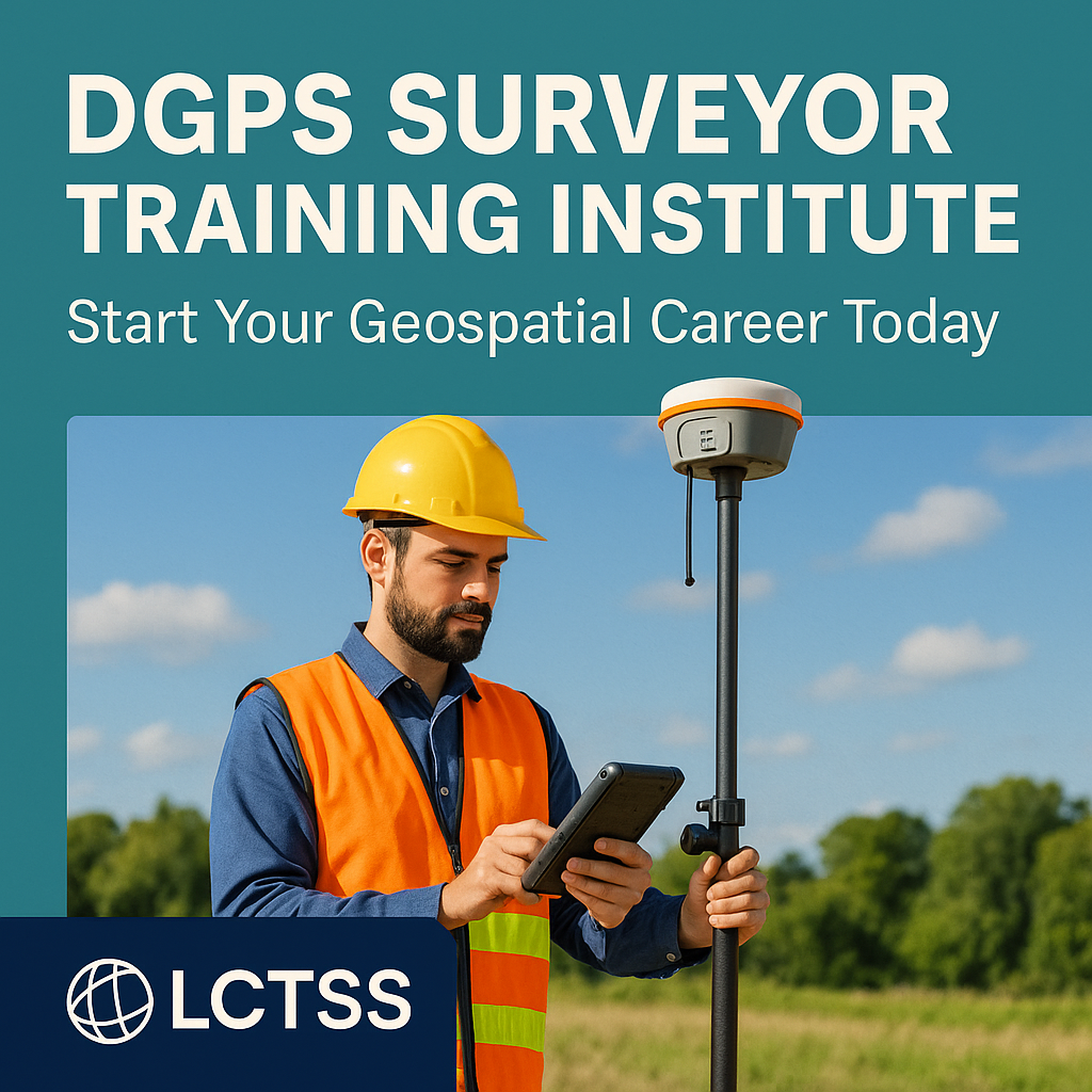
📚 Course Curriculum: DGPS Surveyor Training
Our training modules are designed to be practical, easy to understand, and directly applicable in the field.
🧭 Module Breakdown:
Introduction to DGPS and GNSS
Principles of satellite-based positioning
DGPS vs GPS vs GNSS – comparison and applications
Hardware & Instrumentation
Components of a DGPS system
Base and rover setup
Device calibration and troubleshooting
DGPS Field Survey Techniques
Station setup and initialization
Differential correction methods
Collecting and managing spatial data
Data Processing & Post-Processing
Downloading data from DGPS units
Software tools: Trimble Business Center, GNSS Solutions, etc.
Post-processing corrections and export to CAD/GIS
Applications & Project Use Cases
DGPS in infrastructure and land development
Use in forest, agriculture, and utility projects
Integrating DGPS with GIS
Report Generation & Submission
Preparing survey maps and reports
Submitting digital survey data to clients or authorities
Soft Skills and Industry Readiness
Communication and documentation skills
Professional ethics in land surveying
🎯 Who Should Join the DGPS Surveyor Training?
Our course is ideal for:
Diploma or Engineering Students in Civil, Geomatics, or Surveying
Working Professionals in construction, GIS, infrastructure sectors
Land Surveyors looking to upgrade their skills
Government Survey Contractors and private consultancy teams
Freshers seeking job-oriented technical education
💼 Career Opportunities After DGPS Training
LCTSS alumni work in various high-paying and stable careers after successful training. Career paths include:
DGPS/GNSS Surveyor
Geospatial Analyst
Site Engineer (Survey Division)
GIS Mapping Technician
Infrastructure Survey Consultant
Government project surveyor (PWD, NHAI, Forest, Smart City, etc.)
You can work in:
Civil engineering and construction companies
Survey and mapping firms
GIS-based solution companies
Infrastructure and land development agencies
Government and municipal departments
🛠️ Tools & Technology You’ll Learn
At LCTSS, we train you with industry-standard tools and software:
DGPS Devices: Trimble, Leica, South, Topcon
Survey Software: Trimble Business Center, GNSS Solutions, AutoCAD, QGIS
Data Handling: CSV/KML/SHAPE formats, Google Earth Integration
Field-to-Office Workflow Mastery
📍 Training Locations by LCTSS
We provide DGPS Surveyor Training in:
Chennai, Coimbatore, Madurai – Tamil Nadu
Kochi, Trivandrum, Calicut – Kerala
Bengaluru, Mysuru, Mangalore – Karnataka
Looking for on-site corporate training? LCTSS also offers customized workshops for companies and government contractors.
🎓 Certification & Placement Support
Upon successful completion, you will receive:
DGPS Surveyor Certificate from LCTSS
Internship Letter for real-world project experience
Placement Assistance via our industry network
Our trainees are placed in top survey firms, EPC contractors, infrastructure consultancies, and government projects.
📅 Upcoming Batches – Enroll Today!
LCTSS runs monthly batches with flexible timings:
Weekday Batches: Mon to Fri – Morning & Evening slots
Weekend Batches: Sat & Sun – Full-day sessions
Online & Hybrid Options available for theoretical modules
👉 Limited Seats per Batch – To maintain personalized attention.
👉 Enroll Now: https://www.lctss.in
🙋♂️ Frequently Asked Questions (FAQs)
1. What is the duration of the DGPS Surveyor Training at LCTSS?
The standard course duration is 4 weeks, including both theory and practical fieldwork. Fast-track and extended programs are available.
2. Do I need prior survey knowledge to join?
No. Our course is suitable for both beginners and experienced professionals. We start from the basics.
3. Is the certification valid for government or private jobs?
Yes. LCTSS certificates are widely accepted by private firms, contractors, and government survey project consultants.
4. Will I get practical field training?
Absolutely. Hands-on field training is the core of our program using real DGPS equipment.
5. Which instruments will I be trained on?
We use DGPS units from Trimble, South, Leica, and Topcon, ensuring you are job-ready.
6. Do you offer placement support?
Yes. We offer 100% placement assistance, interview prep, and referrals to partner organizations.
7. Is there any online DGPS training module?
Yes. We offer a hybrid mode with online theory classes and offline field training sessions.
8. What is the fee structure?
Our fee is affordable with flexible EMI options. Contact us directly for the latest fee details.
9. Can I get a demo before joining?
Yes. You can attend a free demo class or consult with our trainer before enrolling.
10. How can I register for the course?
Visit https://www.lctss.in or call us to register. Seats fill fast, so early booking is recommended.
🚀 Start Your Career with LCTSS Today!
The world is shifting towards digital and accurate mapping. Be part of the change with LCTSS’s DGPS Surveyor Training Institute. Gain skills that matter, get certified, and start working on real-world infrastructure and land development projects.
👉 Explore course details: https://www.lctss.in
📞 Contact us now for enrollment and demo sessions!
📍 Join LCTSS – Your Future in Geospatial Technology Starts Here!
Would you like a shorter version for social media or meta descriptions for this page as well?


