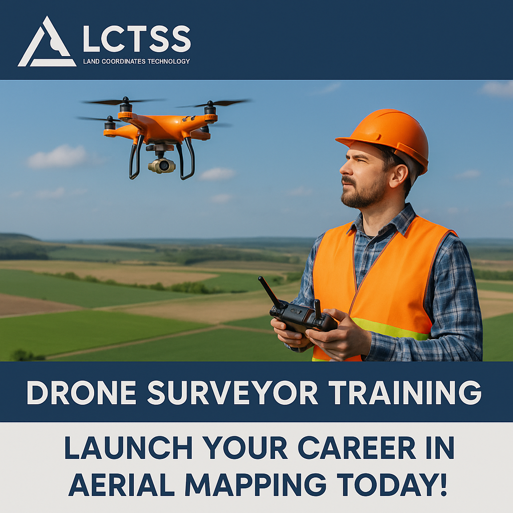


In today’s data-driven world, aerial mapping using drones has transformed the landscape of land surveying, construction, agriculture, and infrastructure planning. With the demand for precise, real-time geospatial data rising rapidly, Drone Surveyor Training has become a crucial pathway for individuals aspiring to join the growing geospatial and mapping industry.
At Lctss (Land Coordinates Technology), we offer a comprehensive Drone Surveyor Training Program designed to equip learners with the skills and certification needed to excel in the world of UAV-based surveying and mapping. Whether you’re a student, civil engineer, GIS technician, or surveyor looking to upgrade your skills, this program is your gateway to a high-demand, tech-driven career.
Table of Contents
ToggleDrone surveying has opened up new possibilities for efficient and cost-effective land data acquisition. Compared to traditional survey methods, drones can capture large areas faster with high-resolution accuracy and minimal human involvement. Here’s why more professionals are pivoting to drone surveying:
Time-efficient: Complete surveys in hours instead of days.
Cost-effective: Reduce labor and equipment expenses.
High precision: Collect accurate 3D data with sub-centimeter precision.
Safe operations: Minimize risks in hazardous terrains.
Multi-industry application: Ideal for construction, mining, agriculture, real estate, and more.
With industries adopting drone technology at scale, certified drone surveyors are now in high demand across India and beyond.

Lctss (Land Coordinates Technology) is a trusted name in the land surveying and geospatial training sector. With years of experience in delivering cutting-edge technology training—ranging from Total Station, DGPS, GIS, and LiDAR to Drone Surveying—we help students and professionals build future-ready careers.
Our Drone Surveyor Training course is designed with a practical-first approach. Learners gain real-world field experience, operate high-end drone equipment, and learn to process and analyze data using the latest software tools.
Our Drone Surveyor Training Program offers a blend of theory, simulation, and hands-on drone flight practice. Here’s a breakdown of the training modules:
Basics of drones and their types
Components of a drone system
Applications in various industries
Principles of aerial photogrammetry
Flight planning for surveys
Map scales, resolution, and accuracy standards
Pre-flight checks and drone handling
Automated flight paths (using software like DJI GS Pro or Pix4Dcapture)
Safety protocols and airspace regulations
Capturing geotagged images and videos
Ground Control Points (GCPs) usage
File storage and data handling
Orthomosaic map generation
3D point cloud and digital surface/terrain models (DSM/DTM)
Volume calculations and contour generation
Tools like Pix4D, Agisoft Metashape, and QGIS
DGCA drone policies in India
UAV classification and licensing
Permissions for commercial drone operations
Real-world project simulations
Industry-specific drone survey tasks (construction, agriculture, land development)
Post-processing and reporting
✅ Certified Drone Surveyor Course
✅ Hands-on Flight Sessions with DJI Phantom, Mavic, and RTK drones
✅ Training by Industry Experts & Licensed Pilots
✅ Access to Mapping & Processing Software
✅ Real-Time Project Experience
✅ Course Completion Certificate Recognized by Industry
✅ Placement Assistance and Job Support
Our training is suitable for:
Civil engineers and surveyors
GIS professionals and CAD technicians
Urban planners and architects
Students pursuing engineering or geoinformatics
Entrepreneurs interested in drone services
📍 Located across Tamil Nadu, Kerala, and Karnataka
📈 High placement rate in surveying and GIS companies
🛠️ Industry partnerships and internship support
🧑🏫 Live demos and individual attention
🧾 Affordable pricing and EMI options
Graduates of our drone surveyor training can work in a variety of industries, including:
✅ Land Surveying & Mapping
✅ Infrastructure Development & Civil Engineering
✅ Agricultural Field Mapping
✅ Real Estate & Property Planning
✅ Mining & Quarry Volume Estimation
✅ Environmental Monitoring
✅ Disaster Management & Rescue Operations
“The drone surveyor training at LCTSS was a game-changer for my career. I landed a job within a month after the course.”
— Karthik R., Civil Engineer, Chennai
“Hands-on sessions with real drones and data processing helped me understand aerial mapping like never before. Highly recommend!”
— Revathi S., GIS Analyst, Kochi
Join the LCTSS Drone Surveyor Training Program and be part of a future-ready workforce. With the growing demand for drone-based mapping and analytics, now is the perfect time to elevate your career.
👉 Visit: https://www.lctss.in/drone-surveyor-training-institute/
📞 Call us at: +91-9841804241
📧 Email: info@lctss.in
Our course typically runs for 15 to 30 days, including theory, practicals, and field projects.
No prior experience is needed. Basic computer knowledge is helpful but not mandatory.
Absolutely! You will fly DJI drones and learn real-time data collection and processing.
Yes, upon completion, you’ll receive a Drone Surveyor Certificate from LCTSS recognized by industry professionals.
We use DJI Phantom 4 RTK, Mavic Pro, and Mini series for training and demonstration.
Yes! This course covers DGCA guidelines, permissions, and workflow to help you start your drone services venture.
Yes, we offer placement guidance, resume building, and interview support to help you get hired.
Fees are affordable and vary depending on location and duration. Contact us for the latest fee structure.
We offer theory sessions online, but practical drone training must be completed on-site.
Industries like construction, mining, agriculture, GIS firms, urban planning departments, and real estate actively hire drone survey professionals.
The drone revolution is here, and it’s reshaping how we survey, map, and manage land and infrastructure. With LCTSS’s Drone Surveyor Training, you gain the technical know-how, field experience, and certification to thrive in this rapidly evolving domain.
🌍 Fly high, map smart, and unlock your geospatial future today with LCTSS!