


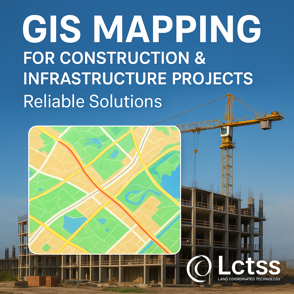
In today’s rapidly evolving construction and infrastructure sector, GIS (Geographic Information System) mapping has become an essential tool for accurate planning, efficient execution, and sustainable development. At Lctss (Land Coordinates Technology), we specialize in delivering professional GIS mapping services that empower architects, engineers, contractors, and government bodies to make data-driven decisions.
With the help of cutting-edge technology and skilled professionals, our GIS solutions ensure that construction and infrastructure projects are executed with precision, safety, and efficiency.
Table of Contents
ToggleGIS mapping is the process of capturing, analyzing, and visualizing spatial and geographic data to understand the physical environment. In the context of construction and infrastructure projects, GIS mapping provides:
Accurate land survey data
Detailed topographic maps
Utility mapping and underground network details
Spatial analysis for environmental impact
Optimized routes for roads, railways, pipelines, and utilities
By integrating GIS into construction, companies can avoid costly mistakes, reduce risks, and deliver projects on time.
Construction and infrastructure projects require massive investments, both financially and environmentally. Any error in planning or land assessment can lead to serious setbacks. GIS mapping plays a vital role by:
Ensuring Accurate Land Surveying – Provides precise terrain and boundary information.
Optimizing Project Design – Helps in visualizing land data and integrating it into project designs.
Risk Mitigation – Identifies potential issues like flood zones, soil erosion, or underground utilities.
Improving Resource Management – Enhances planning for manpower, materials, and logistics.
Supporting Smart Infrastructure Development – Aligns with modern sustainable development goals.
At Lctss, we offer tailored GIS mapping solutions that benefit multiple domains:
Route optimization
Land acquisition planning
Environmental compliance
Utility mapping (water, electricity, telecom)
Infrastructure asset management
Real-time monitoring for city development
Alignment studies
Land-use analysis
Safety and accessibility planning
Pipeline route planning
Catchment area mapping
Hydrological studies
Site feasibility studies
Land suitability analysis
Digital twin creation for project visualization
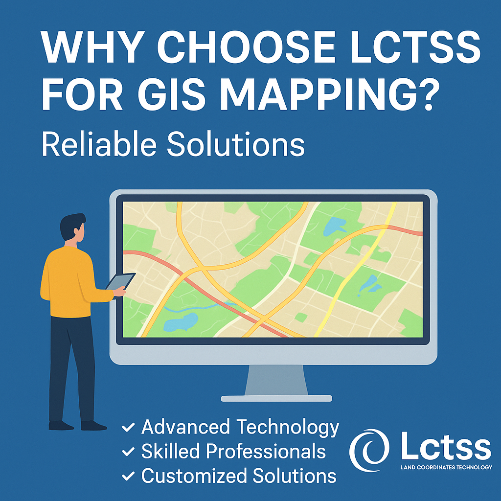
At Land Coordinates Technology (Lctss), we stand out as a trusted partner for construction and infrastructure GIS services because of our:
Advanced Technology – We use cutting-edge GIS software, LiDAR, drone mapping, and satellite imagery.
Skilled Professionals – Our team includes certified GIS experts, land surveyors, and civil engineers.
Customized Solutions – Every project is unique, and we tailor our services accordingly.
Accuracy & Reliability – High-precision mapping for error-free decision-making.
On-Time Delivery – We understand project deadlines and ensure timely results.
✅ Enhanced Project Planning – Detailed insights for informed decisions.
✅ Cost Savings – Avoids unnecessary reworks and delays.
✅ Environmental Sustainability – Compliance with environmental regulations.
✅ Improved Safety – Identifies hazards before project execution.
✅ Data Integration – Combines multiple datasets into a single digital platform.
Initial Consultation – Understanding client requirements.
Data Collection – Using drones, satellite imagery, LiDAR, and total stations.
Spatial Analysis – Processing and analyzing data with GIS tools.
Mapping & Visualization – Creating detailed maps and 3D models.
Delivery & Support – Providing results with technical support and updates.
Metro Rail Project Support – Accurate route planning and underground mapping reduced construction risks.
Highway Development – Optimized alignment saved land acquisition costs.
Urban Smart City Planning – Enhanced utility management and urban design efficiency.
⭐ Arun Prakash – Civil Engineer
“Working with Lctss was a game-changer. Their GIS mapping services gave us accurate land insights that saved both time and money during our highway project.”
⭐ Meena Raj – Project Manager, Urban Development
“The GIS solutions from Lctss helped us streamline utility mapping for a smart city project. Highly reliable and professional team.”
⭐ Ravi Kumar – Real Estate Developer
“Lctss provided us with detailed GIS maps that made land acquisition and planning smooth. Their expertise in infrastructure projects is unmatched.”
1. What is GIS mapping in construction projects?
GIS mapping integrates geographic data with project planning, helping in route optimization, land surveys, and resource management.
2. How does GIS mapping benefit infrastructure projects?
It ensures accurate data, reduces risks, improves planning, and supports sustainability.
3. Is GIS mapping necessary for small construction projects?
Yes. Even small projects benefit from accurate land and utility data, preventing costly errors.
4. Can GIS mapping help in smart city development?
Absolutely. It plays a vital role in utility mapping, urban planning, and infrastructure asset management.
5. What technologies does Lctss use for GIS mapping?
We use drones, LiDAR, satellite imagery, total stations, and advanced GIS software.
6. How accurate are GIS maps from Lctss?
Our maps are highly precise, with accuracy tailored to project requirements.
7. Can GIS mapping identify underground utilities?
Yes, GIS combined with Ground Penetrating Radar (GPR) can map underground utilities.
8. How long does a GIS mapping project take?
The duration depends on the project size, but Lctss ensures timely delivery.
9. Is GIS mapping cost-effective?
Yes. It prevents rework, reduces risks, and ensures efficient resource use, making it highly cost-effective.
10. Why choose Lctss over other GIS service providers?
Lctss offers a unique combination of advanced technology, skilled professionals, and customized solutions for construction and infrastructure projects.
GIS mapping is transforming construction and infrastructure development across India. By providing accurate data, risk assessment, and efficient planning, it ensures projects are sustainable, cost-effective, and delivered on time.
At Lctss (Land Coordinates Technology), we are committed to offering reliable GIS mapping solutions that help clients achieve success in their construction and infrastructure ventures.
Whether you are planning a highway, metro rail, smart city, or real estate project, our GIS mapping services will give you the precision and insights you need.