


Table of Contents
ToggleIn today’s rapidly evolving infrastructure and development landscape, accurate geospatial data plays a vital role in decision-making and project execution. Land Coordinates Technology (LCTSS) stands at the forefront of this transformation by offering advanced GIS Mapping Services powered by real-time data and cutting-edge survey techniques. By integrating modern tools with industry expertise, LCTSS ensures that clients receive highly reliable, precise, and actionable geospatial insights. These services are essential for sectors such as construction, urban planning, utilities, environmental monitoring, and infrastructure development, where precision and efficiency are critical.
LCTSS leverages advanced Geographic Information System (GIS) technology to collect, analyze, and visualize spatial data in a highly interactive and user-friendly format. With real-time data integration, clients can monitor ongoing changes, track project progress, and make informed decisions without delays. The ability to access updated geospatial information enhances operational efficiency and reduces the risks associated with outdated or inaccurate data. By combining GIS with modern surveying tools, LCTSS delivers comprehensive mapping solutions that meet the highest industry standards.
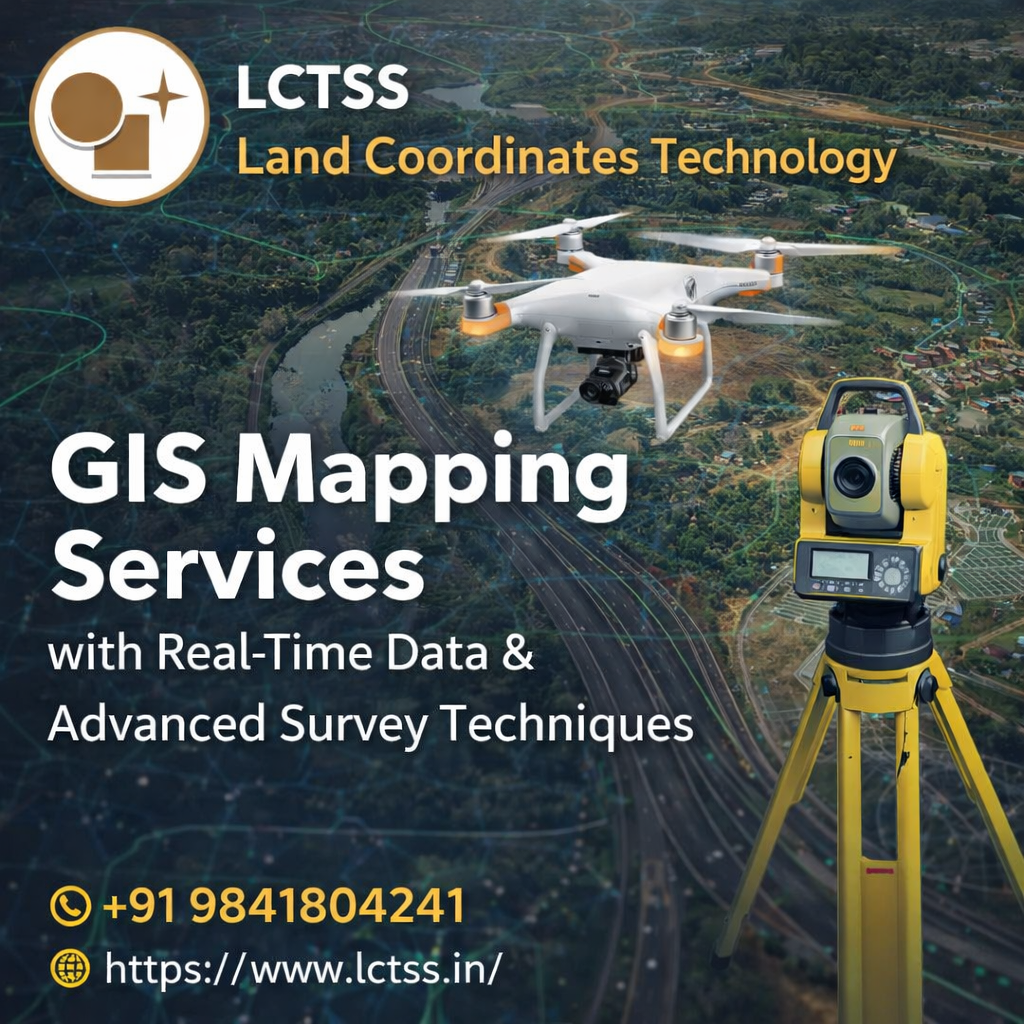
Land Coordinates Technology utilizes a wide range of advanced survey techniques to ensure the highest level of accuracy in GIS mapping projects. Technologies such as drone surveying, LiDAR scanning, total station surveys, and GPS-based mapping are integrated seamlessly to capture detailed and precise spatial data. These techniques enable the collection of high-resolution data even in challenging terrains, ensuring comprehensive coverage and reliability.
Drone surveying, for instance, allows for rapid data collection over large areas, significantly reducing time and labor costs. High-resolution aerial imagery captured through drones is processed to generate accurate orthophotos and digital elevation models, which are crucial for planning and analysis. Similarly, LiDAR technology provides highly detailed 3D point cloud data, enabling precise terrain modeling and structural analysis. By incorporating these advanced methods, LCTSS ensures that every GIS mapping project delivers unmatched accuracy and detail.
Total station and GPS survey techniques further enhance the precision of data collection by providing accurate ground control points and measurements. These methods are particularly useful in engineering and construction projects, where even minor errors can lead to significant issues. By combining traditional surveying expertise with modern technology, Land Coordinates Technology ensures that clients receive the most reliable and comprehensive GIS mapping solutions available.
One of the key advantages of LCTSS GIS Mapping Services is the integration of real-time data. In a dynamic environment where conditions can change rapidly, having access to up-to-date information is crucial. Real-time GIS data enables organizations to monitor changes as they occur, allowing for proactive decision-making and improved project management.
With real-time data capabilities, clients can track construction progress, monitor environmental conditions, and manage assets more effectively. This level of insight is particularly valuable in large-scale infrastructure projects, where timely decisions can significantly impact project outcomes. Real-time GIS mapping also enhances collaboration among project stakeholders by providing a centralized platform for data sharing and communication.
Land Coordinates Technology ensures that real-time data is seamlessly integrated into GIS platforms, providing clients with easy access to accurate and updated information. This not only improves efficiency but also minimizes errors and delays, leading to better project outcomes. By leveraging real-time data, LCTSS empowers organizations to make smarter, faster, and more informed decisions.
GIS Mapping Services offered by LCTSS have a wide range of applications across various industries. In urban planning, GIS helps in analyzing land use patterns, optimizing resource allocation, and planning sustainable development. For construction projects, GIS mapping provides accurate site analysis, helping engineers and planners design efficient and cost-effective solutions. In the utilities sector, GIS is used for asset management, network planning, and maintenance, ensuring reliable service delivery.
Environmental monitoring is another critical area where GIS mapping plays a significant role. By analyzing spatial data, organizations can track environmental changes, assess risks, and implement effective conservation strategies. GIS mapping also supports disaster management by providing real-time data for emergency response and recovery planning.

The benefits of GIS Mapping Services extend beyond accuracy and efficiency. By using advanced survey techniques and real-time data, LCTSS helps clients reduce project costs, improve productivity, and enhance overall project quality. The ability to visualize complex data in an intuitive format enables better understanding and communication among stakeholders, leading to more successful project outcomes.
Land Coordinates Technology (LCTSS) is committed to delivering high-quality GIS Mapping Services that meet the evolving needs of modern industries. With a team of experienced professionals and access to the latest technologies, LCTSS ensures that every project is executed with precision and efficiency. The company’s focus on innovation and customer satisfaction sets it apart as a trusted partner for geospatial solutions.
LCTSS takes a client-centric approach, understanding the unique requirements of each project and delivering customized solutions that align with specific goals. From data collection and processing to analysis and visualization, every aspect of GIS mapping is handled with utmost care and attention to detail. This comprehensive approach ensures that clients receive accurate, reliable, and actionable insights.
By choosing Land Coordinates Technology, clients gain access to advanced GIS mapping capabilities, real-time data integration, and industry-leading expertise. Whether it is a small-scale project or a large infrastructure development, LCTSS provides the tools and knowledge needed to achieve success. With a strong commitment to quality and innovation, Land Coordinates Technology continues to lead the way in delivering advanced GIS Mapping Services with real-time data and modern survey techniques.