


Table of Contents
ToggleIn today’s fast-paced construction and infrastructure development landscape, ensuring safety and accuracy before excavation begins is more important than ever. Hidden underground utilities, unknown voids, and structural inconsistencies can pose serious risks to both workers and project timelines. This is where GPR (Ground Penetrating Radar) Survey Services play a crucial role. Land Coordinates Technology (LCTSS) offers advanced GPR survey solutions designed to provide precise subsurface insights, enabling safe excavation and risk-free construction practices across a wide range of projects.
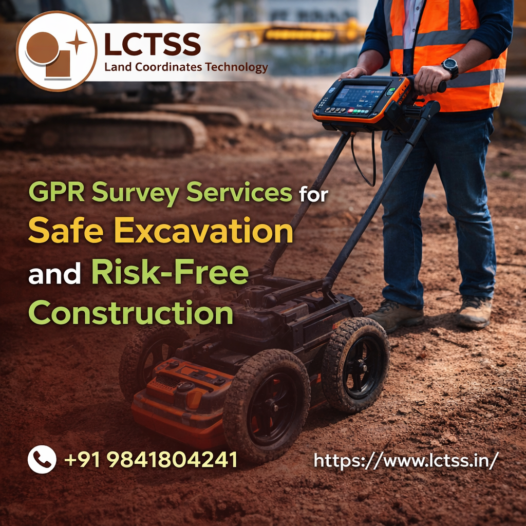
Ground Penetrating Radar is a non-destructive geophysical method that uses electromagnetic waves to detect objects and variations beneath the ground surface. By transmitting high-frequency signals into the ground and analyzing the reflected waves, GPR technology can accurately map underground utilities such as pipelines, cables, drainage systems, and even voids or buried structures. LCTSS utilizes state-of-the-art GPR equipment combined with expert analysis to deliver reliable data that helps clients make informed decisions before breaking ground.
Land Coordinates Technology (LCTSS) stands at the forefront of modern surveying by integrating advanced GPR technology with skilled expertise. The company’s GPR survey services are designed to meet the highest standards of accuracy, ensuring that every underground element is detected and mapped with precision. This level of detail is essential for construction companies, civil engineers, and project managers who need to avoid costly errors and unexpected hazards during excavation.
The use of advanced GPR systems allows LCTSS to scan various ground conditions, including soil, concrete, asphalt, and rock. Whether it’s identifying underground utilities in urban environments or detecting voids in highways and bridges, LCTSS ensures comprehensive coverage and dependable results. The data collected is processed and presented in an easy-to-understand format, enabling clients to visualize subsurface conditions clearly and plan their projects accordingly.
By leveraging cutting-edge technology, LCTSS minimizes the chances of accidental damage to existing infrastructure. This not only protects valuable assets but also helps avoid project delays, legal complications, and financial losses. With precise subsurface mapping, construction teams can proceed with confidence, knowing that potential risks have been thoroughly assessed and mitigated.
Safety is a top priority in any construction or excavation project, and GPR survey services play a vital role in maintaining a secure working environment. Undetected underground utilities such as gas lines, electrical cables, and water pipelines can lead to dangerous accidents if damaged during excavation. LCTSS addresses these challenges by providing accurate detection and mapping of all subsurface features, significantly reducing the risk of unexpected incidents.
With LCTSS’s GPR survey services, project teams gain valuable insights into underground conditions before excavation begins. This proactive approach allows for better planning and execution, ensuring that all safety measures are in place. By identifying potential hazards early, construction companies can implement appropriate precautions, thereby protecting workers, equipment, and the surrounding environment.
In addition to utility detection, GPR surveys are also effective in identifying voids, cracks, and structural weaknesses beneath the surface. These insights are particularly important for projects involving roads, bridges, and buildings, where hidden defects can compromise structural integrity. LCTSS ensures that every survey is conducted with precision and attention to detail, providing clients with reliable information to enhance safety and performance.
Risk management is a critical aspect of any construction project, and accurate subsurface data is the foundation of effective risk mitigation. LCTSS’s GPR survey services empower clients with the information they need to make informed decisions, reducing uncertainties and ensuring smooth project execution. By eliminating guesswork, these services help prevent costly mistakes and enhance overall project efficiency.
The detailed reports provided by LCTSS include comprehensive mapping of underground utilities and structures, enabling engineers and contractors to plan excavation activities with confidence. This level of clarity helps avoid unnecessary disruptions and ensures that construction progresses as planned. Moreover, the non-invasive nature of GPR technology means that surveys can be conducted without disturbing the site, making it an ideal solution for both pre-construction assessments and ongoing projects.
LCTSS’s commitment to quality and innovation ensures that clients receive the most accurate and reliable data available. The company’s team of experienced professionals works closely with clients to understand their specific requirements and deliver tailored solutions that meet project goals. Whether it’s a small-scale construction site or a large infrastructure project, LCTSS provides dependable GPR survey services that contribute to safe and efficient outcomes.
Choosing the right surveying partner is essential for achieving successful project results, and Land Coordinates Technology (LCTSS) has established itself as a trusted name in the industry. With a strong focus on accuracy, safety, and customer satisfaction, LCTSS delivers high-quality GPR survey services that cater to diverse project needs. The company’s expertise in advanced surveying technologies ensures that clients receive precise and actionable insights for their construction activities.
LCTSS combines technical excellence with a client-centric approach, ensuring that every project is handled with professionalism and care. From initial consultation to final report delivery, the company maintains clear communication and transparency, helping clients stay informed at every stage. This dedication to service excellence has earned LCTSS a reputation for reliability and trustworthiness in the field of land surveying and geophysical investigations.
In conclusion, GPR survey services are an indispensable tool for ensuring safe excavation and risk-free construction. By providing accurate subsurface data, these services help prevent accidents, reduce costs, and improve project efficiency. Land Coordinates Technology (LCTSS) leverages advanced GPR technology and expert knowledge to deliver reliable solutions that support successful construction outcomes. For any project requiring precision, safety, and confidence, LCTSS stands as the ideal partner for comprehensive GPR survey services.