


Table of Contents
ToggleThe demand for certified land surveyors has never been higher. From infrastructure development to smart city planning, skilled land surveyors play a crucial role in shaping the modern world.
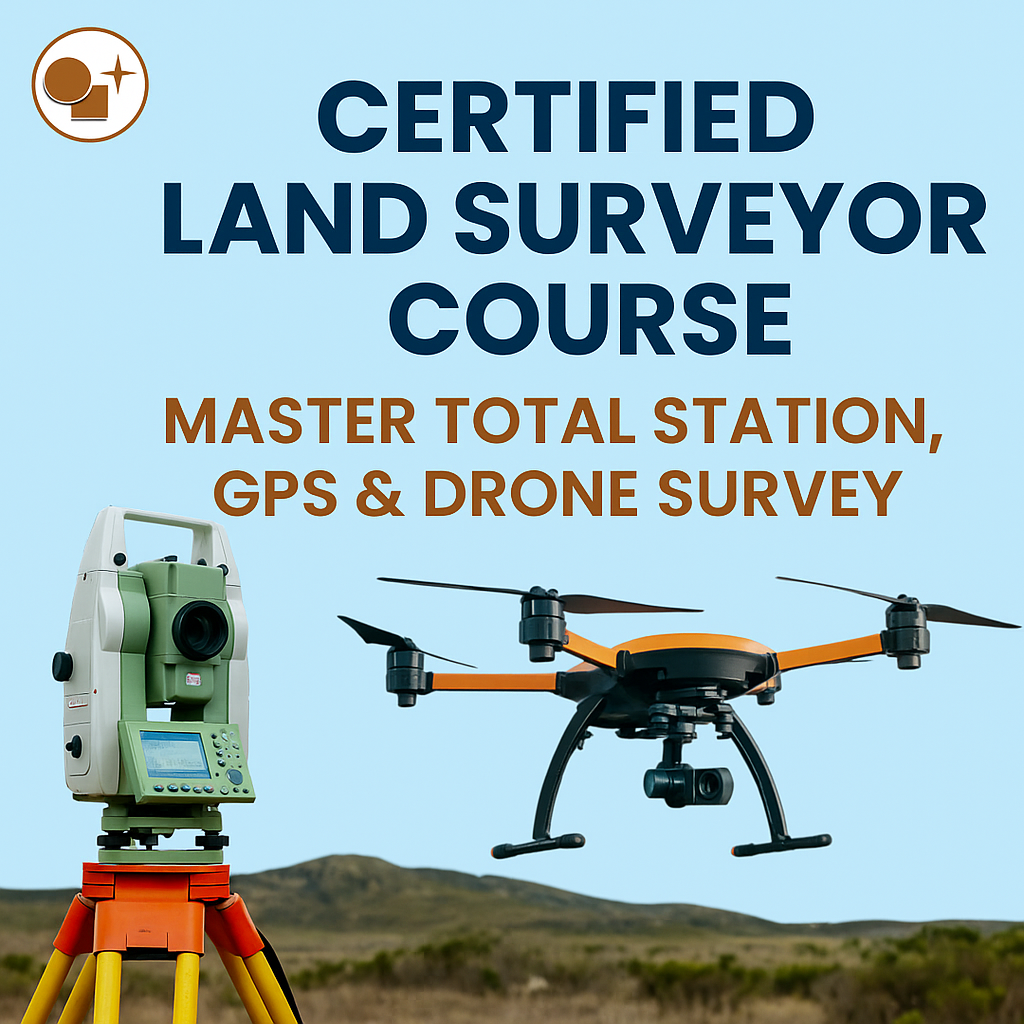
At Lctss (Land Coordinates Technology), we offer a Certified Land Surveyor Course designed to provide practical and theoretical knowledge of modern surveying technologies — including Total Station, GPS, and Drone Survey. Our training empowers students and professionals to perform accurate, efficient, and reliable land measurements for a wide range of civil and geospatial projects.
Whether you’re a student aiming to enter the surveying field or a professional looking to upgrade your technical skills, this course is your gateway to mastering the art and science of land surveying.
Lctss stands at the forefront of surveying and geospatial education in India. With a team of experienced professionals and advanced training modules, we provide hands-on learning experiences that prepare students for real-world challenges.
Industry-Standard Equipment: Learn using advanced Total Stations, GNSS/GPS receivers, and UAV (Drone) systems.
Field-Oriented Training: 80% of our course is practical fieldwork and data analysis.
Expert Trainers: Learn directly from professional land surveyors, GIS analysts, and engineers.
Certification: Receive a government-recognized certificate upon successful course completion.
Job Assistance: We help you connect with top surveying and construction firms across India.
Flexible Learning Options: On-site and online sessions to suit your schedule.
Our Certified Land Surveyor Course covers the latest surveying technologies and methodologies used in construction, land development, and geospatial mapping.
📅 3 to 6 Months (Flexible Schedule)
Diploma or B.E/B.Tech in Civil Engineering, Geoinformatics, or related fields.
10th/12th students with an interest in surveying and mapping are also eligible.
Classroom sessions + Hands-on field training
Real-time project work
Data processing and report preparation
Introduction to surveying and its importance in civil projects
Principles of measurement, accuracy, and error control
Understanding coordinate systems and mapping concepts
Introduction to Total Station and its components
Setting up instruments and performing field surveys
Measuring horizontal and vertical distances, angles, and coordinates
Data collection and downloading methods
Stakeout and topographic survey techniques
Basics of satellite positioning and GPS technology
Static and RTK GPS surveys
Coordinate transformations and data accuracy
Integration of GPS data with GIS platforms
Introduction to aerial mapping and photogrammetry
Drone flight planning and safety regulations
Data capture and image stitching techniques
3D modeling, contour mapping, and orthomosaic creation
Survey data import and processing in AutoCAD
Map preparation, layer management, and plotting
Introduction to GIS and data visualization
Conducting complete field projects
Generating topographical and contour maps
Preparation of technical reports and presentations
Industry standards and survey ethics
Job guidance and interview preparation
Freelance and entrepreneurship opportunities in surveying
By the end of the course, you’ll be able to:
✅ Operate and manage Total Station, GPS, and Drone Survey equipment effectively
✅ Perform topographical, boundary, and construction surveys
✅ Process field data and create accurate digital maps and drawings
✅ Analyze geospatial data using AutoCAD and GIS tools
✅ Apply professional surveying techniques in real-world projects
This course is perfect for:
Civil Engineers and Students aiming to specialize in surveying
Survey Professionals looking to upgrade to modern technologies
GIS and Mapping Enthusiasts interested in drone-based land analysis
Government and Private Employees in construction and infrastructure
Entrepreneurs planning to start their own surveying business
Upon completing the Certified Land Surveyor Course from Lctss, you can pursue a variety of roles, such as:
Land Surveyor
GIS Technician
Drone Mapping Specialist
Site Engineer (Survey Division)
Construction Surveyor
Cartographer
Geomatics Engineer
AutoCAD Draftsman
Employment Sectors:
🏗️ Civil Construction & Infrastructure
🌆 Urban and Regional Planning
🏞️ Mining & Environmental Mapping
🛰️ GIS and Remote Sensing Firms
🏠 Real Estate & Land Development Companies
In today’s fast-developing world, accurate land data drives every infrastructure project. Mastering Total Station, GPS, and Drone Survey gives you a strong competitive edge in the job market.
With smart city initiatives, infrastructure expansion, and digital mapping on the rise, trained survey professionals are among the most in-demand experts in India and abroad.
By mastering these tools, you’ll not only enhance your technical proficiency but also secure long-term career growth.

“The Certified Land Surveyor Course at Lctss completely transformed my career. I gained hands-on experience with Total Station and Drone Surveying, and now I work as a Site Surveyor for a major construction firm. The practical training was outstanding!”
“I had zero knowledge of GPS and GIS before joining Lctss. The trainers were patient and explained every step clearly. I now freelance as a land surveyor and handle projects confidently.”
“This course gave me a solid foundation in data processing and AutoCAD mapping. The field sessions were the best part — we learned using real equipment and real sites. Highly recommended for anyone in surveying!”
“Lctss provided exceptional drone survey training. I learned aerial mapping, contour generation, and 3D modeling. The certification helped me secure a job in a geospatial company.”
The course duration ranges from 3 to 6 months, depending on the learning pace and batch schedule.
Yes, Lctss certification is recognized by various industries and professional organizations across India.
Not necessarily. The course is designed for both beginners and professionals who want to enhance their skills.
You’ll work with Total Station, GPS/GNSS Receivers, Drones (UAVs), and AutoCAD/GIS software.
Absolutely. Lctss offers career guidance and placement assistance through industry connections.
Yes, we offer flexible learning options, including weekend and hybrid sessions for working professionals.
A certified land surveyor typically earns between ₹25,000 to ₹60,000 per month, depending on skill and experience.
Yes! Fieldwork is a core part of the curriculum, ensuring hands-on learning with real-world applications.
Definitely. The course includes modules on survey project management and business setup guidance.
You can enroll directly through our website at 👉 www.lctss.in or contact our training center for details.
The Certified Land Surveyor Course by Lctss (Land Coordinates Technology) is more than just a training program — it’s your stepping stone to a successful and rewarding surveying career. With advanced modules in Total Station, GPS, and Drone Surveying, you’ll gain the technical expertise and confidence to excel in today’s competitive industry.
Whether you aim to join top construction companies, government departments, or start your own surveying firm, this course equips you with the skills and certification needed to stand out.
📍 Start your journey to becoming a certified land survey expert today!
🌐 Visit: https://www.lctss.in/
📞 Contact Lctss – Your trusted partner in Land Surveying Education & Services.