


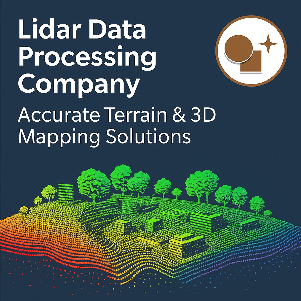
In today’s digital-first world, accurate mapping and reliable geospatial data are essential for infrastructure development, construction planning, mining, utilities, and environmental studies. Lidar (Light Detection and Ranging) technology has transformed the way land survey and mapping are carried out, providing highly precise 3D spatial data. However, collecting raw Lidar point cloud data is only the first step—true value comes from expert Lidar data processing.
At Lctss (Land Coordinates Technology), we are a trusted Lidar data processing company delivering accurate terrain mapping, 3D modeling, and geospatial insights. With cutting-edge technology, advanced software, and a skilled team of survey professionals, we help clients convert complex Lidar data into actionable intelligence for smarter decision-making.
Table of Contents
ToggleLidar is a remote sensing method that uses laser pulses to measure distances, generating dense point clouds representing the Earth’s surface and objects. While raw Lidar data is powerful, it requires specialized processing to extract meaningful insights such as:
Digital Terrain Models (DTM)
Digital Surface Models (DSM)
3D City Models
Contours & Elevation Maps
Feature Extraction (buildings, vegetation, utilities, etc.)
At Lctss, we transform raw datasets into high-resolution terrain models, accurate maps, and 3D visualizations tailored to client requirements.
When you work with Lctss, you’re not just hiring a data processing service—you’re partnering with a company dedicated to accuracy, efficiency, and innovation.
✔ High Accuracy Outputs – We use advanced Lidar processing software like LAStools, Terrasolid, and ArcGIS to deliver reliable results.
✔ Customized Solutions – From urban planning to forestry, we tailor deliverables based on industry-specific requirements.
✔ Experienced Team – Our survey experts and GIS specialists have extensive field and processing experience.
✔ Quick Turnaround – Efficient workflows and cloud-based collaboration ensure timely project delivery.
✔ Scalable Services – Whether you need small-scale mapping or large-scale national datasets, we have the capability.
We provide highly detailed Digital Terrain Models (DTM) for construction, mining, and infrastructure planning. DTMs strip away vegetation and structures, delivering a pure ground-level model.
Using advanced classification, we generate 3D models of urban areas, buildings, and infrastructure for smart city projects, urban development, and architectural visualization.
With Lidar processing, we assess vegetation height, canopy density, and biomass for forestry and environmental monitoring.
We create accurate contour maps at various intervals, essential for engineering design, flood risk assessment, and land development.
Our team specializes in processing Lidar data for roads, railways, power lines, and pipelines, ensuring safe and precise route planning.
We support environmental agencies with shoreline mapping, floodplain analysis, and erosion monitoring using high-resolution Lidar datasets.
Civil Engineering & Construction – Site analysis, earthwork calculations, road alignment.
Urban Planning – 3D modeling of cities, zoning studies, and infrastructure design.
Mining & Quarrying – Volume estimation, terrain monitoring, and pit design.
Forestry & Environment – Tree height analysis, forest inventory, and habitat mapping.
Transportation – Railway surveys, highway expansions, and airport planning.
Utilities – Power line monitoring, pipeline routing, and communication tower studies.
Lctss (Land Coordinates Technology) has built its reputation on precision, reliability, and client-focused solutions. Our goal is to help businesses, governments, and developers leverage Lidar data effectively for improved project outcomes.
End-to-End Support – From survey planning to final deliverables.
Quality Assurance – Strict accuracy checks before project submission.
Cost-Effective Solutions – Competitive pricing without compromising quality.
Client Satisfaction – Proven track record across Tamil Nadu, Kerala, Karnataka, and beyond.
⭐ Rajesh K. – Infrastructure Planner
“Lctss provided us with exceptional Lidar terrain models for our highway expansion project. The accuracy and detail saved us significant time in planning.”
⭐ Anita S. – Urban Development Officer
“We needed 3D city models for a smart city project. The Lctss team delivered precise data and outstanding visualizations that impressed stakeholders.”
⭐ Suresh M. – Mining Engineer
“The Lidar data processing service from Lctss helped us calculate volumes and monitor mine expansion with unmatched accuracy. Highly recommended.”
1. What is Lidar data processing?
Lidar data processing involves cleaning, classifying, and converting raw Lidar point clouds into usable outputs like terrain models, 3D maps, and elevation profiles.
2. How accurate is Lidar data processing?
Processed Lidar data can achieve centimeter-level accuracy, depending on survey conditions and processing techniques.
3. What industries benefit from Lidar data processing?
Industries like construction, mining, forestry, urban planning, utilities, and environmental monitoring benefit from Lidar data processing.
4. Can Lctss process large-scale Lidar datasets?
Yes, we handle both small and large-scale projects, from single sites to regional and national mapping.
5. What software does Lctss use for processing?
We use industry-standard software like LAStools, Terrasolid, ArcGIS, and QGIS for efficient and accurate results.
6. How long does Lidar data processing take?
Project timelines vary depending on data volume and complexity. Lctss is known for delivering projects quickly without compromising accuracy.
7. Does Lctss provide 3D visualizations?
Yes, we specialize in creating 3D models for cities, infrastructure, and terrain visualization.
8. Can Lidar data be used for flood risk assessment?
Absolutely. Lidar terrain models help in floodplain mapping, water flow analysis, and disaster management planning.
9. What makes Lctss different from other companies?
Our blend of technical expertise, customized solutions, and regional experience makes us a reliable choice for Lidar processing.
10. How can I request Lidar data processing services from Lctss?
You can contact us via our official website www.lctss.in or reach out directly to discuss your project requirements.
Choosing the right Lidar Data Processing Company is essential for turning raw datasets into valuable insights. At Lctss (Land Coordinates Technology), we deliver accurate terrain mapping, reliable 3D models, and industry-focused solutions to empower engineers, planners, and developers.
Whether it’s construction, mining, forestry, or urban planning, our expertise ensures you get precise, high-quality outputs that make projects smarter, safer, and more efficient.
👉 Partner with Lctss today and experience the future of geospatial intelligence through world-class Lidar data processing services.