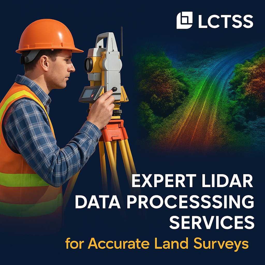


In the world of modern surveying and geospatial technology, Lidar (Light Detection and Ranging) has revolutionized how we capture, analyze, and interpret spatial data. At Lctss (Land Coordinates Technology), we offer Expert Lidar Data Processing Services tailored for accurate land surveys across India. Our advanced solutions support infrastructure development, urban planning, environmental assessments, and much more.
With years of domain experience and a dedicated team of geospatial specialists, we transform raw Lidar data into precise, usable formats that empower engineers, planners, and government agencies to make informed decisions.
Table of Contents
ToggleLidar data processing refers to the conversion of raw Lidar point cloud data into meaningful geospatial outputs such as Digital Elevation Models (DEM), Digital Terrain Models (DTM), contours, 3D models, and classified maps. This involves multiple steps:
Data pre-processing
Point cloud classification
Noise removal
Feature extraction
Elevation modeling
Surface generation
GIS integration
By leveraging automated tools and manual quality checks, Lctss ensures that the processed Lidar data is accurate, clean, and ready for use in various land survey applications.
We implement high-accuracy classification algorithms combined with QA/QC protocols to ensure your data is trustworthy and precise.
Our team consists of certified GIS analysts, land surveyors, and data scientists experienced in handling large Lidar datasets for diverse industries.
From raw data acquisition to final deliverables such as contours and terrain models, Lctss offers full-service Lidar data processing for land development projects.

We scale our processing workflows based on the project scope—whether it’s a 1-acre site or 10,000 hectares—ensuring efficiency and affordability.
Our deliverables are compatible with platforms like AutoCAD Civil 3D, ArcGIS, QGIS, Revit, and MicroStation.
We classify raw point clouds into categories such as ground, vegetation, buildings, and powerlines to help in precise terrain and asset modeling.
Our DTMs and DEMs are used in hydrological modeling, construction planning, and flood risk analysis.
We create high-resolution contour lines (0.5m, 1m, 2m intervals) for topographic mapping and land grading plans.
Our Lidar-to-3D modeling services help clients visualize site conditions in real-time for planning and simulation.
Ideal for forestry management and environmental monitoring.
We identify terrain or structural changes over time using multi-temporal Lidar data analysis.
We deliver precise Lidar data processing for powerlines, pipelines, and telecom corridor mapping.
We process Lidar data to be directly used in Building Information Modeling (BIM) platforms for architecture and engineering projects.
Lidar’s accuracy and detail make it ideal for a range of land survey applications:
| Application Area | Purpose |
|---|---|
| Urban Planning | 3D city models, zoning compliance |
| Road & Highway Design | Slope analysis, cut/fill optimization |
| Environmental Studies | Watershed mapping, forest canopy estimation |
| Construction & Site Surveys | Site grading, land leveling |
| Mining & Quarrying | Volume calculation, pit analysis |
| Agriculture | Crop health modeling, drainage pattern studies |
| Disaster Management | Floodplain mapping, landslide risk assessment |
| Coastal & Marine Surveys | Shoreline erosion modeling, tidal basin mapping |
Data Collection
We use aerial drones, UAVs, or terrestrial Lidar systems to acquire high-density data.
Pre-processing
Removal of noise, registration, and georeferencing.
Classification
Segmenting data into ground, vegetation, and man-made structures.
Surface Modeling
DEM, DTM, and DSM generation.
Feature Extraction
Roads, buildings, trees, and other assets.
Final Output Delivery
CAD files, GIS layers, 3D models in required formats.
All data processing is done with strict adherence to industry standards like ASPRS, USGS, and ISRO guidelines.
Lctss provides Lidar data processing services across:
Tamil Nadu
Kerala
Karnataka
Andhra Pradesh
Telangana
Maharashtra
Pan-India and international projects on request
Civil Engineering
Construction & Real Estate
Urban Planning Authorities
Railways & Transportation
Agriculture & Forestry
Oil & Gas
Mining
Power & Utilities
Government Departments
Environmental Consultancies
Accurate Lidar data reduces the margin of error in planning and execution. Whether you’re planning drainage for a residential township or siting a highway corridor, small elevation inaccuracies can lead to costly errors. Lctss prioritizes sub-decimeter precision in every step of processing.
We use industry-standard tools and platforms to process and analyze Lidar data:
Software: TerraScan, LAStools, Global Mapper, ArcGIS Pro, QGIS, AutoCAD Civil 3D
File Formats: LAS, LAZ, ASCII, GeoTIFF, DXF, SHP
Deliverables: DEM, DTM, DSM, Contours, Classified Point Clouds, CAD/GIS layers
“Lctss provided us with highly detailed and accurate Lidar outputs that made our infrastructure planning seamless.” – R. Venkat, Civil Engineer, Tamil Nadu
“Thanks to Lctss’s Lidar processing services, we were able to identify potential flood zones before construction began.” – M. Joseph, Urban Planner, Kerala
The average turnaround time is 3–10 business days depending on the data volume and required outputs.
Yes, we process Lidar data collected from drones, UAVs, helicopters, and terrestrial scanners.
We provide outputs in LAS, LAZ, DXF, SHP, TIFF, and other CAD/GIS-compatible formats.
Absolutely. We can generate contours at any interval—commonly 0.5m or 1m—for your topographic needs.
Yes, Lidar can capture millions of points per second and offers better accuracy over large areas compared to traditional methods.
Yes, Lidar can detect ground beneath vegetation by using multiple laser returns, making it ideal for forestry and environmental studies.
It’s the process of assigning categories (e.g., ground, building, vegetation) to Lidar points, which is essential for generating usable terrain and structural models.
Pricing depends on the area, resolution, and complexity. Contact us for a custom quote.
Yes, Lctss offers end-to-end services from Lidar data collection to processing and delivery.
Yes, we have completed several projects for municipal bodies, irrigation departments, and highway authorities.
Ready to get started with high-accuracy Lidar data processing for your land survey project? Contact Lctss (Land Coordinates Technology) today:


At Lctss, we combine advanced geospatial expertise with robust processing tools to deliver Expert Lidar Data Processing Services that ensure accuracy, reliability, and cost-efficiency. Whether you’re mapping a city, designing a road, or managing a forest, our Lidar solutions are engineered to empower your projects with data you can trust.