


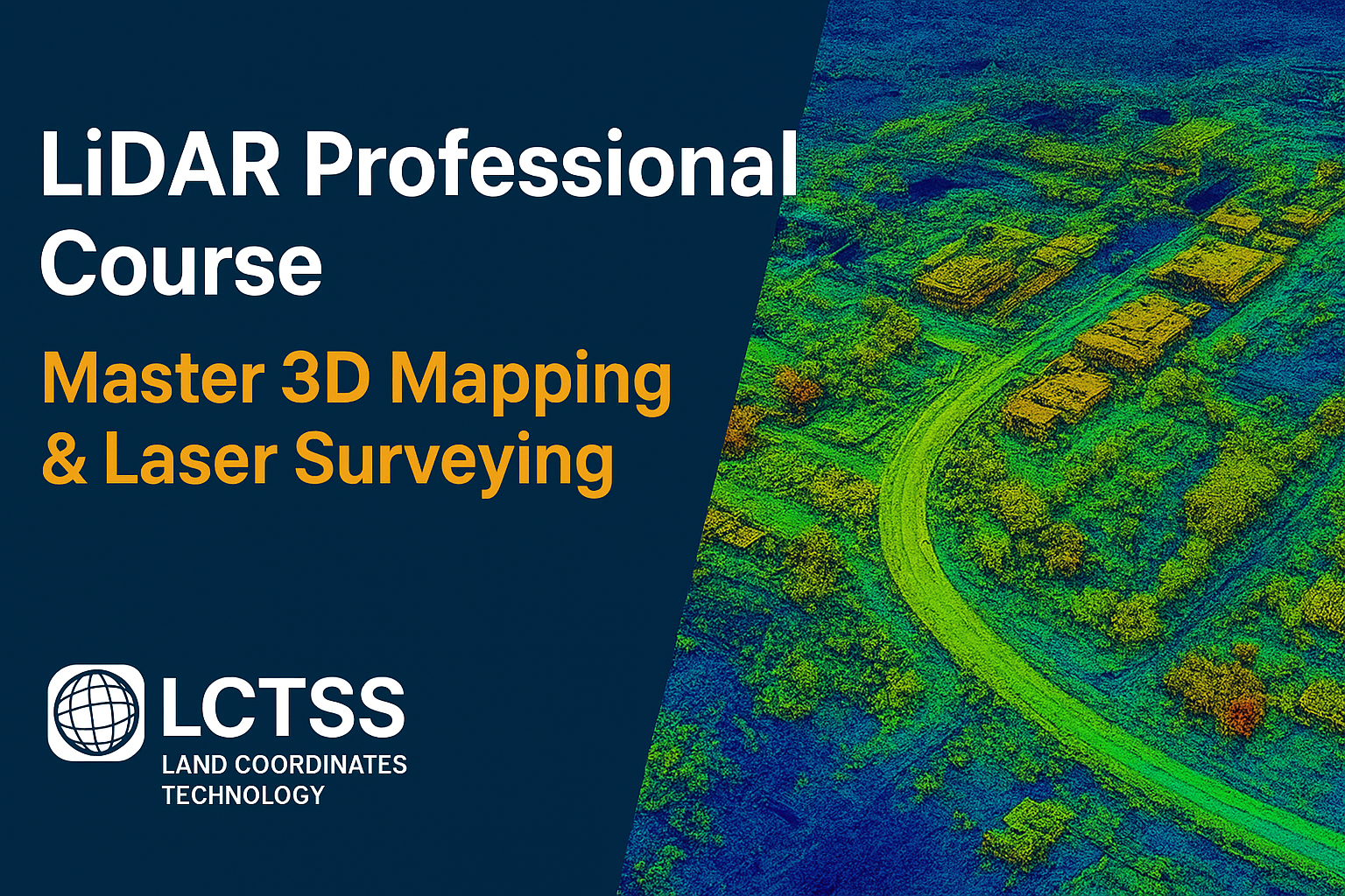
In today’s rapidly evolving geospatial and surveying industry, LiDAR (Light Detection and Ranging) has become the backbone of modern mapping, infrastructure planning, environmental monitoring, and smart city development. If you want to build a successful career in 3D mapping, laser scanning, or digital survey technologies, the LiDAR Professional Course by Lctss (Land Coordinates Technology) is the perfect gateway to becoming a highly skilled LiDAR specialist.
This advanced hands-on program is designed for land surveyors, GIS professionals, civil engineers, architects, drone operators, environmental analysts, and students aiming to master cutting-edge LiDAR techniques across multiple platforms—including Aerial LiDAR, Terrestrial LiDAR, Mobile LiDAR, and SLAM-based LiDAR systems.
Whether you’re looking to upgrade your technical expertise or step into high-tech surveying roles, this course provides the knowledge, practical experience, and industry insights needed to excel.
Table of Contents
ToggleLiDAR has transformed the geospatial industry by delivering high-accuracy 3D point clouds, enabling detailed terrain models, infrastructure mapping, vegetation analysis, and reality capture at scales never before possible. Industries across India—construction, mining, highways, smart cities, utilities, archaeology, agriculture, and defense—are rapidly adopting LiDAR-based workflows.
With this rising demand, skilled LiDAR professionals are now among the highest-paid specialists in the surveying and geospatial domain.
Lctss equips you with real-world LiDAR training to step confidently into these advanced roles.
The LiDAR Professional Course – Master 3D Mapping & Laser Surveying by Lctss offers a complete, industry-oriented curriculum that covers:
Fundamentals of laser scanning
Understanding LiDAR sensors and hardware
Aerial, terrestrial & mobile LiDAR workflows
Drone-based LiDAR mission planning
3D point cloud processing techniques
SLAM LiDAR for indoor/outdoor mapping
LiDAR classification, filtering & feature extraction
Digital elevation models (DEM), DSM, & contour generation
LiDAR applications across industries
Quality control, accuracy assessment & reporting
Real project-based training with live LiDAR datasets
With a blend of theory, practical demonstrations, field operations, and hands-on software training, Lctss ensures every learner gains deep confidence in professional LiDAR workflows.
You will learn the science behind LiDAR—how laser pulses measure distances to generate high-density 3D information. Topics include:
Laser scanning physics
Time-of-flight measurement
LiDAR waveforms & returns
Accuracy parameters & precision factors
The course gives in-depth exposure to all major LiDAR platforms:
Aerial LiDAR (Drone, Aircraft-based)
Terrestrial LiDAR (Tripod-mounted laser scanners)
Mobile LiDAR (Vehicle-mounted mapping systems)
SLAM LiDAR (Handheld & backpack systems for indoor mapping)
This multi-platform knowledge prepares learners for diverse job requirements.
Drone LiDAR is one of the most in-demand skills today. You will learn:
Mission planning & flight parameters
Drone-LiDAR calibration
Ground control points (GCPs)
Flight heights, scan angles, & point density
Collecting & validating LiDAR data
Lctss uses real-time drone demonstrations for practical understanding.
You will perform and process data from:
Static laser scanners on tripod
Vehicle-mounted LiDAR for road mapping
SLAM-based LiDAR for indoor & GPS-denied areas
This helps learners map buildings, corridors, industries, tunnels, streets, and outdoor environments effectively.
One of the core modules is mastering LiDAR data processing using industry-leading software tools such as:
LAStools
Pix4D Mapper / LiDAR
TerraScan / TerraSolid
CloudCompare
ArcGIS / QGIS
ReCap / Civil 3D / Revit (for BIM integration)
Skills include:
Point cloud visualization
Noise reduction & filtering
Ground classification
Feature extraction (buildings, roads, utilities, vegetation)
Generating DEM, DSM, contours
Creating 3D models & mesh reconstruction
LiDAR-based volume calculations
You will explore how LiDAR is used in:
Land survey & topographical mapping
Highway and railway corridor mapping
Powerline & utility network monitoring
Construction & infrastructure planning
Mining volume estimation
Smart city planning
Environmental and forestry mapping
Flood modelling and watershed analysis
Archaeological site documentation
Digital Twin & BIM integration
Understanding quality control in LiDAR is essential. You will learn:
Error analysis (RMSE, accuracy checks)
Control point verification
Data alignment and registration
Deliverable standards & reporting
Learners complete a full LiDAR survey project, including:
Field planning
Data collection
Point cloud processing
Analysis & modeling
Final deliverables
This makes your portfolio industry-ready.
Learn from professionals who have completed LiDAR projects in highways, mining, smart cities, and infrastructure.
Real hardware, real drone flights, real datasets—no simulations.
Skill-building tailored for careers in LiDAR surveying, GIS, and mapping.
Master top LiDAR processing software used globally.
Work on actual LiDAR datasets collected by experts.
Industry-recognized certifications to boost your career.
Guidance for resumes, interviews, internships, and job applications.
This course is ideal for:
Land Surveyors
Civil & Structural Engineers
GIS Analysts & Technicians
Drone Pilots
Architects & BIM Professionals
Remote Sensing Students
Environmental Engineers
Forestry & Mining Professionals
Anyone interested in 3D mapping and laser scanning
No previous experience in LiDAR is required.
Upon completing the LiDAR Professional Course, you can apply for roles such as:
LiDAR Data Analyst
LiDAR Survey Engineer
Drone LiDAR Operator
GIS LiDAR Specialist
Mobile Mapping Engineer
3D Point Cloud Technician
Reality Capture Specialist
BIM – LiDAR Integration Engineer
Digital Twin Mapping Expert
Remote Sensing Analyst
Salary packages in India for LiDAR specialists range from ₹3.5 LPA to ₹12 LPA, depending on skills and experience.
Duration: Based on selected batch (regular / weekend / fast-track)
Mode: Classroom + Practical + Field Training
Certification: Lctss LiDAR Professional Certificate (Industry Recognized)
“Lctss gave me hands-on experience with drone and terrestrial LiDAR. Their trainers are excellent, and I got placed within two months after completing the course.”
“The LiDAR Professional Course helped me understand point cloud processing in a practical way. The real datasets and field training were extremely helpful.”
“The best LiDAR course I’ve attended. The SLAM LiDAR training and drone mapping sessions were game-changing for my career.”
“I learned advanced LiDAR workflows that I now use daily in my construction projects. Lctss training is highly recommended.”
This course teaches you the complete workflow of LiDAR technology—data acquisition, drone/TLS/mobile LiDAR operations, point cloud processing, 3D modelling, and data analysis.
No. The course is designed for both beginners and professionals.
Yes. Lctss provides practical sessions with drone LiDAR, terrestrial LiDAR, mobile LiDAR, and SLAM-based LiDAR.
LAStools, CloudCompare, TerraScan, Pix4D, ArcGIS/QGIS, Civil 3D, ReCap, and other point cloud processing tools.
Yes. LiDAR specialists are in high demand, and Lctss offers placement support.
Yes. You will receive an industry-recognized certification from Lctss after completing the course.
Yes. Drone-based LiDAR survey training is a core part of the course.
Course duration varies depending on your selected batch (regular/weekend).
Yes. Weekend and fast-track batches are available.
Absolutely. Many students transition from civil engineering, GIS, and surveying backgrounds to LiDAR roles.
If you want to build a future-proof career in 3D mapping, laser scanning, drone surveying, or geospatial technology, this course is the perfect investment.
Join the LiDAR Professional Course at Lctss (Land Coordinates Technology) and transform your career with advanced LiDAR expertise.