


Table of Contents
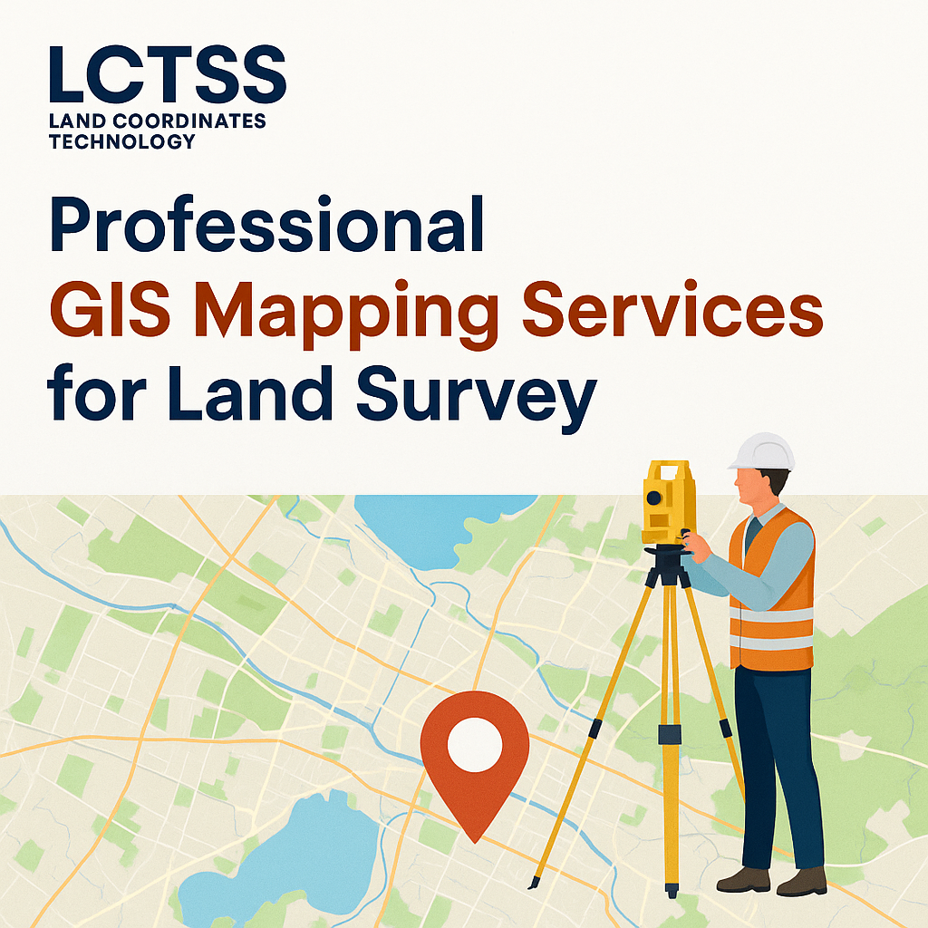
ToggleIn today’s technology-driven landscape, accurate land survey data plays a crucial role in planning, development, and resource management. Geographic Information System (GIS) mapping services offer a powerful tool for collecting, analyzing, and visualizing spatial data. At Lctss (Land Coordinates Technology), we specialize in professional GIS mapping services for land surveys, helping clients across Tamil Nadu, Kerala, and Karnataka to make data-driven decisions with precision.
GIS mapping is the process of capturing, storing, analyzing, and presenting geographic data using specialized software and geospatial tools. It enables surveyors, engineers, urban planners, and decision-makers to interpret complex spatial relationships, identify patterns, and visualize real-time land data through maps and 3D models.
Whether it’s for land use planning, topographic mapping, utility management, or infrastructure development, GIS plays a transformative role in the way land is understood and managed.
At Lctss, we offer professional GIS mapping services backed by advanced equipment, experienced surveyors, and cutting-edge software like ArcGIS, QGIS, and AutoCAD Map 3D. Here’s why our services stand out:
GIS mapping ensures precision in land boundaries, elevation data, vegetation cover, water bodies, and infrastructure layouts. Our team uses GPS-enabled drones, RTK surveying tools, and remote sensing to ensure your land survey data is accurate and actionable.
Traditional land surveying methods can be time-consuming. GIS mapping drastically reduces project timelines by automating data collection and processing. Lctss provides faster, real-time GIS survey services without compromising on quality.
Our GIS land survey services are scalable and tailored to your project needs. Whether you’re surveying a small plot or a large infrastructure site, our solutions offer high value at an affordable cost.
GIS not only captures raw data but also turns it into interactive maps, heatmaps, and 3D models. This helps stakeholders visualize the land better and make informed decisions for planning, construction, or environmental assessments.
At Lctss, we offer integrated solutions by combining GIS, Total Station Survey, Drone Survey, Lidar Survey, and Contour Mapping into one seamless land surveying experience.
GIS mapping is applicable across a wide range of sectors. Some of the most common uses include:
Property and Boundary Mapping
Urban and Rural Development Planning
Land Use and Zoning Analysis
Disaster Management and Risk Assessment
Infrastructure Layouts (Roads, Pipelines, etc.)
Agricultural and Forestry Surveys
Environmental Impact Studies
Mining and Natural Resource Mapping
Watershed and Drainage Mapping
Real Estate Site Planning
Lctss provides GIS mapping services for land survey to a wide range of industries, including:
Civil Construction
Government Departments
Agriculture and Irrigation
Real Estate and Property Development
Oil and Gas
Energy and Utilities
Environmental Agencies
Mining Companies
Transport and Logistics
Educational and Research Institutions
At Lctss, we follow a structured and professional approach to deliver precise GIS mapping results:
We begin with a thorough understanding of your project scope, land characteristics, and data requirements. This helps us choose the most suitable GIS tools and techniques for the job.
Our expert surveyors collect geospatial data using drones, GPS devices, satellite imagery, and total station equipment. We ensure that every data point is geo-referenced and time-stamped.
The collected data is processed using GIS software such as ArcGIS and QGIS. We clean, analyze, and layer the data to extract meaningful insights based on terrain, elevation, soil type, or infrastructure.
The processed data is converted into visually appealing maps, 3D topographic models, and spatial dashboards that can be used for reports, planning, or presentations.
Clients receive a complete GIS report with maps, datasets, shapefiles, and technical recommendations. Our consultants walk you through the insights and support your planning or project development phases.
We proudly offer GIS mapping services for land surveys across southern India, especially in:
Tamil Nadu: Chennai, Coimbatore, Madurai, Salem, Tiruchirappalli, Erode
Kerala: Kochi, Thiruvananthapuram, Kozhikode, Thrissur, Palakkad
Karnataka: Bengaluru, Mysuru, Mangaluru, Hubballi, Belagavi
15+ Years of Experience in Land Surveying
Dedicated GIS Specialists and Remote Sensing Experts
ISO-Certified Surveying Procedures
End-to-End GIS Solutions from Data Capture to Reporting
Affordable Pricing with Flexible Project Sizes
Fast Turnaround and On-Time Delivery
Lctss incorporates the latest technologies to deliver precise and efficient GIS mapping services:
GIS Software: ArcGIS, QGIS, Global Mapper, AutoCAD Map 3D
Survey Equipment: RTK GPS, DGPS, Total Station, UAV Drones
Remote Sensing Tools: Satellite Imagery Analysis, Photogrammetry
Data Formats: Shapefiles (SHP), GeoTIFFs, KML, DWG, DXF, CSV
Case Study 1: GIS Mapping for Urban Planning in Chennai
We helped the Chennai Municipal Authority map over 250 sq. km of urban infrastructure using GIS and drone surveys. The resulting data helped streamline drainage and road network planning.
Case Study 2: Agricultural GIS Mapping in Kerala
Our team provided GIS-based land use mapping for over 500 hectares of farmland in Palakkad, Kerala. The data supported irrigation planning and soil conservation strategies.
Case Study 3: Infrastructure GIS Survey in Bengaluru
For a leading infrastructure company, we conducted GIS-based utility mapping for a metro line project, aiding in alignment planning and underground utility detection.
GIS mapping in land surveying involves the use of geographic information systems to collect, process, and visualize spatial land data. It enhances the accuracy and usability of survey data for planning and decision-making.
GIS provides precise, location-based insights that help in land use planning, zoning, environmental impact assessments, and infrastructure layout—all of which are essential for land development.
GIS offers faster data collection, higher accuracy, better visualization, real-time updates, and integration with other technologies like drones and LiDAR.
GIS mapping costs vary based on the area covered, tools used (e.g., drone or satellite), and the level of detail required. Lctss offers flexible pricing packages tailored to project needs.
GIS can provide elevation data, land cover, boundaries, infrastructure layouts, utility lines, vegetation patterns, soil types, and more.
Yes, GIS mapping is scalable and can be effectively used for small residential surveys, real estate projects, and boundary verification.
Timeframes depend on the size and complexity of the land. Small projects can be completed within days, while larger GIS mapping projects may take weeks.
Yes, we have extensive experience in handling GIS-based survey requirements for government departments and public infrastructure tenders.
You will receive georeferenced maps, shapefiles, 3D models, digital reports, attribute tables, and consultation on data interpretation.
You can contact our team via phone, email, or our website. We offer free consultations and customized proposals for your land survey requirements.